Regional Summaries

ACMG Mountain Conditions Report for the Rockies and Columbias Mountains Issued June 17th, 2021

Its been a mixed bag of weather this past week with intense thunderstorms and rain (some snow up high) to scorching temperatures both in the Rockies and Columbias.

This weekends forecast looks mainly sunny in both regions with valley temperatures ranging from 15 – 20+C and no significant precipitation.
ACMG Mountain Conditions Report for the Rockies and Columbias Mountains Issued June 10th, 2021

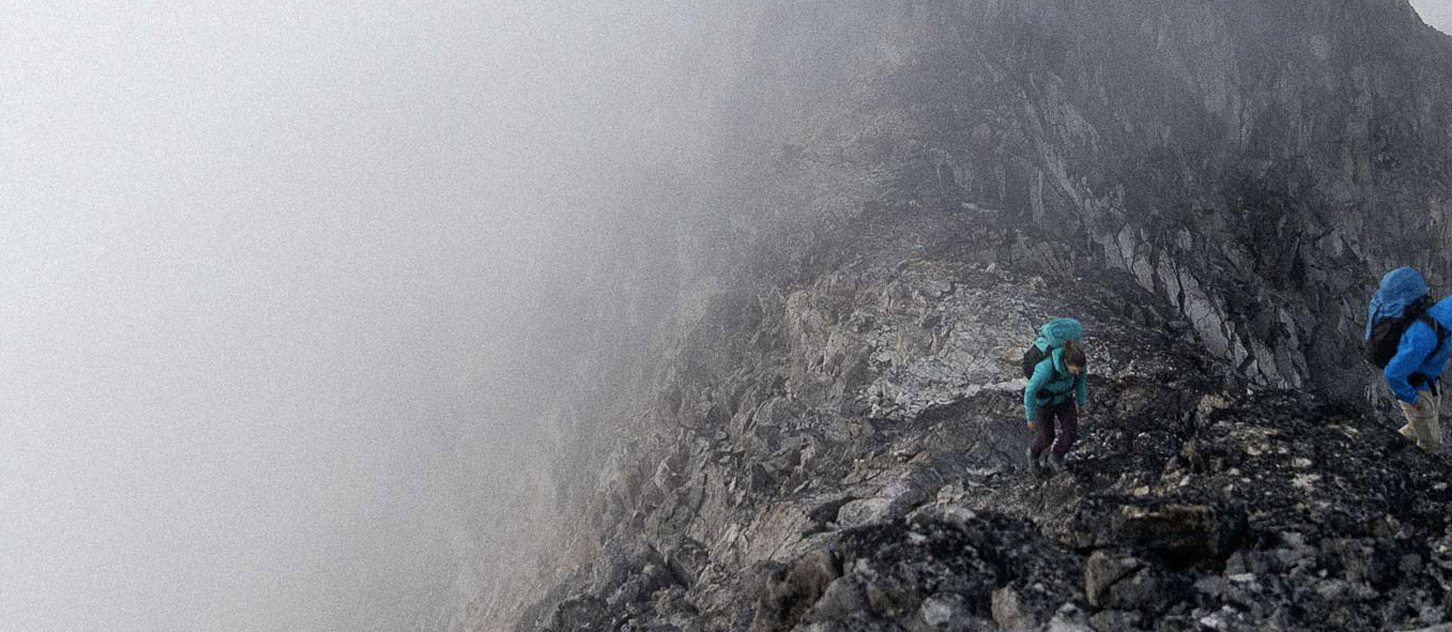
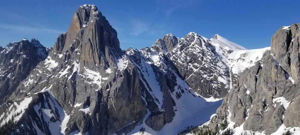
Summer is slowly staggering into town but there was fresh white dust above Lake Louise again today and the treeline and alpine is still deep in transitional mode along the divides.

Avalanches are still happening in full sun on hot days and possibly in an intense rain and there is always the possibility of new Windslabs up high. Weather looks really variable across the ranges for the next little while so though you could get a fine day of snow conditions I wouldn't be overly certain about perfect conditions for launching out on a multi-day snow travel adventure this weekend.

ACMG Mountain Conditions Summary for the Rockies and Columbia Mountains. June 4, 2021

WEATHER
The past few days have been very hot with high freezing levels and little to no overnight crust recovery in the alpine. River and creek levels are way up as a result. The snowline is still down into treeline on north aspects in the Rockies and Columbia's. Steep south facing terrain at treeline and above is melting back quickly but expect snow patches at higher elevations.

The weekend forecast is for a cooling trend with the possibility of thunder showers, rain showers and unsettled conditions leading into next week.

ACMG Mountain Conditions Summary for the Coast Mountains - June 3rd, 2021

The mountains are getting ready to welcome us back.

Conditions
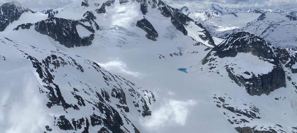
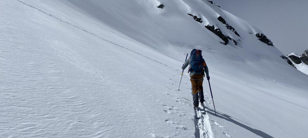
All in all conditions are shaping up quite nicely to be back climbing in the alpine. Snow cover is a bit behind that of last year, which was even more snow than usual. Hiking trails are snow-free up to 1200 – 1500m and in the high country, the snow is well enough settled in most places to travel on foot, assuming you don’t mind some post-holing. For those who are still looking for some skiing, soft corn still is possible. Snow is starting to become sun-cupped but until then smooth enough for some ski fun.

ACMG Mountain Conditions Summary for the Rockies and Columbia Mountains. May 28, 2021

WEATHER
The past few days have been mixed with numerous small storms from the west carrying modest precip amount of rain and, above 2000 m, snow. Accumulations in the high alpine range from 20+ cm west of the divide to 10 cm or less further east. The forecast for the weekend is for drying out and clearing, with Sunday looking to be a lovely day to be in the mountains. There should be good overnight freezes with low temps in the alpine of -4 or colder, plenty of sun, and light winds.

HAZARDS

ACMG Mountain Conditions Summary for the Rockies and Columbias Mountains issued May 20th, 2021

Another mixed bag of transitional weather and conditions is in store for the May long weekend.

Weather
The current weather pattern affecting the Rockies and Columbia mountains is upslope in nature - meaning that the farther north and west you find yourself, the better the weather will be. Overnight temperatures are consistently below freezing throughout the forecast zone, while the daytime highs, precipitation and cloud cover vary greatly. Check your local forecast.

ACMG Mountain Conditions Summary for the Coast Ranges - May 13, 2021

It’s that time of year again when Avalanche Canada has paused forecasting for avalanche hazard (although their ongoing daily weather synopsis is a great product at https://www.avalanche.ca/weather/forecast), most winter operations such as ski areas and lodges have shut down, and reports on the Mountain Information Network become fewer and fewer.

ACMG Mountain Conditions Summary for the Rockies and Columbia Mountains Nov 12, 2020

A storm earlier this week brought winter back to the mountains and deposited up to 20 cm up high along with a fair bit of wind from the SW. Temperatures have been well into the negative double digits in the alpine with highs around -15 recently. At treeline and below it's been milder, but still seasonably cold; Bow Summit for example went up to -8 briefly this afternoon.

Pages