Regional Summaries

ACMG Mountain Conditions Summary for the Rockies and Columbia Mountains issued November 16th, 2017

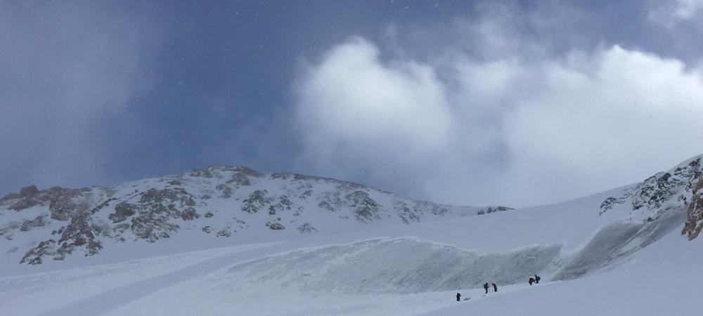
This past week's little storms left most their load west of the divide. Avalanche hazard has risen and in much of the Columbia Mountains it is now Considerable hazard in the alpine, potentially rising to High with the next storm by Sunday. If the forecast strong SW winds come to the Rockies the avalanche hazard will spike there too as wind slabs build mass. As we all know, Considerable hazard is when the accidents seem to happen most, and as Steve mentioned last week this is about the right time of the year for the first avalanche incident -- so don't let it happen to you this weekend.
ACMG Mountain Conditions Summary for the Rockies and Columbia Mountains issued November 9th, 2017

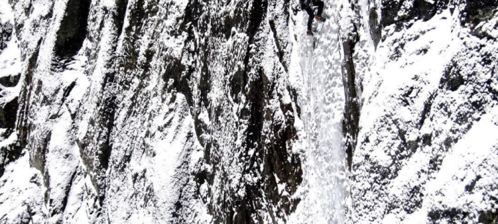
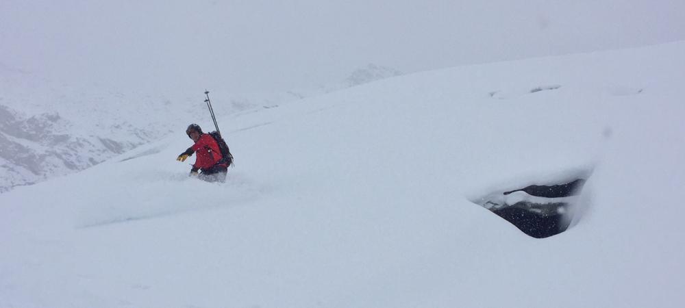
Winter came in quick this week. In the Rockies many ice climbs have formed up really nicely, and people are getting after it. There are isolated wind slabs in the alpine that should be on peoples minds, and at treeline and above there is enough snow to avalanche, especially in that classic gully terrain that most ice climbs form in. Ski conditions have been reported as a mixed bag with some decent turns being found up high and a fairly supportive crust that is being dubbed the “Halloween “ crust in the mountain parks.

ACMG Mountain Conditions Summary for the Rockies and Columbia Mountains issued November 3rd, 2017

It's been a stormy week, as everyone knows whether they've been into the alpine or not (mostly not from the sounds of it), with precipitation amounts between 20-70 cm.

In the Columbia and Rockies winter-like conditions exist with a snowpack depth ranging from 50 up to 120+ cm above 2000 m. Below 2000 m coverage tapers off. In the Rockies, and especially east of the divide very cold temperatures down to -25 C and winds from the north have been reported.

ACMG Mountain Conditions Summary for the Rockies and Columbia Mountains issued October 26th, 2017

This past week provided a mixed bag of early winter weather in the Rockies and Columbia mountains with steady but small doses of precipitation, cold overnight lows, and lots of wind to transport the fresh snow.

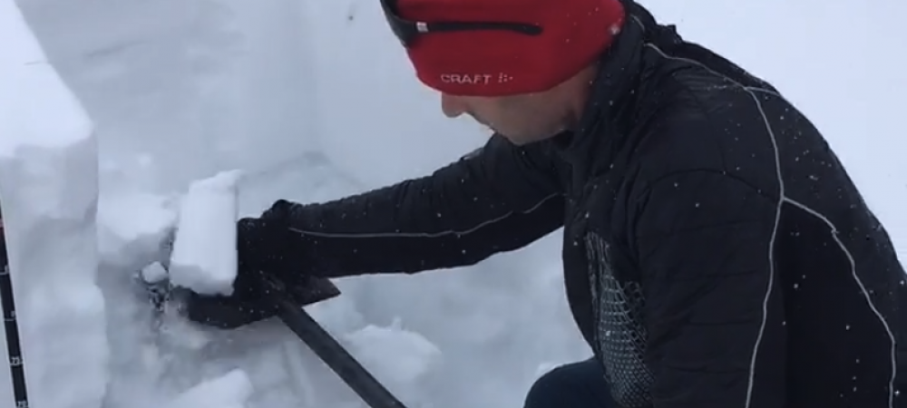
It's time to be carrying avalanche gear if you are considering heading into the alpine. Remember to do a quick beacon check and companion rescue refresher with your buddies before you head out. The recent tragedy in Montana is a sobering reminder to us all.

ACMG Mountain Conditions Summary for the Rockies and Columbia Mountains issued October 13th, 2017

Winter has paid us another visit, but this time instead of couch surfing it looks like the old man is here to stay, in the alpine at least. Reports of cold temperatures (-5 to -10), dumps in the 30 cm range with snow levels reaching well below treeline and moderate winds form the N and E mean that the carefree days of alpine travel are over for now.

ACMG Mountain Conditions Summary for the Rockies and Columbia Mountains issued October 5th, 2017

Gorgeous autumn days in the Rockies and Columbias but it is a bit complicated up high. The little bit of snow we had last weekend has stuck and melted and frozen into some pretty good conditions until things changed yesterday and today. Temperatures got well above freezing in the alpine, especially today with a strong inversion and it looks like it covered a large part of the Rockies and Columbias. Only real time report was from Abbott Pass this morning. It was 8c and it sounded like the rockfall yesterday and today was big and busy.

ACMG Mountain Conditions Summary for the Rockies and Columbia Mountains issued September 28th, 2017

It has been a lovely transition from winter to summer but it looks like we might be back to autumn in the Rockies and Columbia Mountains by Saturday sometime. Cooler temps and some precipitation will make things greasy once again. The remaining snow has gone through a pretty strong melt cycle to at least 3000m and hopefully that remaining snow is stuck to the ground and free of weak layers(for now).

ACMG Mountain Conditions Summary for the Rockies and Columbia Mountains issued September 21st, 2017

Wintry day today even below Treeline. Snow fell down to about 1500m around Canmore and was trying hard to stick to the ground around the Ghost River.

We have very limited data right now but an informed guess would that over 20 cm has recently fallen along the Rockies Divide and it is probable that WSL's up to around 50cm exist in lee features in the alpine.

Pages