ACMG Mountain Conditions Summary for the Rockies and Columbia Mountains issued October 13th, 2017
Winter has paid us another visit, but this time instead of couch surfing it looks like the old man is here to stay, in the alpine at least. Reports of cold temperatures (-5 to -10), dumps in the 30 cm range with snow levels reaching well below treeline and moderate winds form the N and E mean that the carefree days of alpine travel are over for now.
The big news of the week was the tragic avalanche fatality in Montana. Further north in Canada, new snow amounts in the 30 cm-plus range as well as moderate winds from the N and E -- that have packed lee aspects with slabs up to 100 cm deep -- mean it’s time to use extra caution. Before you head out in search of glory please make sure you brush the pow off your avalanche skills and start thinking about slab avalanche hazard.
Early October usually means that the keenest of skiers start getting up high and laying down some turns and this year is no exception. One group reported good skiing on the low-angled, planar Farnham Glacier, with 50 cm and as much as 70 cm at 2770 m. Of course the skiing below glacier levels was very rugged and not recommended.
Ice has been forming fast and many high shady alpine lines are coming into climbing condition. However, with the recent loose and slab avalanche activity you’ll want to think twice about charging into gully features or below cliffs with overhead hazard that has been loaded by wind. One guide north of Jasper reported backing off of ice climbing objectives due to avalanche activity.
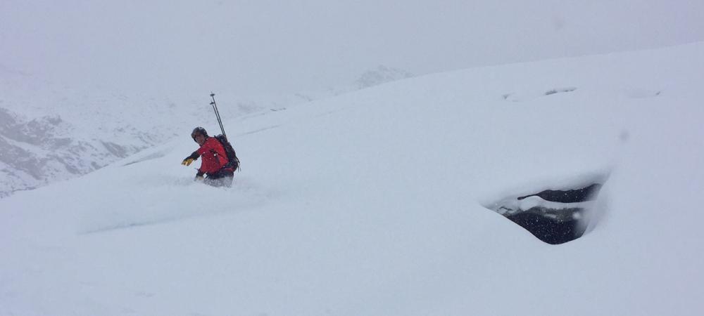
Glacier travel is now pretty challenging. A recent party reported that it took two hours to travel from Bow Hut to the Olive-St. Nick col due to painstaking travel through crevasses between St. Nick and Gordon. This past summer was hot and dry and glaciers lost most if not all of their snow to very high elevations. The resulting exposed crevasses are now lightly covered by insubstantial snow bridges. This is nothing surprising for October, but on a recent trip to the East side of Mount Columbia I was again amazed at what a smooth, featureless cover a mere 20 cm of new snow with wind creates over an otherwise rugged maze of crevasses.
The outlook for the weekend is sunny and clear weather in the Rockies, unsettled weather further West, and rain and snow in the coastal NW of BC. The long-range forecast suggests more storms creeping in from the Pacific with plenty of snow later next week on the west side of the Columbia, Coastal and the northern Rockies ranges – good news for those of us longing for ski season – but drying out, as they often do, by the time they hit the east side of the Rockies and my home here in Canmore.
Regards,
Tom Wolfe
Mountain Guide, ACMG/IFMGA