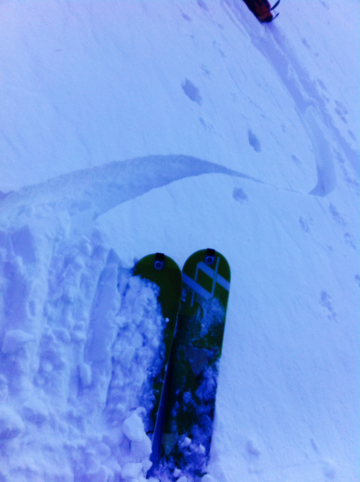
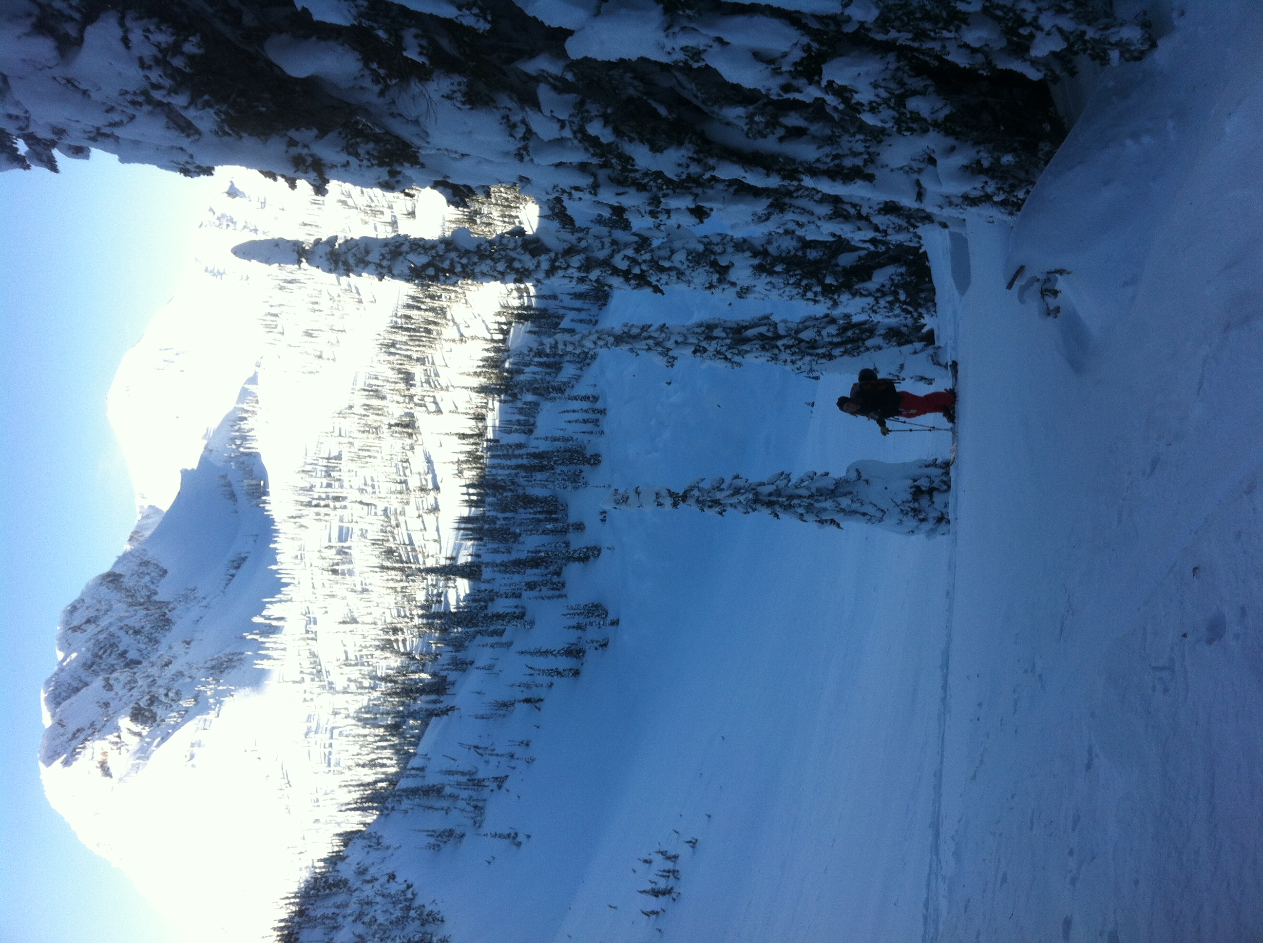
Did a quick day tour just outside of the FAR boundary. Ski conditions were poor due to a rain crust below 1700m and wind affect above that. Lots of reverse loading (from the NE) and cornice stripping from the high winds. A few wind slabs were easy to trigger where the little bit of available snow had been transported (see Photo). Mid and Lower snow pack is starting to feel a bit stronger with last weeks warm temps, activity and now the -20 overnight. The deeper layers could still wake up with more loading and a return of warm temps though.
On The Map
These observations and opinions are those of the person who submitted them. The ACMG and its members take no responsibility for errors, omissions, or lapses in continuity. Conditions differ greatly over time and space due to the variable nature of mountain weather and terrain. Application of this information provides no guarantee of increased safety. Do not use the Mountain Conditions Report as the sole factor in planning trips or making decisions in the field.


