Over the past two weeks, we’ve observed a drastic change in weather in the Valkyr Range. At 2200m the temperature has ranged from -17 to +3 degrees. During the week of January 30-February 6th we received 35cm of storm snow over the January 30th interface, which consists of facets, surface hoar and melt freeze crusts.
Initially that 35cm of storm snow was highly reactive to skier traffic on all aspects at tree line and below and produced ski cut avalanches to size 1.5 and natural avalanches to size 2.5 on lee slopes in the alpine. However in the subsequent week test profiles and ski cuts demonstrated limited reactivity on the January 30th interface—moderate to hard resistant planar and non-planar breaks on spotty 2-3mm surface hoar which for the most part was laying down and rounding.
One test profile at 2300m on an ESE aspect with an HS of 150cm produced an ECTP 26 result down 65cm in 3mm facets (rounding) above the December 4th MFcr.
Earlier this week, a light rain event created a 3mm MFcr on all aspects up to 2350m. This was followed by a 36hr period of strong to extreme WNW winds which scoured the alpine and affected all exposed areas at TL. Subsequently, the skies cleared and daytime temperatures reached positive values to mountain top.
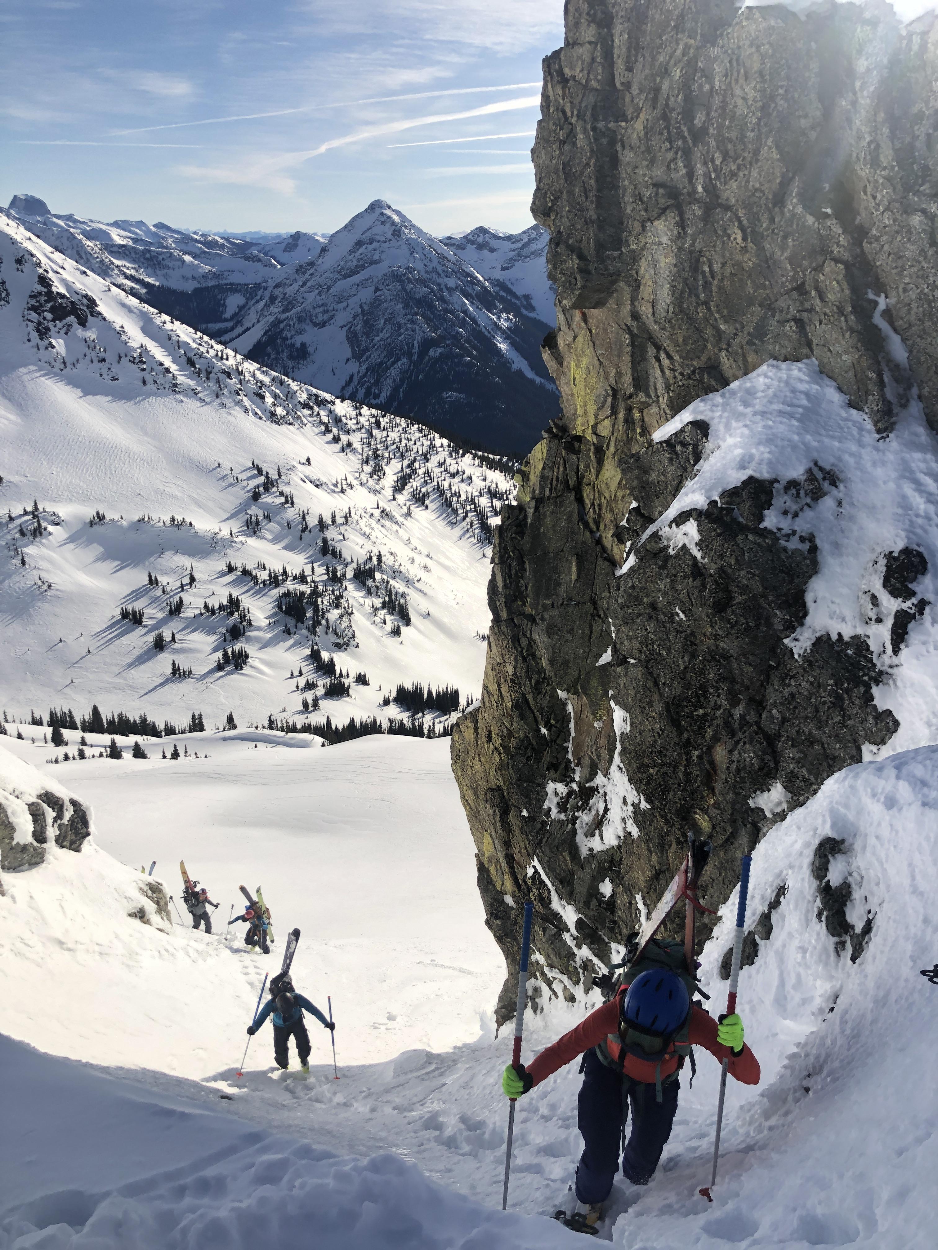
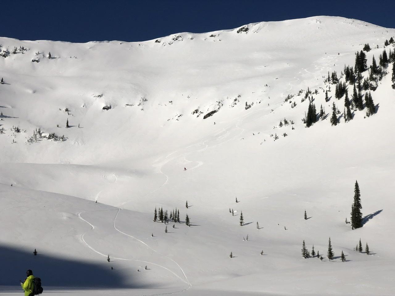
We found reasonable corn skiing conditions on solar aspects the past few days and firm travel conditions on north aspects. Ski crampons are currently a highly useful piece of backcountry travel equipment.