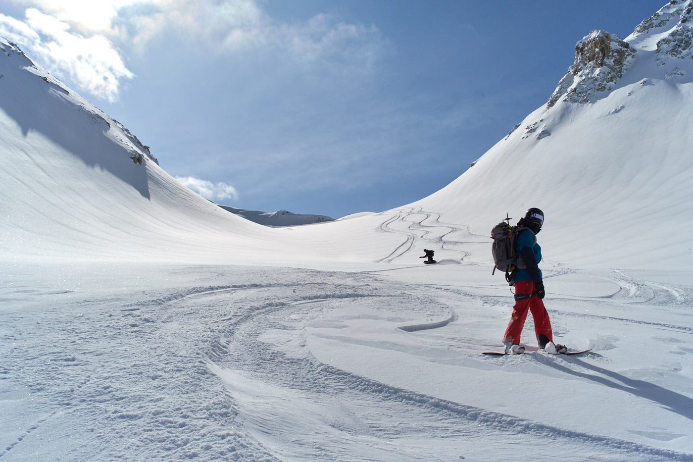
I just finished a week of heli-assisted ski touring/splitboarding in Svaneti, Georgian Caucasus.
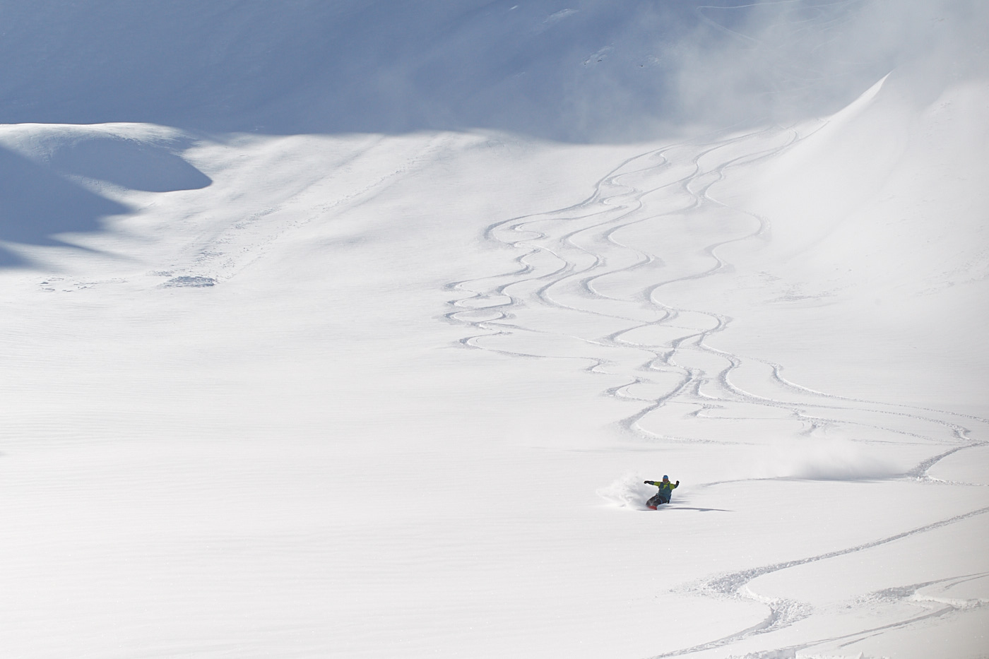
We skied mostly in the alpine over 2700 m on north facing aspects. On 10 and 11 March we skied on Chaaladi glacier and in the Laila range to 3200 m. Stability on north aspects over ca. 2600 m was good, with no notable weak layers and a gradual increase in density with snow depth. Skiing quality was excellent.
All other aspects had seen sun, with variable effect ranging from sun crust to moist and wet snow in lower elevations. Chaaladi glacier itself has good coverage with more than 3m of snow. The exit is skiable to the bottom with no problems.
Over the week, unsettled weather, precipitation, winds and warm temperatures changed things. On 12 March we flew to Chaaladi again and I observed around 30 cm of new snow overnight and CTEs (RP & BRK) down 30 and 60cm in recent storm snow. Later in the day, many natural wet slides were visible on east, south and west aspects with start zones up to 2200-2300 m.
March 13 was cloudy and obscured, with rain in Mestia and snow in higher elevations.
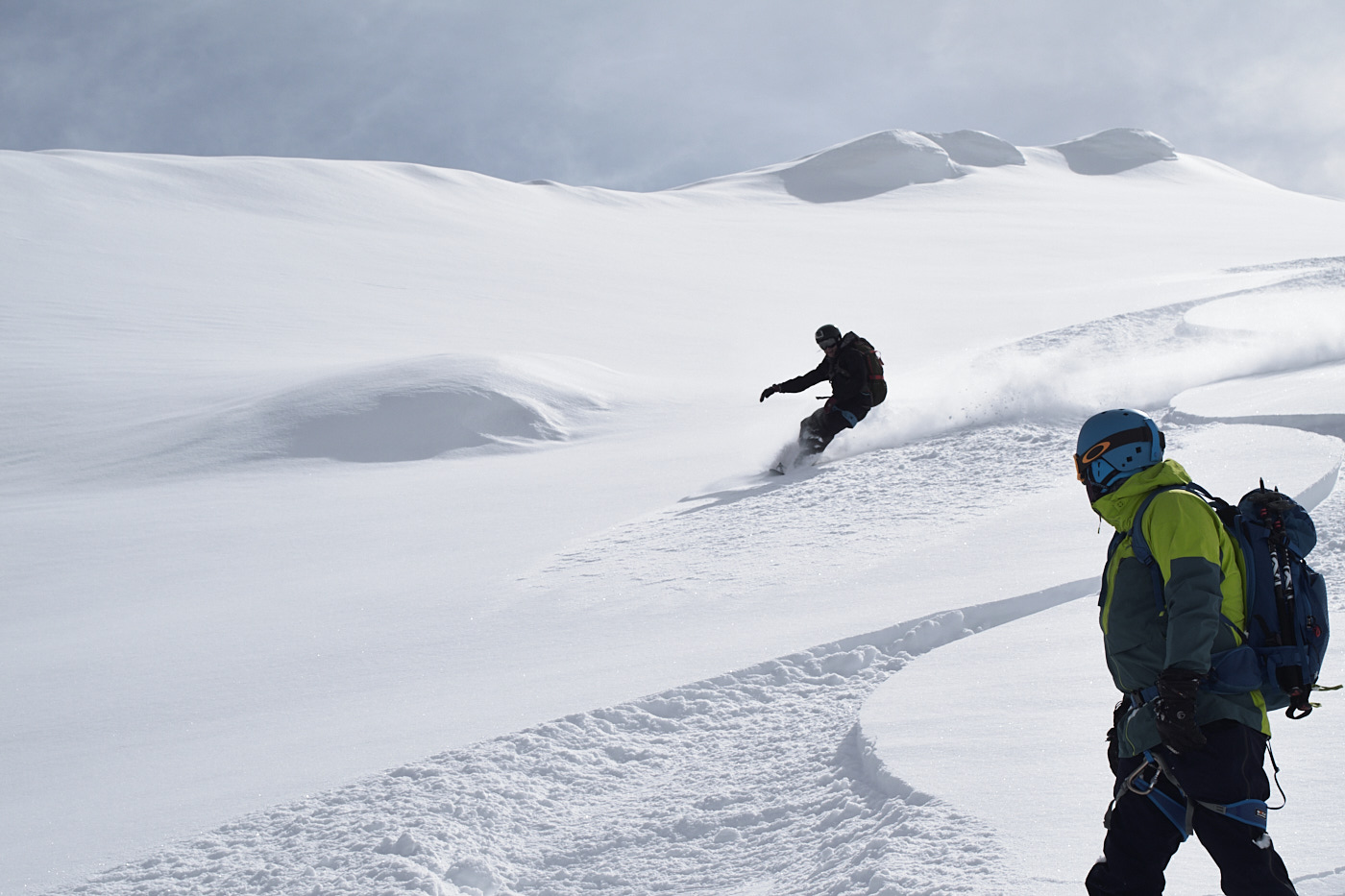
On 14 March we flew to Tetnuldi area. From the air, wide-spread wind-effect was visible from westerly winds. Ski-cutting a convex 35° slope at 3450m, W aspect, 35°, produced a size 2 in 20 cm storm snow sitting on sun crust. A concave, west-facing bowl on the ridge above the resort showed a much more solid snowpack with no notable weaknesses in test profile. Eastern slopes looked suspicious with signs of wind-slap.
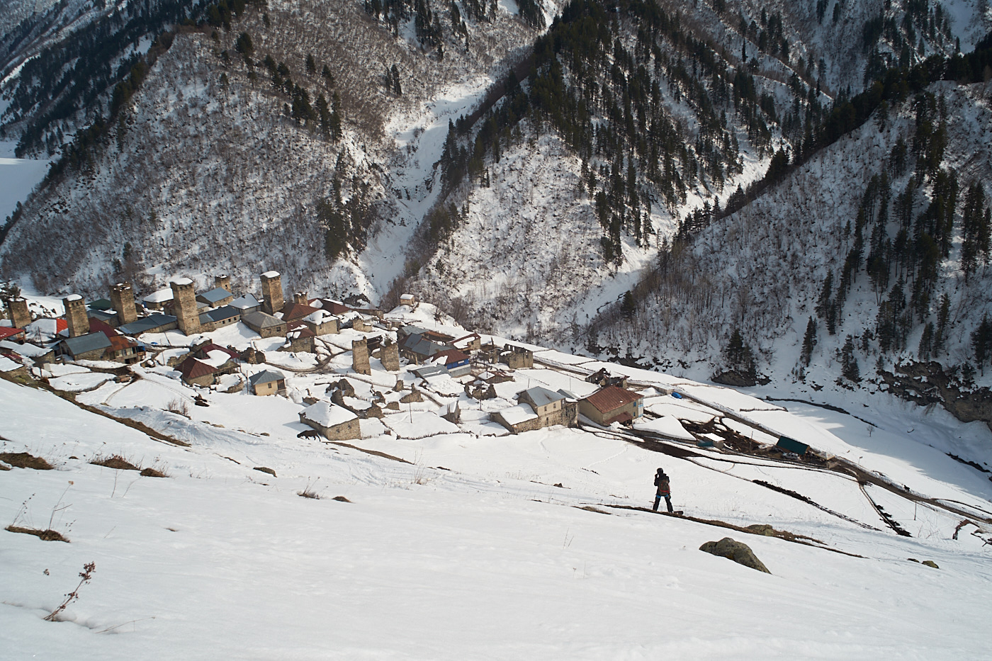
In the afternoon, we skied mellow SW slopes down to Adishi village. “Whumpfing” on SW-S-SE aspects was notable, and probing revealed a thick layer of bottom facets over a sun crust. Snow became rotten below 2400m (south aspect). Another guiding operation observed a remote-triggered avalanche size 2.5 on high (3000m+) north aspect, on a (likely) localized thin facet layer, 120cm down.
15 March we spend in the Tetnuldi ski resort. The previous afternoon and night it had rained way up to 2500 m or more (turning into snow during the night above 2500 m), adding load to a now very variable snowpack and creating a rotten snowpack on all aspects in lower elevations. Another guided group on Gul ridge (SW aspect) noted many “whumps” and a facetted, hollow bottom layer that day.
On 15 March we rated the hazard level at “3” (ALP). During the next two days (17 & 18 March) we will see some cooling (2°C in Mestia) and new snow in the mountains (with S-SW winds), falling on an already variable snowpack.