Strathcona Provincial Park, Elk River Trail - May 28, 2017
Vancouver Island, British Columbia

May 29, 2017
We day hiked 18 km on the Elk River Trail in Strathcona Provincial Park. Our main objective was to check snow levels since Derek’s last report (May 8) on the same zone.
Grid references: WGS84
Weather: Sunny, dry, warm day. High temperature 25ºC. Low temperature 15ºC. Winds calm. Pressure 1019 hPa.
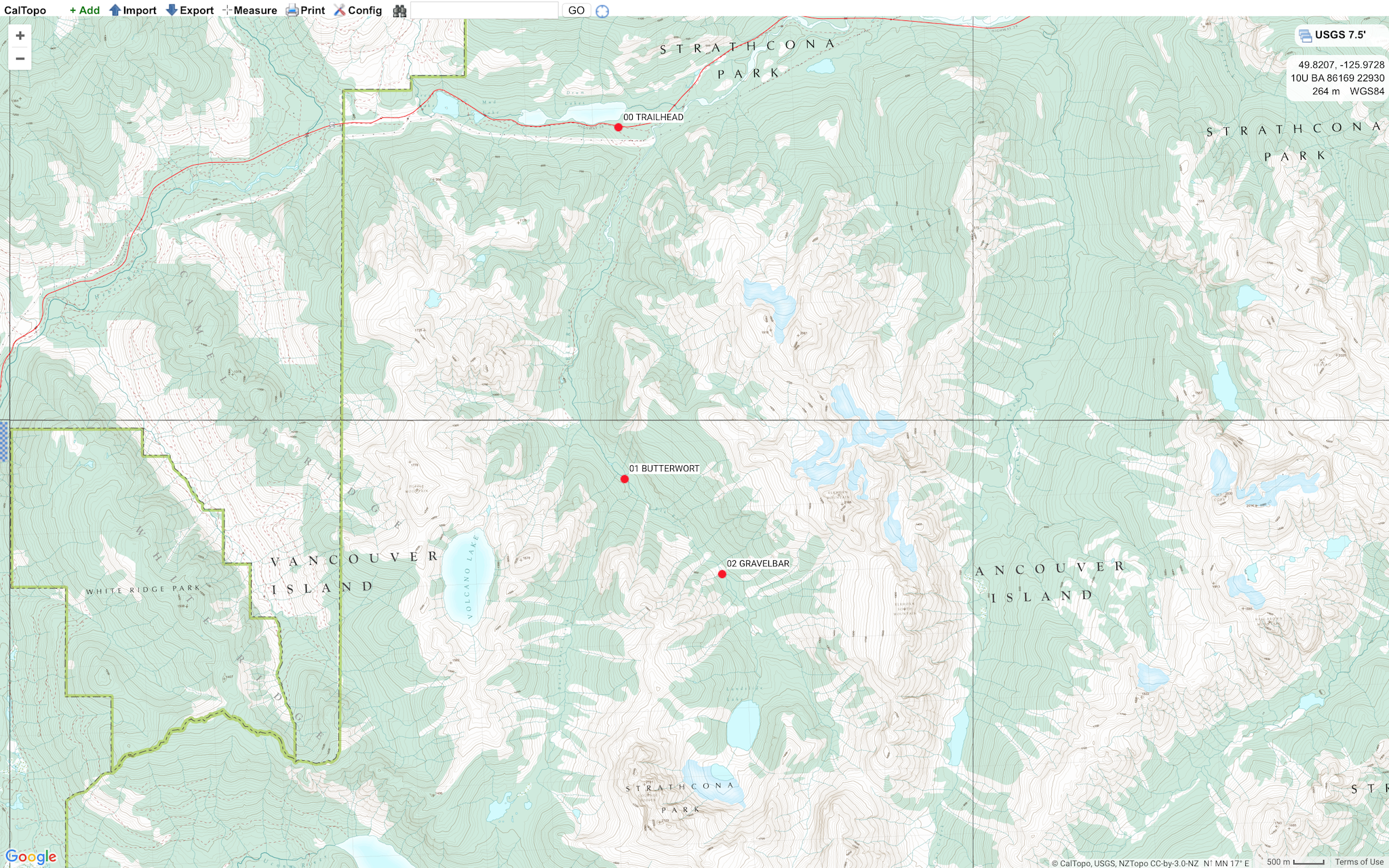
Route: Started at Elk River Trailhead, 320 m GR 933247. Hiked 9 km to Upper Gravel Bar, 650 m GR 946180. Returned 9 km to finish at Elk River Trailhead, 320 m GR 933247.
Wildlife: Elk and rodent sign. Lots of angry squirrels.
Notes: There were approximately 12 blowdowns between the trailhead and 9 km. Few creek crossings with some slippery rocks and logs to balance on. None caused too much hardship. A hiking pole was helpful.
We encountered patchy isothermal snow 9 km up the trail at Upper Gravel Bar, 650 m GR 946180. Another couple of weeks of hot weather and this route will be dry and good to go the final 2 km to Landslide Lake, 890 m GR 950161.
The Elk River Trail is a spectacular valley-bottom hike through thick stands of temperate old-growth rainforest. The 11 km route to Landslide Lake, 890 m GR 950161, is one of the more popular trails in Strathcona Park. Landslide Lake sits at the bottom of 2135 m Mount Colonel Foster. The Colonel’s impressive 1000 m northeast face is a famous Vancouver Island alpine climbing zone. There are designated backcountry sites in the Elk River Trail Fee Collection Area (Butterwort Flats, 6 km GR 932194 and Upper Gravel Bar, 9 km GR 946180). There is no camping available at Landslide Lake. Backcountry camping fees are collected June 15 to September 30. $10 per person/night (ages 16+) and $5 per child/night (ages 6-15). Permits can be purchased online via BC Parks website. There is an iron ranger to drop permit fees at the trailhead. There are no reservations available. The Elk River Trail, with it’s modest 600 m elevation gain over 11 km, is an excellent day trip for the efficient hiker, or an ideal overnighter for novice backpackers.
Mike Blake, HG