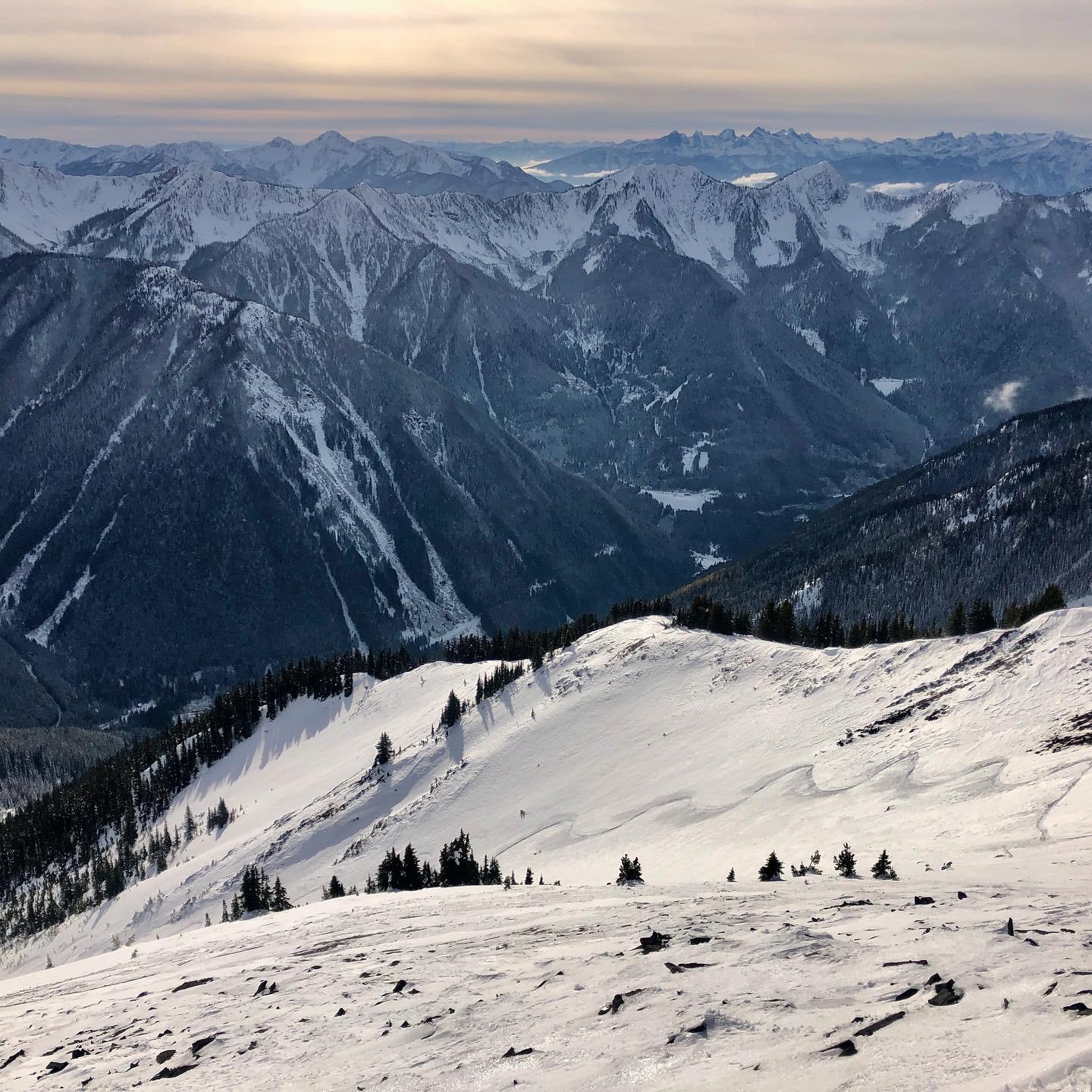
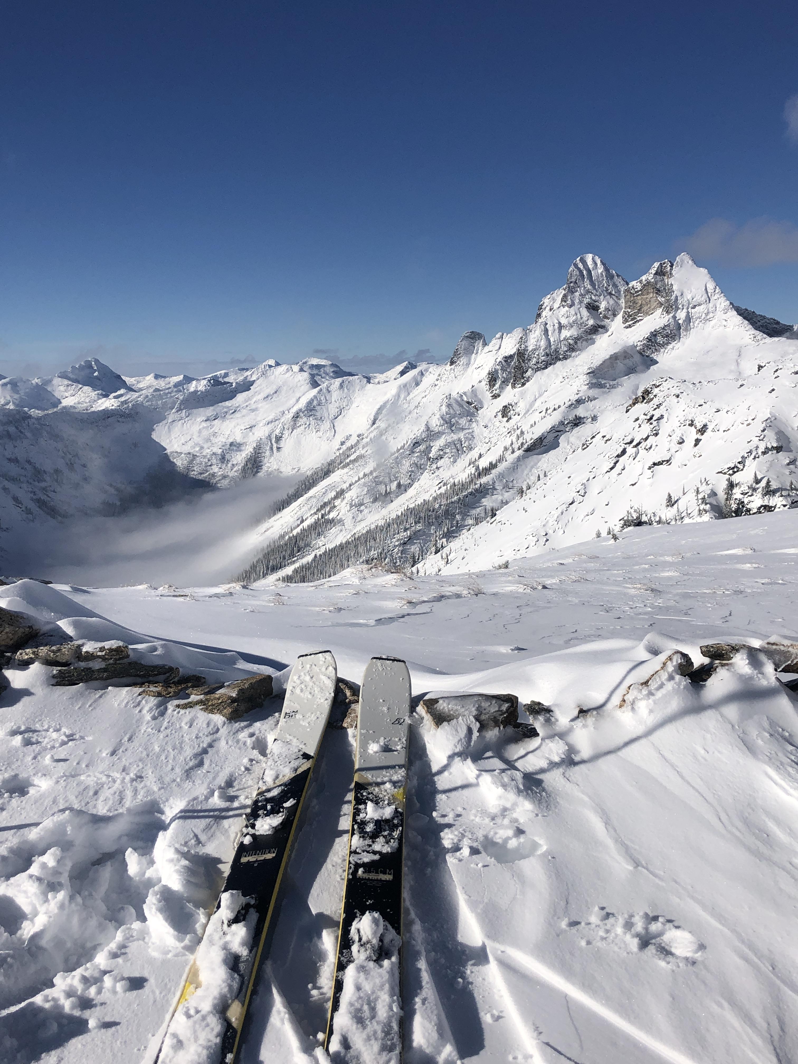
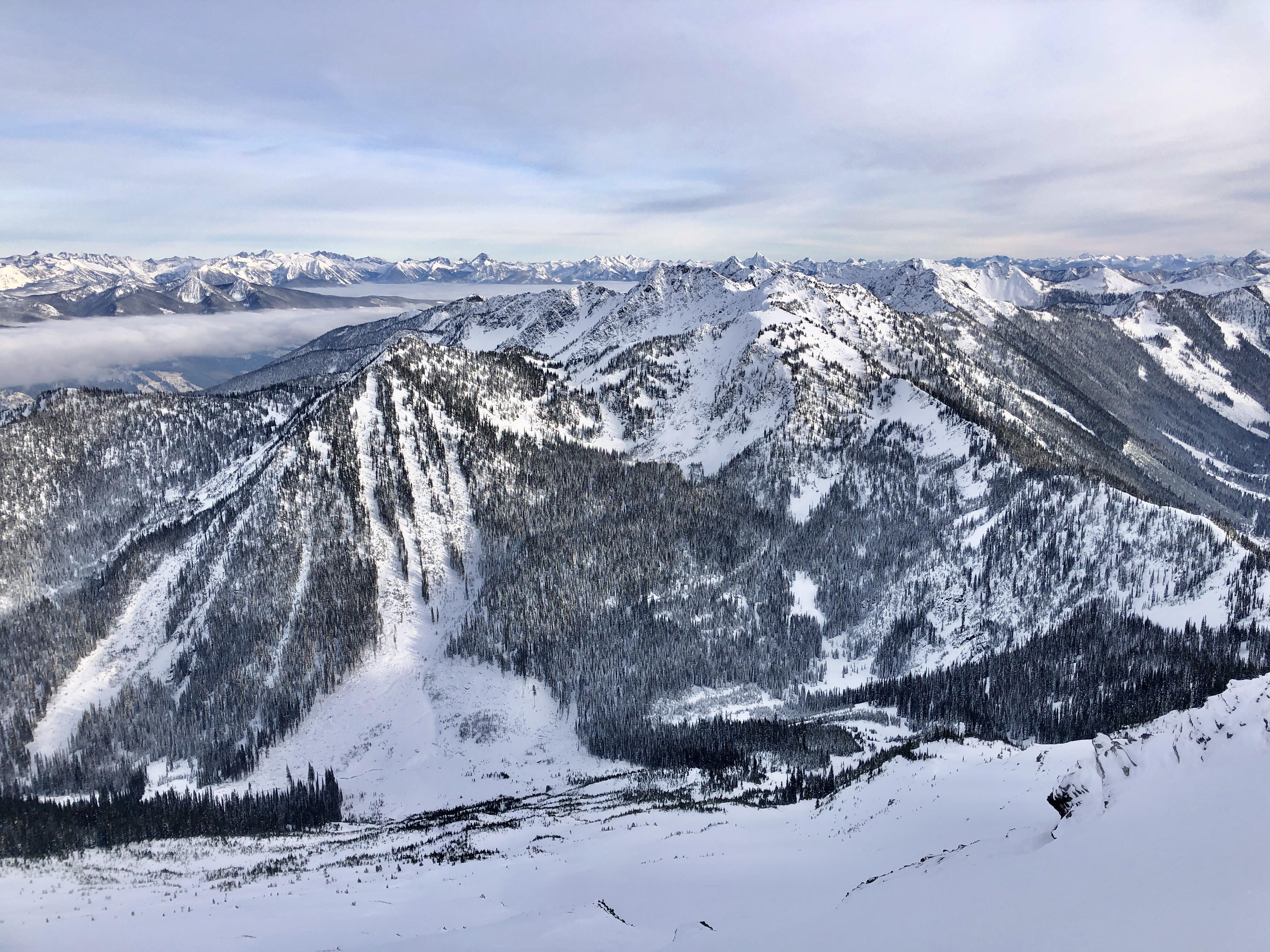
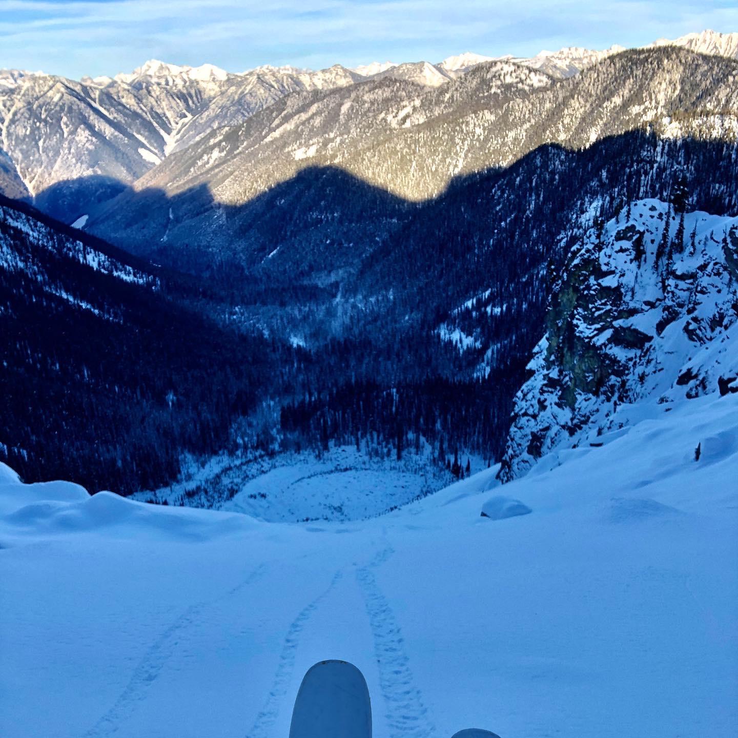
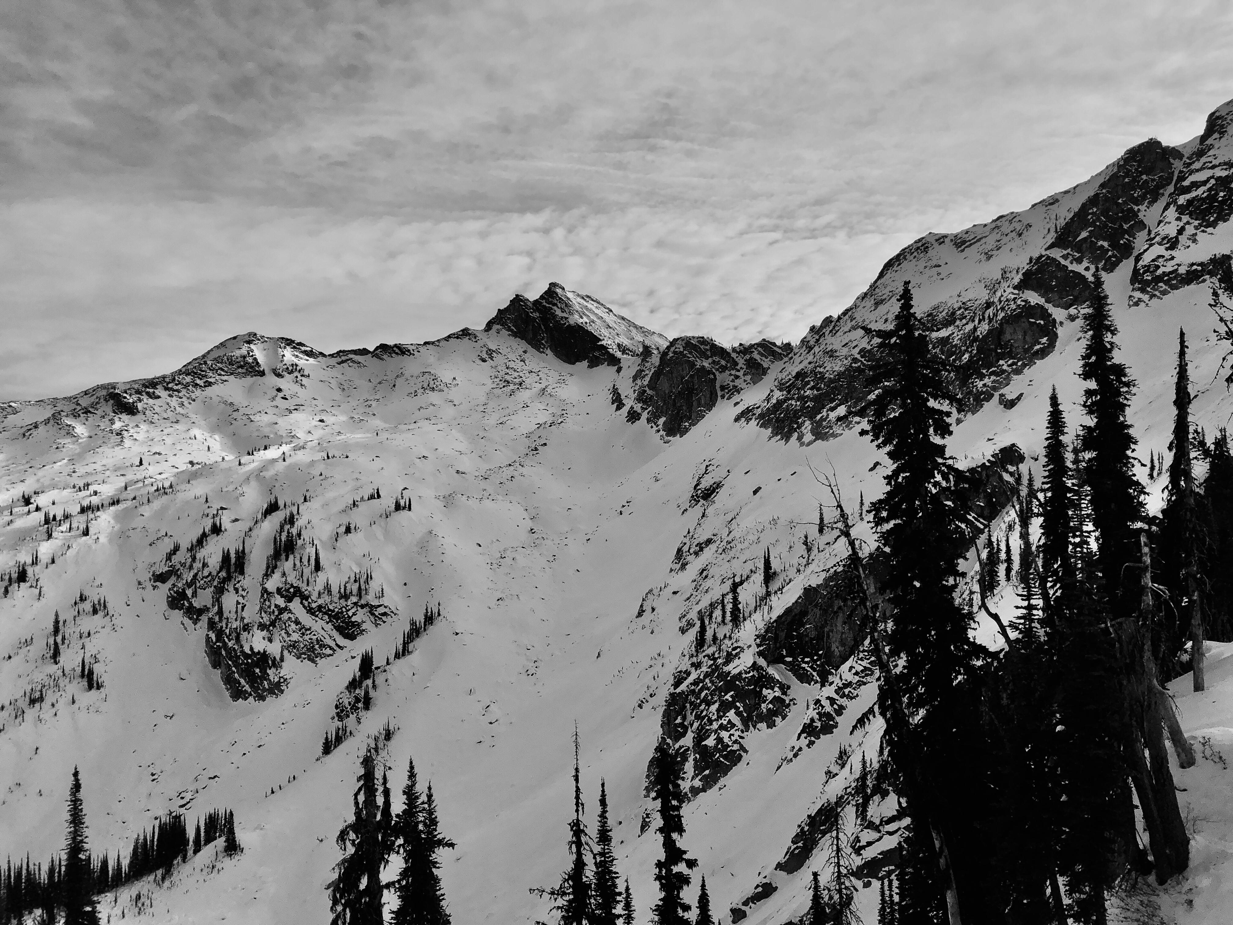
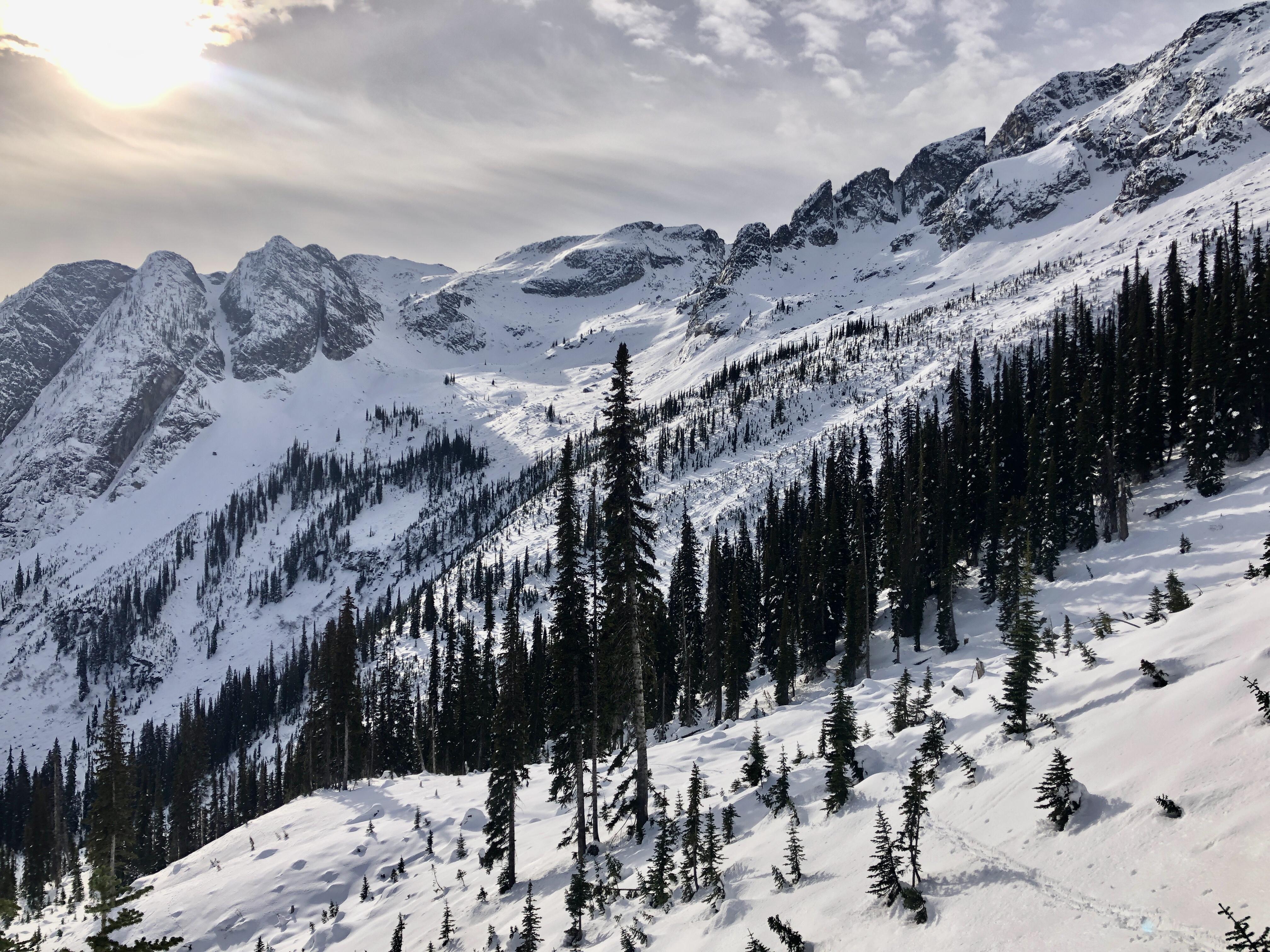
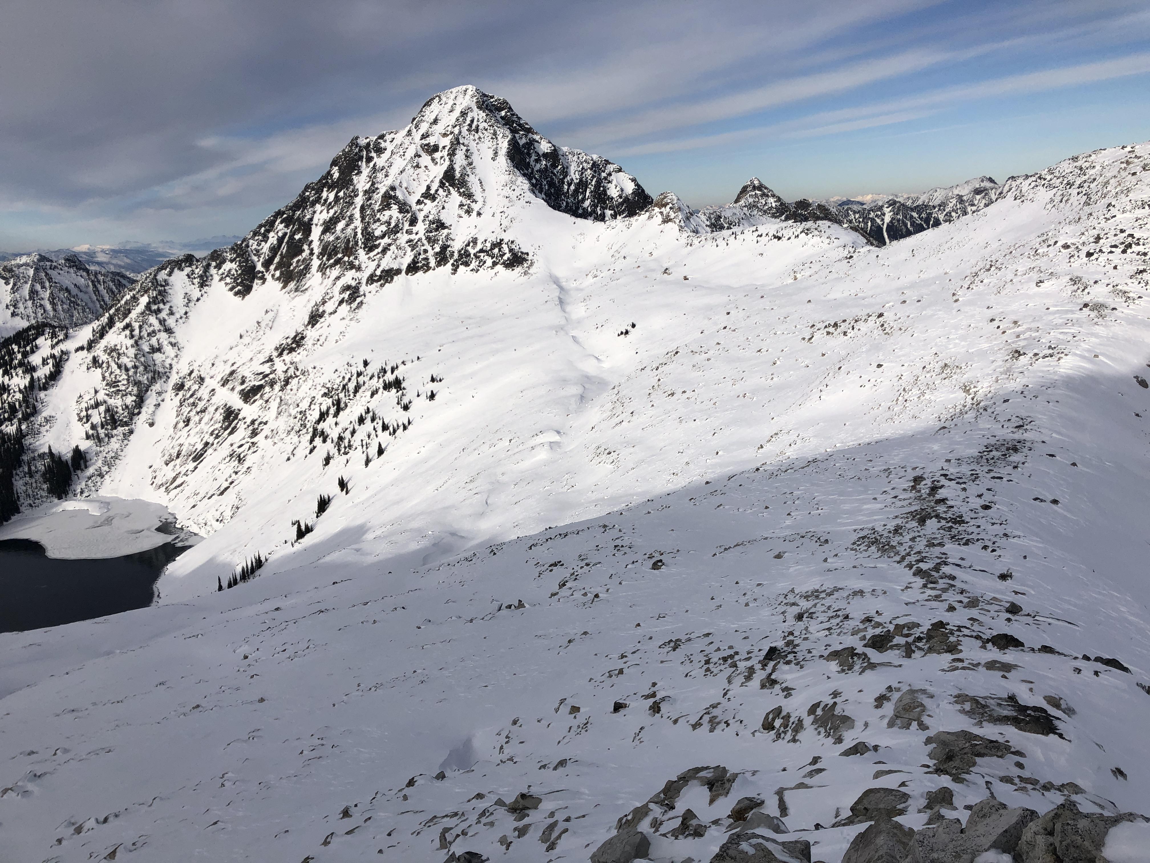
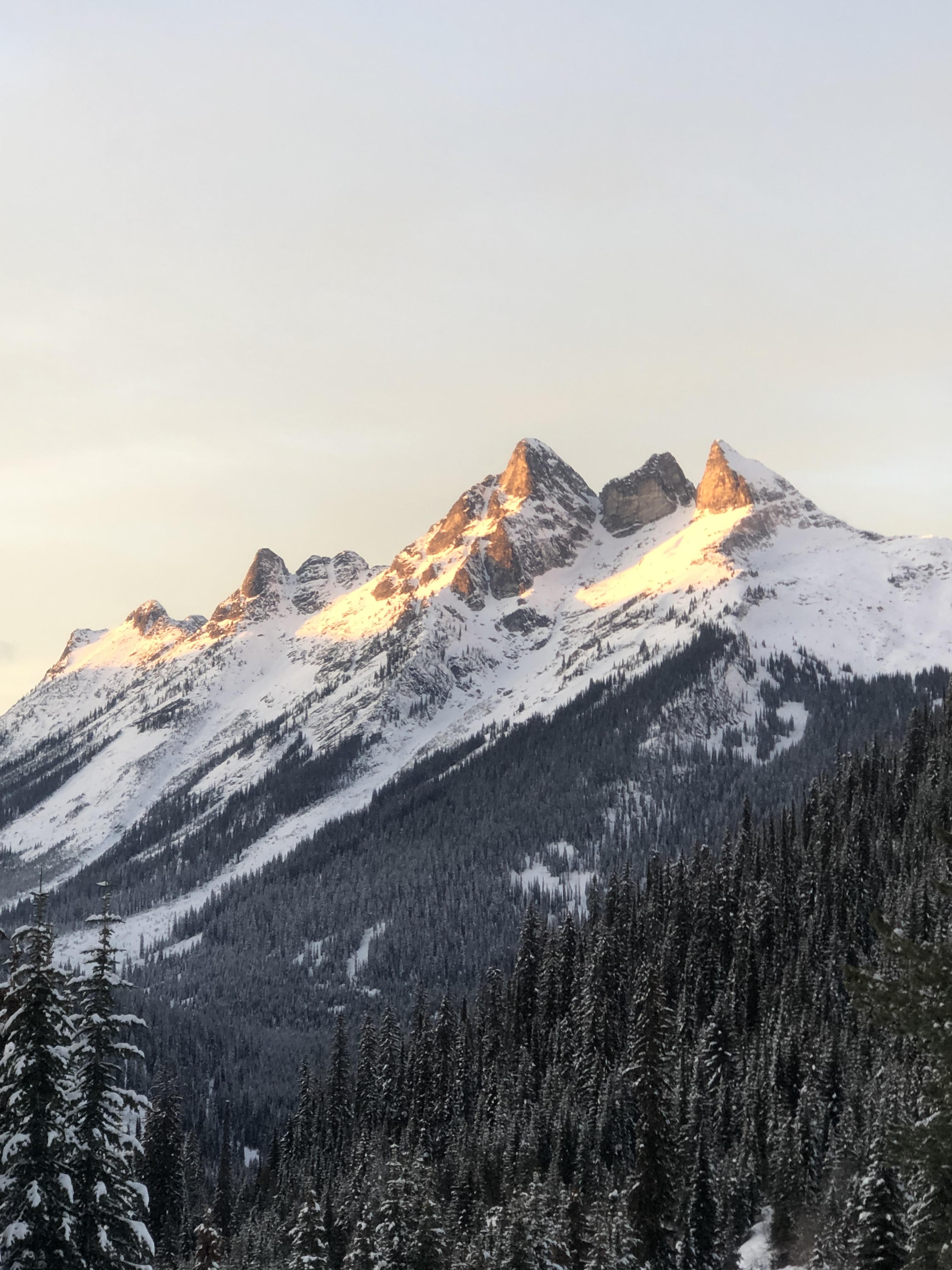
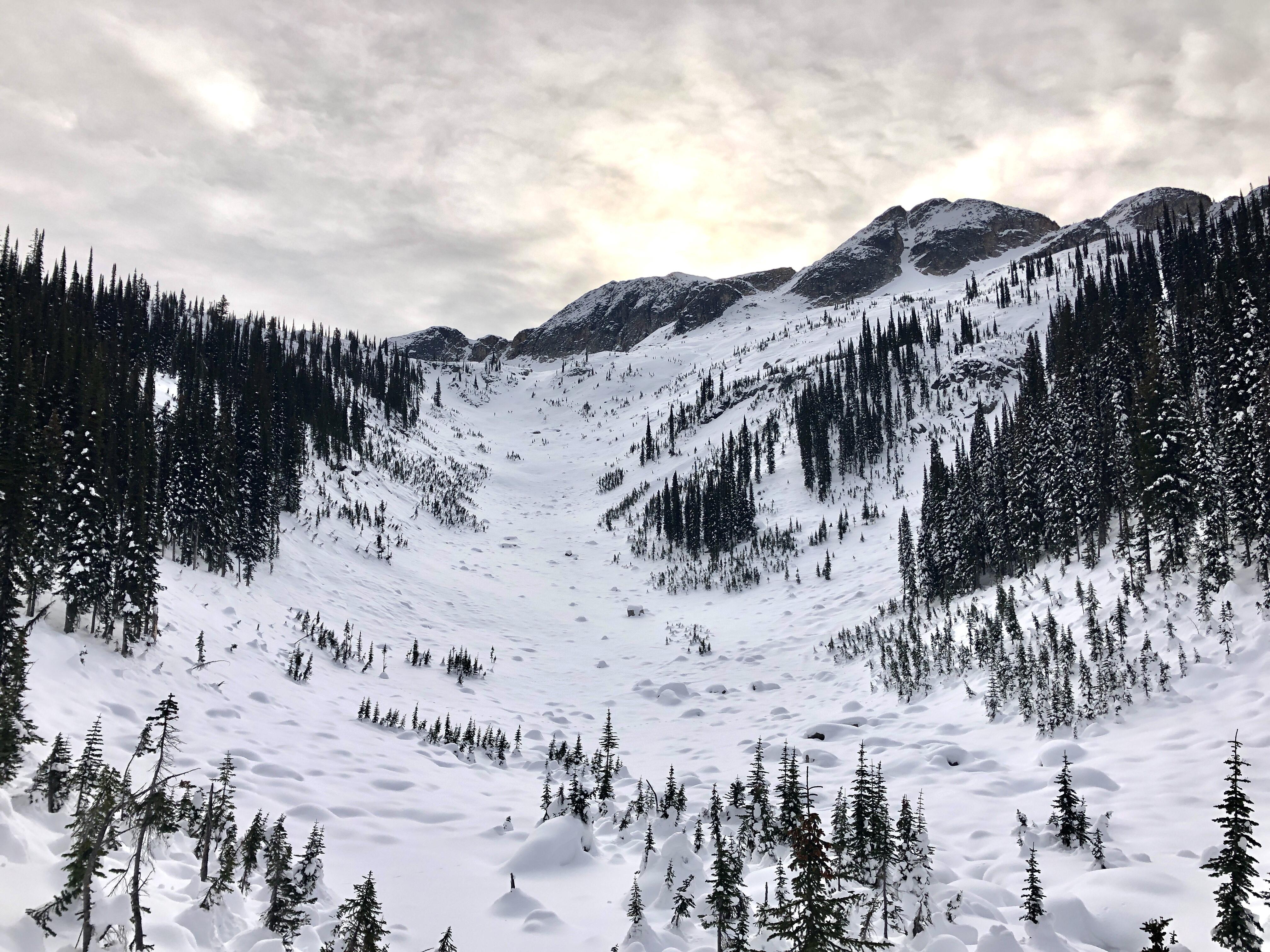
I’d like to share some terrain photos and a snowpack summary from the Central Kootenays from November to help paint a better picture of what the lower part of the snowpack looks like.
For good reason, it seemed like there weren’t many people out skiing in the Kootenays during that time period; the cover was thin and early season hazards were plentiful. Below 1600m the snowpack was below threshold.
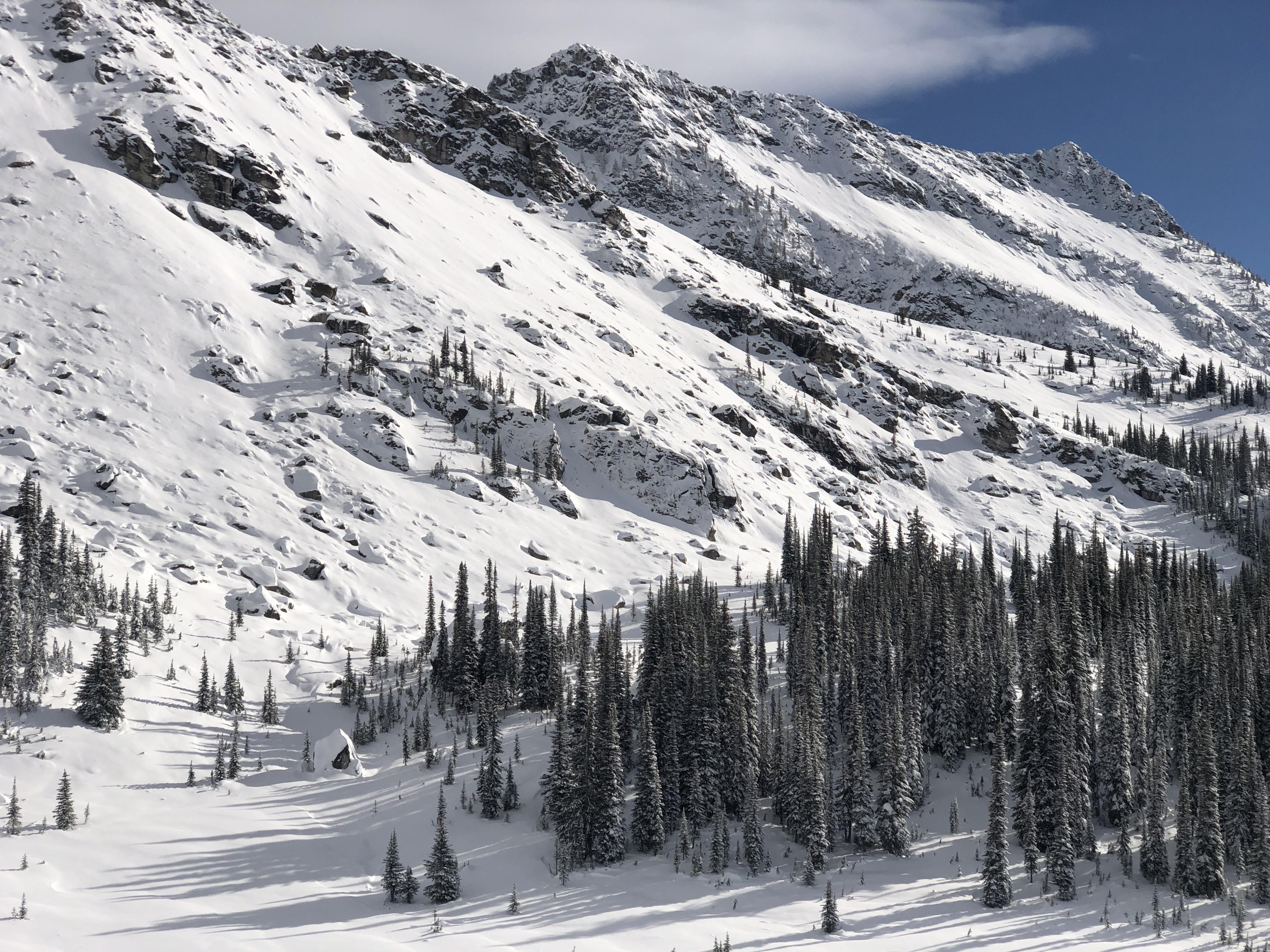
However, in the alpine and at treeline the height of snow exceeded the surface roughness in most start zones. There was a well preserved ice form rain crust 30 cm above the ground with pronounced facets above and below it above 1800m in most of the drainages I skied. The typical height of snow ranged from 40cm to 100cm in most alpine and treeline start zones. By November 21 the entire snowpack was faceted except for the aforementioned crust. It’s resistance ranged from fist to one finger minus in sheltered areas and in exposed areas ~5-10cm of pencil hard slab capped those facets. On steep solar aspects there were some melt freeze crusts mixed in, just to add a bit more spice.
In sheltered areas below 2000m, there are three layers of surface hoar and on solar aspects some of that surface hoar sat on a melt freeze crust.
What I am trying to convey is the foundation of our current snowpack is rather unsavoury. I hope these photos and snowpack summary may help you in your backcountry pursuits this winter.