We flew into Selkirk Lodge for a week on the 27th of December. 40cm of warm wet snow had fallen on top of a frigid and shallow snowpack as the moist pacific air left the region as we arrived.
Throughout the week we had 5-15cm refills most nights with the new snow settling to 40-60cm at the end of the week. There was little to no wind throughout the week. The new snow sits on the the layer of most concern at the moment which is the Dec. 17/21st facet interface.
At treeline, the mid and lower snowpack is highly facetted. Average height of snow was 180cm. Thin and rocky areas are of great concern where the faceting of the snowpack is much more evident. We gave these areas a wide berth throughout the week.
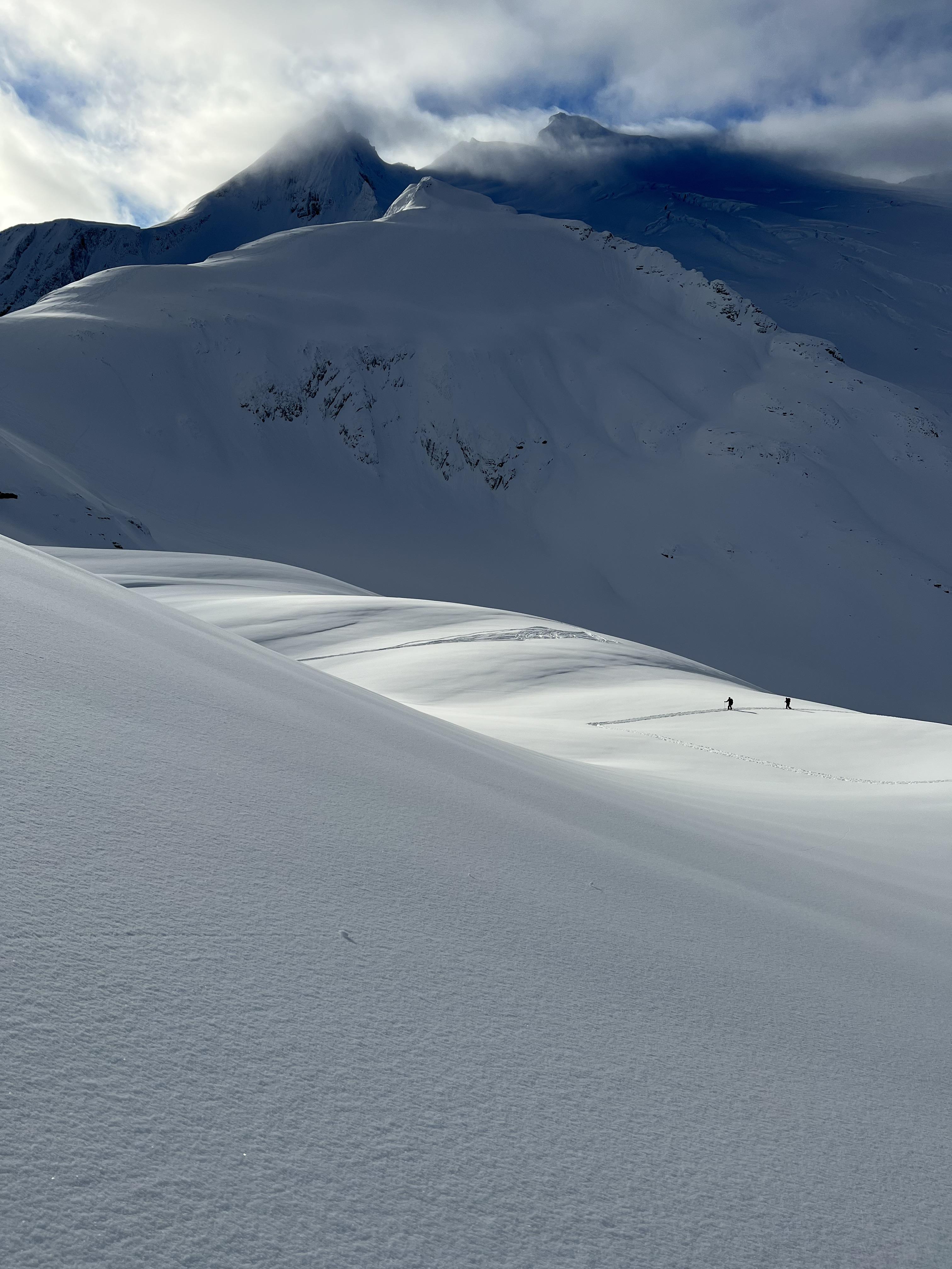
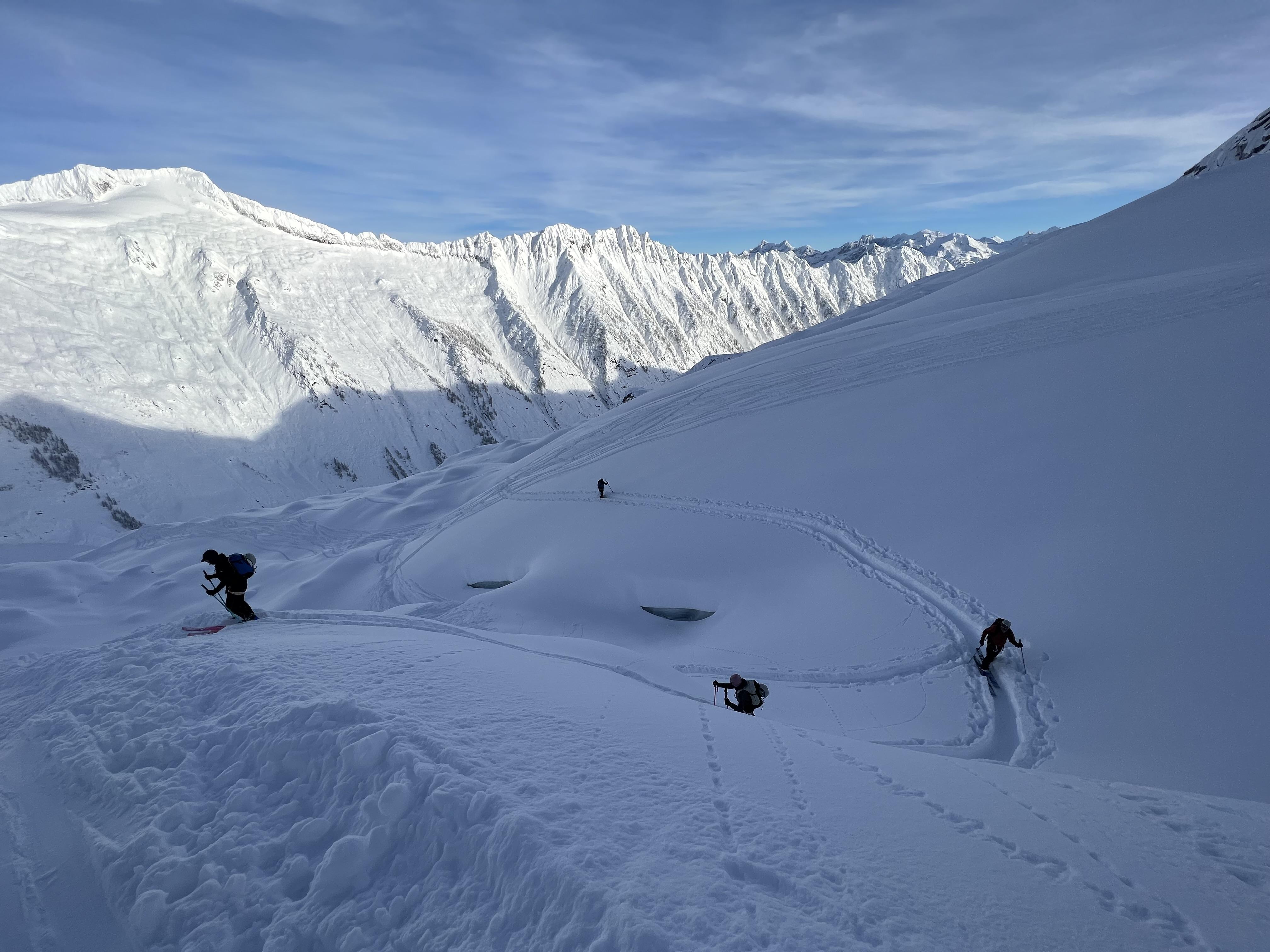
In the alpine on high north facing and lee terrain the snowpack is up to 260cm deep. The snowpack gains resistance progressively and we got little snowpack test results. The glaciers in the alpine are still quite open and there are many sags on most glaciers.
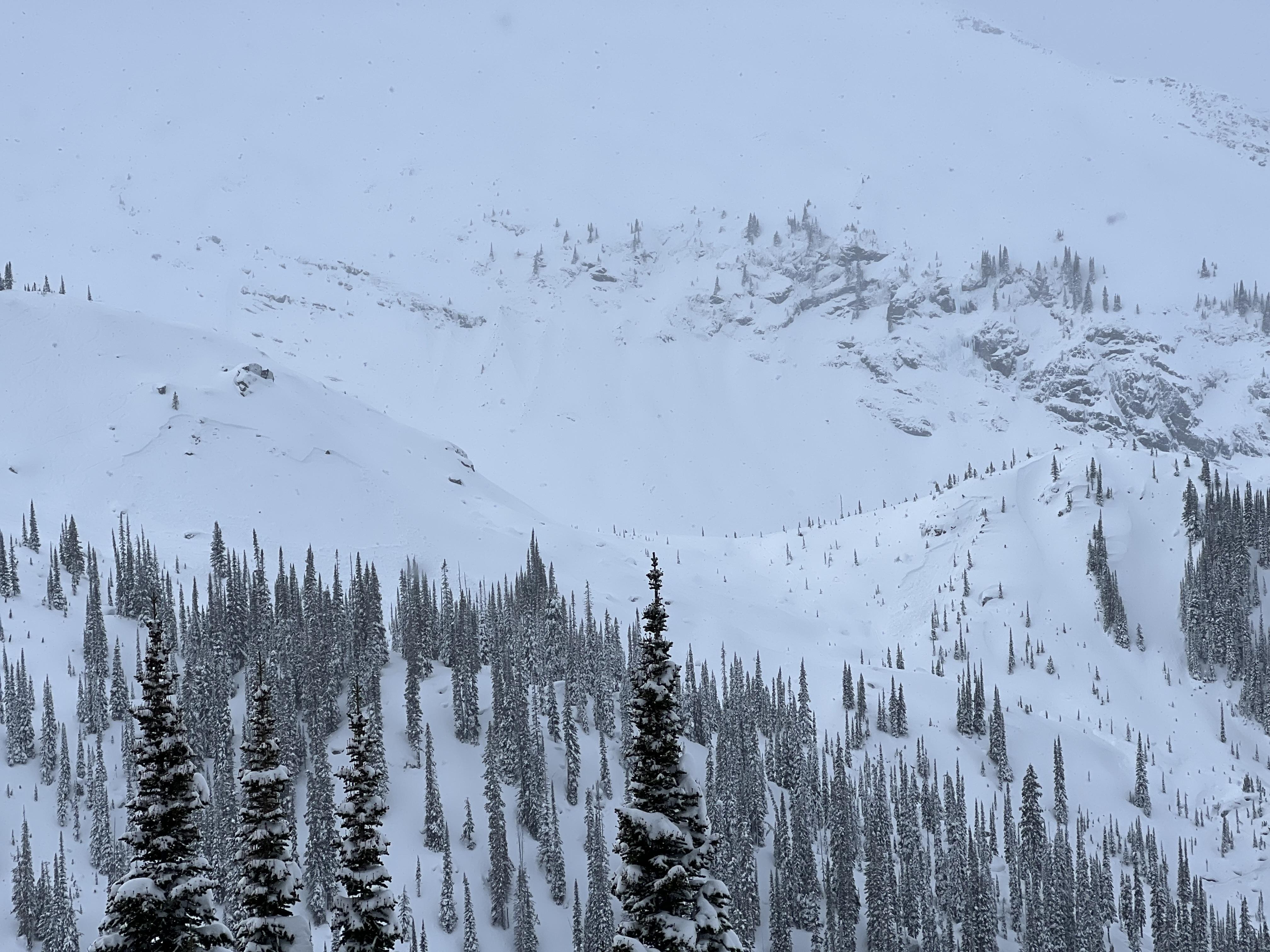
There was a widespread natural avalanche cycle in the surrounding mountains throughout the storm. Avalanches up to sz 2.5 were observed, most of which came out of extreme and rocky terrain. With the clear skies some loose dry avalanches to sz 2 were observed on steep solar aspects. We skied small and supported terrain with low consequence due to the PWL's.
In the new year the clouds began to clear as a classic Selkirk inversion brought low cloud into the valley's. The clear calm skies have begun to grow surface hoar at treeline and sheltered areas in the alpine which could be a new layer of concern when the next storm arrives.
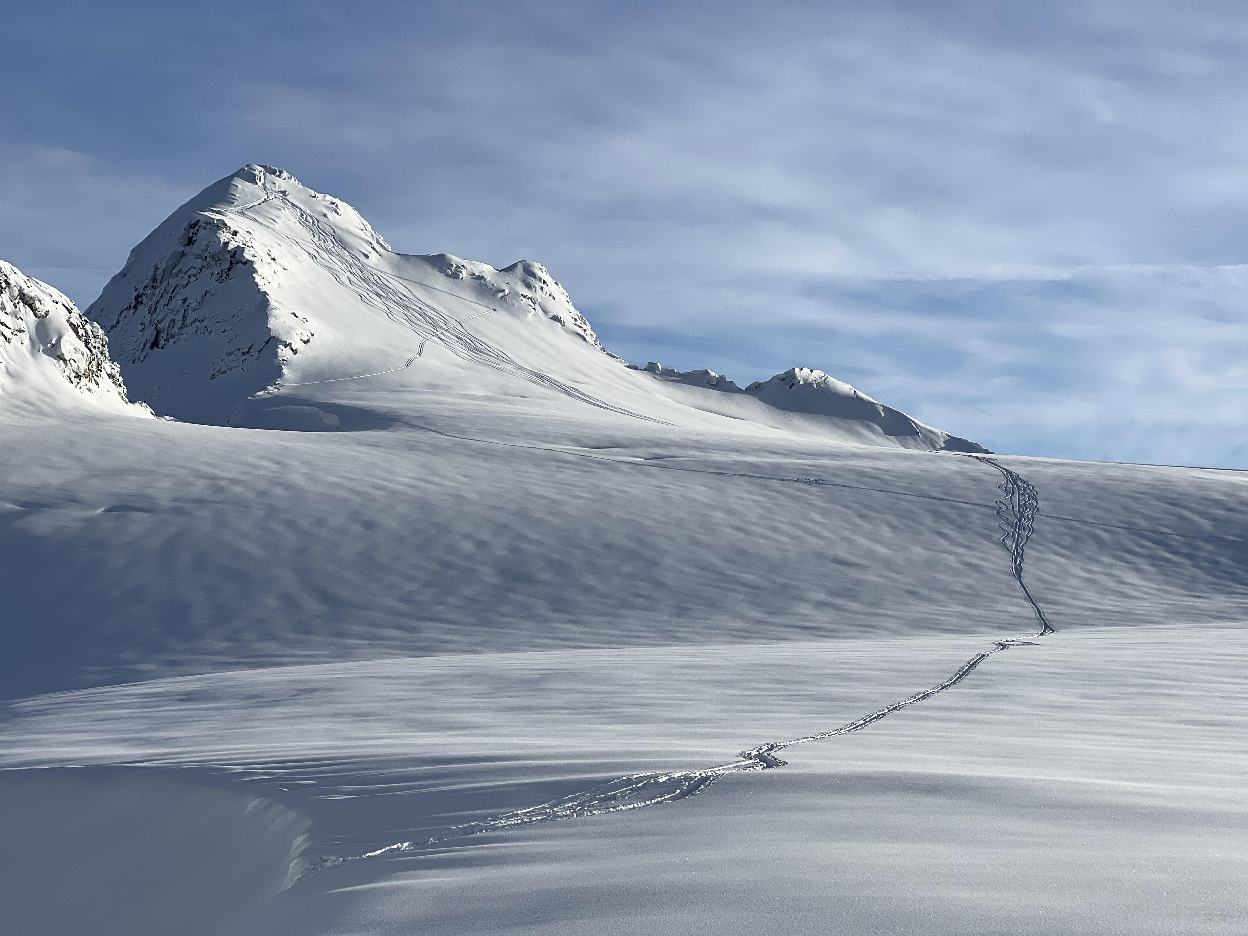
Overall the skiing was exceptional and the new snow offered great low density powder skiing. With the reactivity of the new snow on the Dec. 17/21 PWL, we stuck to terrain with low consequences. With some large avalanches continuing to occur in the Selkirks, its a good time to tone down our terrain choices and stick to small features with little consequence.
Dave Ellison and Evan Stevens