I had the pleasure of spending the last three nights (June 27-30) based out of the Little Yoho Valley Hut.
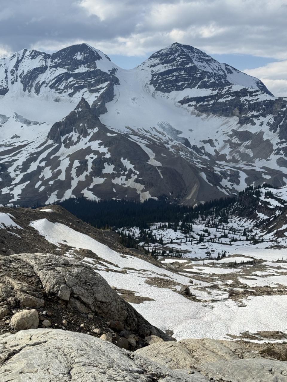
Our group made ascents of Mt. President and Mt. McArthur. We also travelled to Emerald Pass where we observed a large natural rockfall that originated from the SE Face of Mt. Marpole sometime this spring.
Travel conditions ranged from optimal to sub-optimal, based on elevation. There is over 280cm of snow at 2800m on both the McArthur and President Pass glaciers. The snowpack above this elevation started out moist and turned rain saturated on the night of the 28th as the area received likely 25mm of rain to local mountain top. It was easy to trigger loose wet avalanches on the east slopes below the summit of Mt. McArthur on the 29th. These occurred on slopes over 35 degrees. In addition there was several recent cornice releases, all in the size 1.5 to 2 range.
Below 2700m the glacier snowpack diminishes down to 160cm and further down to 40cm at 2550m. Bare ice is becoming exposed where the terrain is the steepest.
On the 28th we observed that the snow bridge spanning the bergschrund on the Presidents Glacier had partially collapsed within the last week. We passed it on climbers right of the collapse, but this terrain has likely already changed and will continue to evolve to be problematic. There are still sizeable cornices at the col and ridge above. Travel on the ridge to the President was challenging with weak snow and ice lenses at the intersection of the snow and rock.
Word from the hiking crowd is that the Iceline trail is snowbound. On a positive note, the YNP trail crew cut the standard approach to the Little Yoho Valley up to the Celeste Lake Connector. Past that, there are still several large down trees that need to be negotiated; otherwise, the trail is snow free.
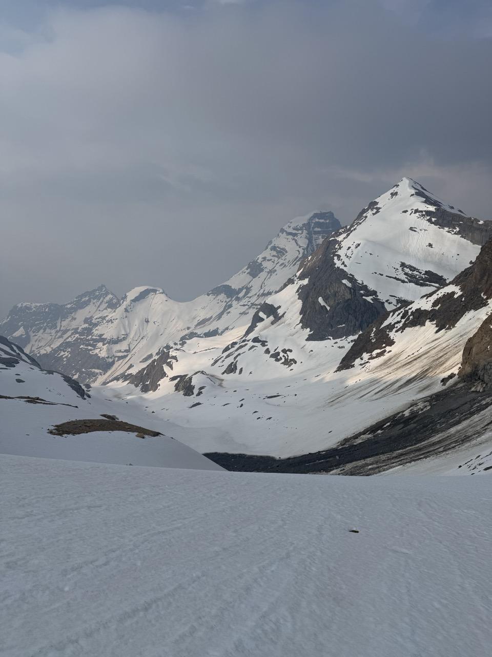
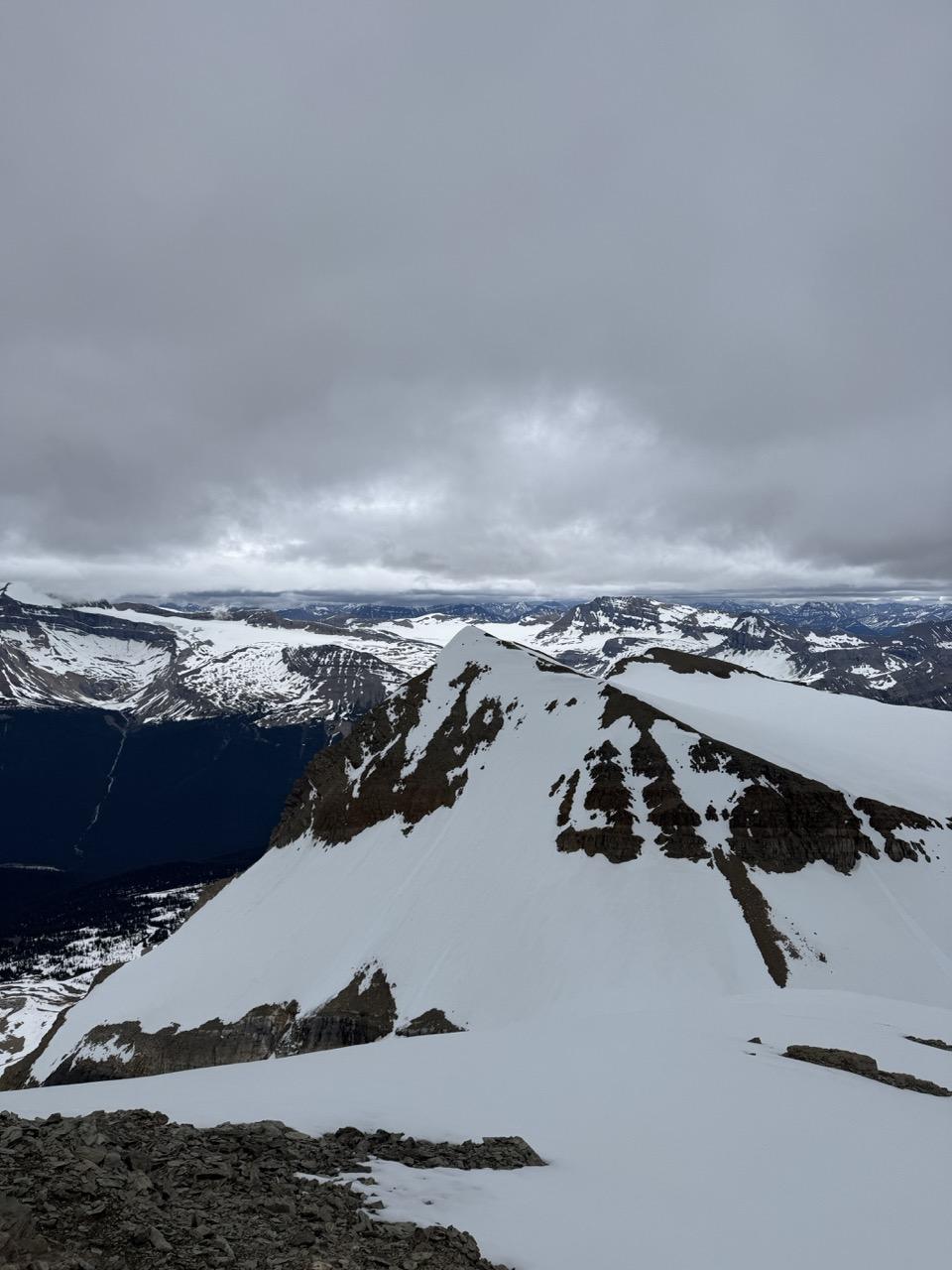
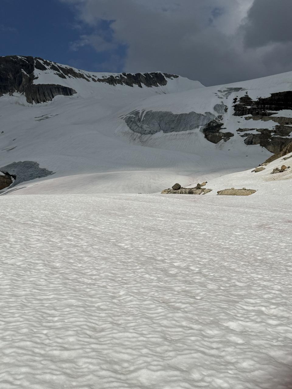
Picture 1. The Presidents, 2. Vice President West Ridge, 3. Rockfall, Marpole South Face, 4. Mt. McArthur Glacier.
Darek Glowacki
ACMG/IFMGA Mountain Guide