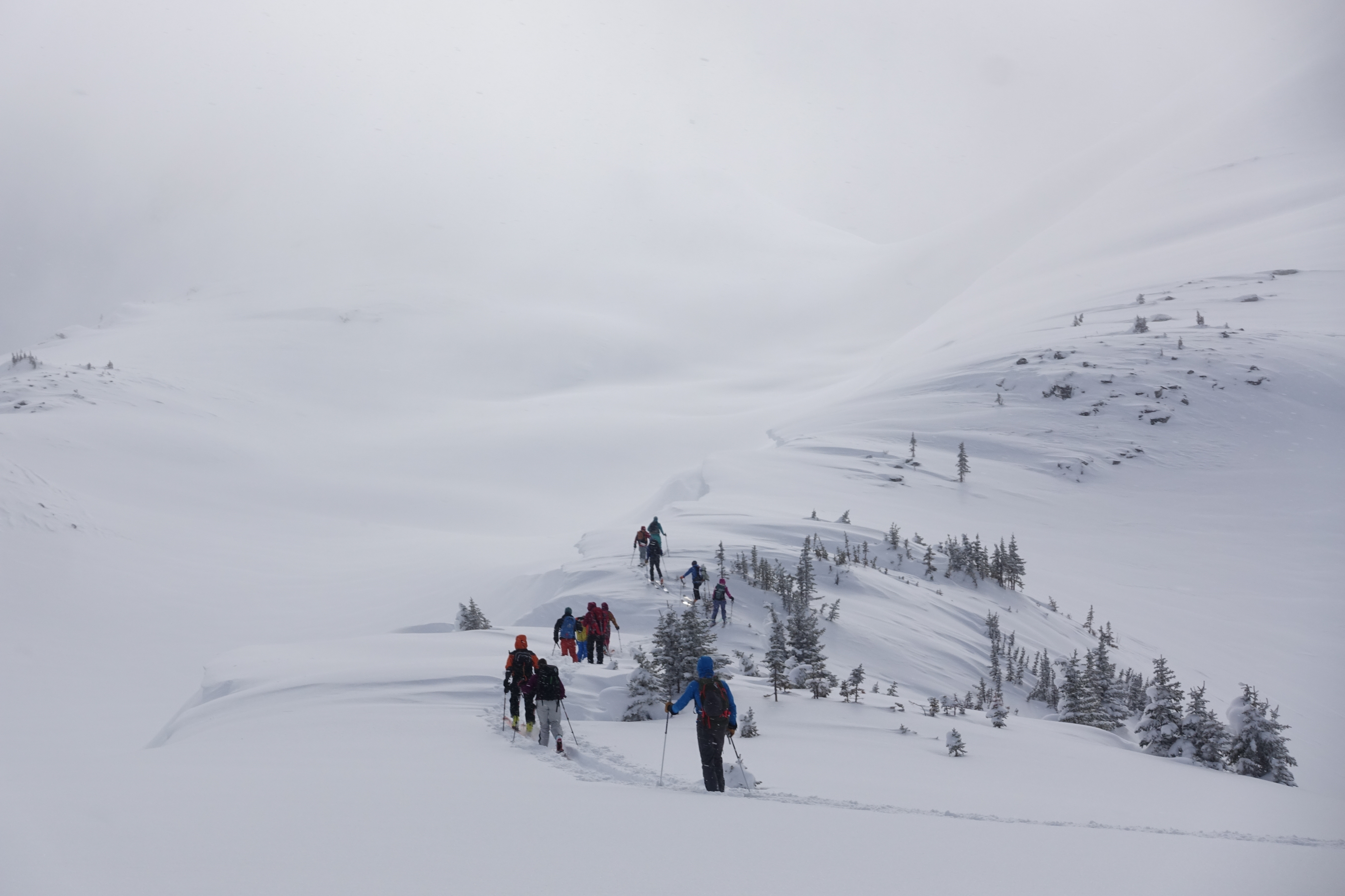
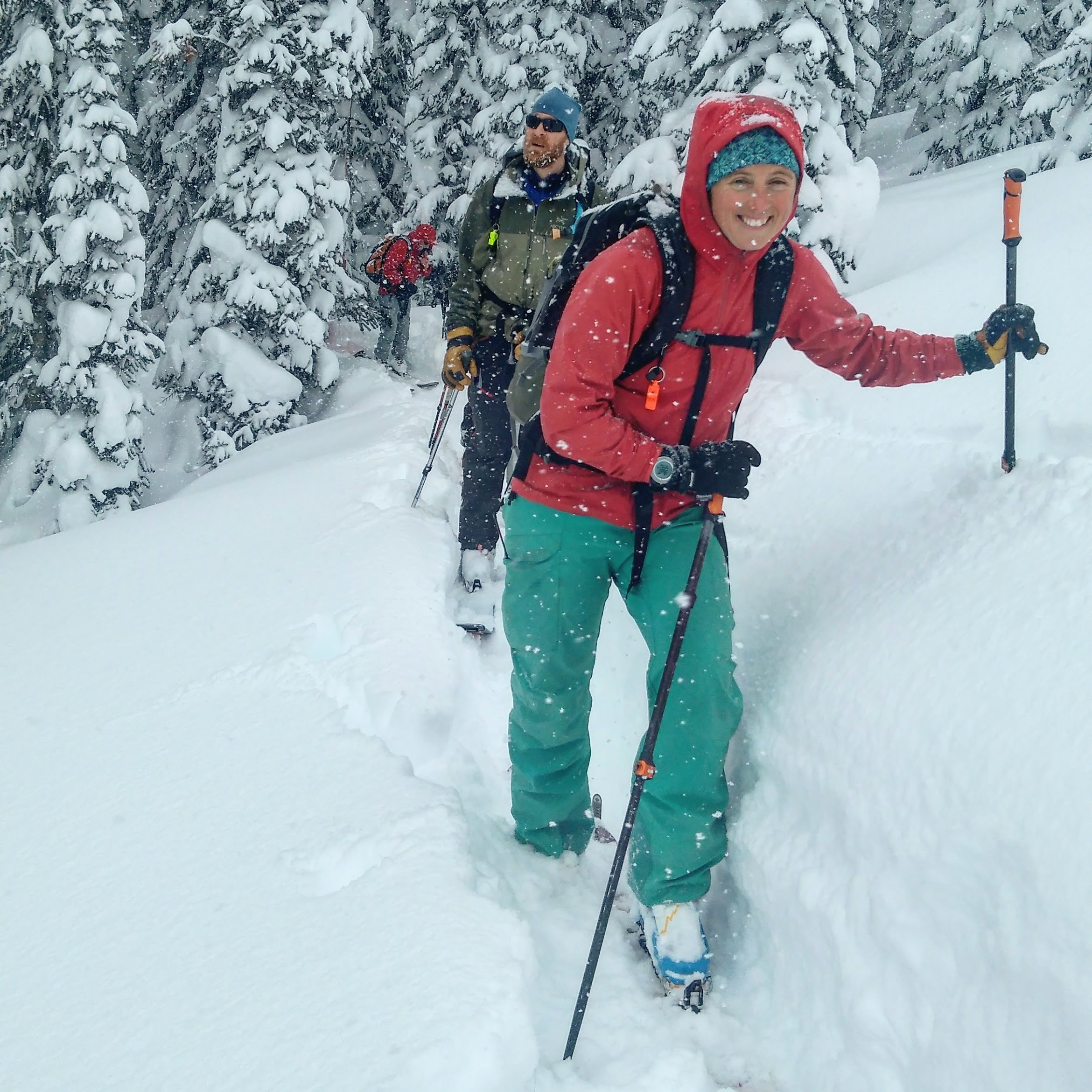
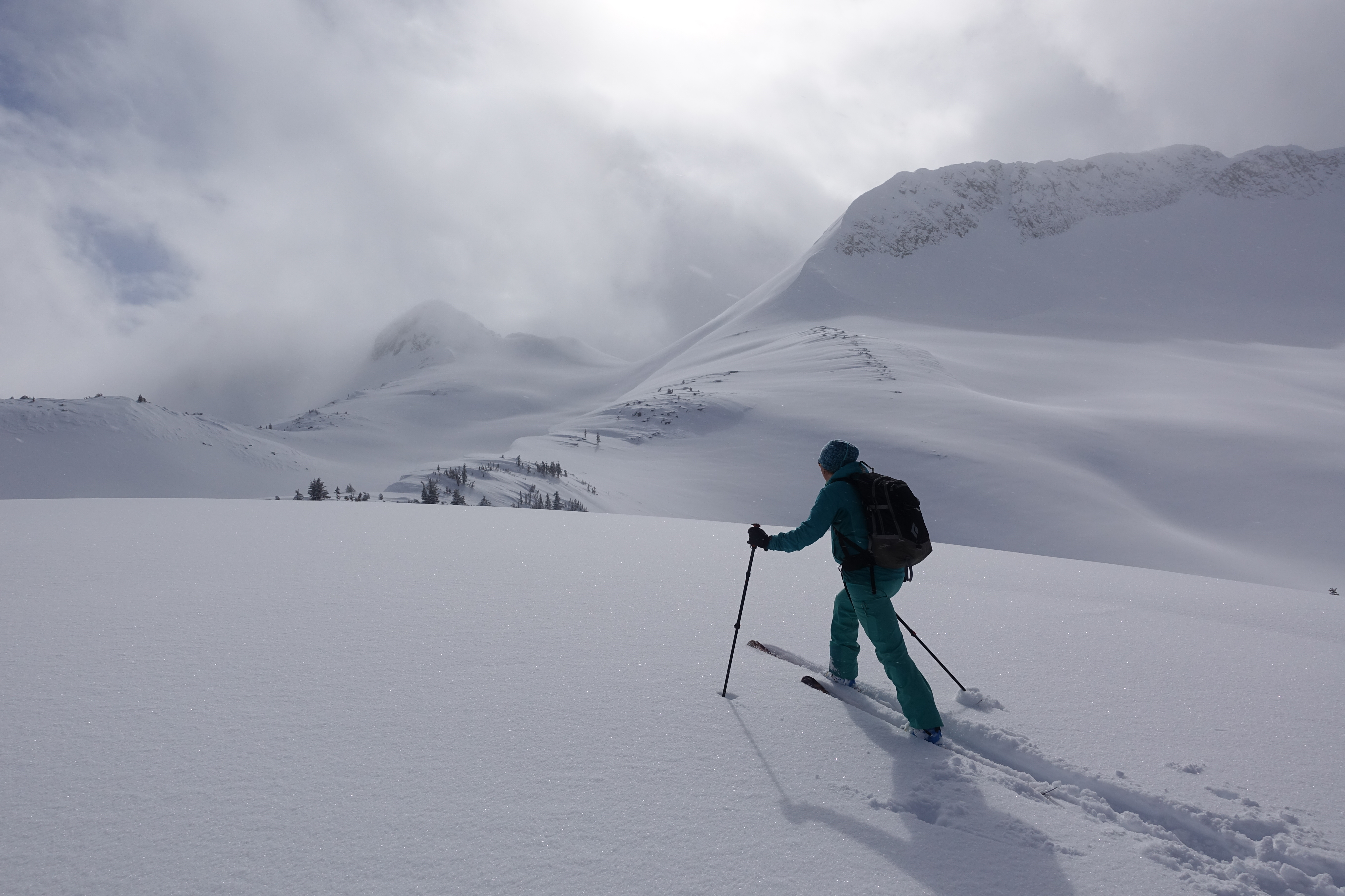
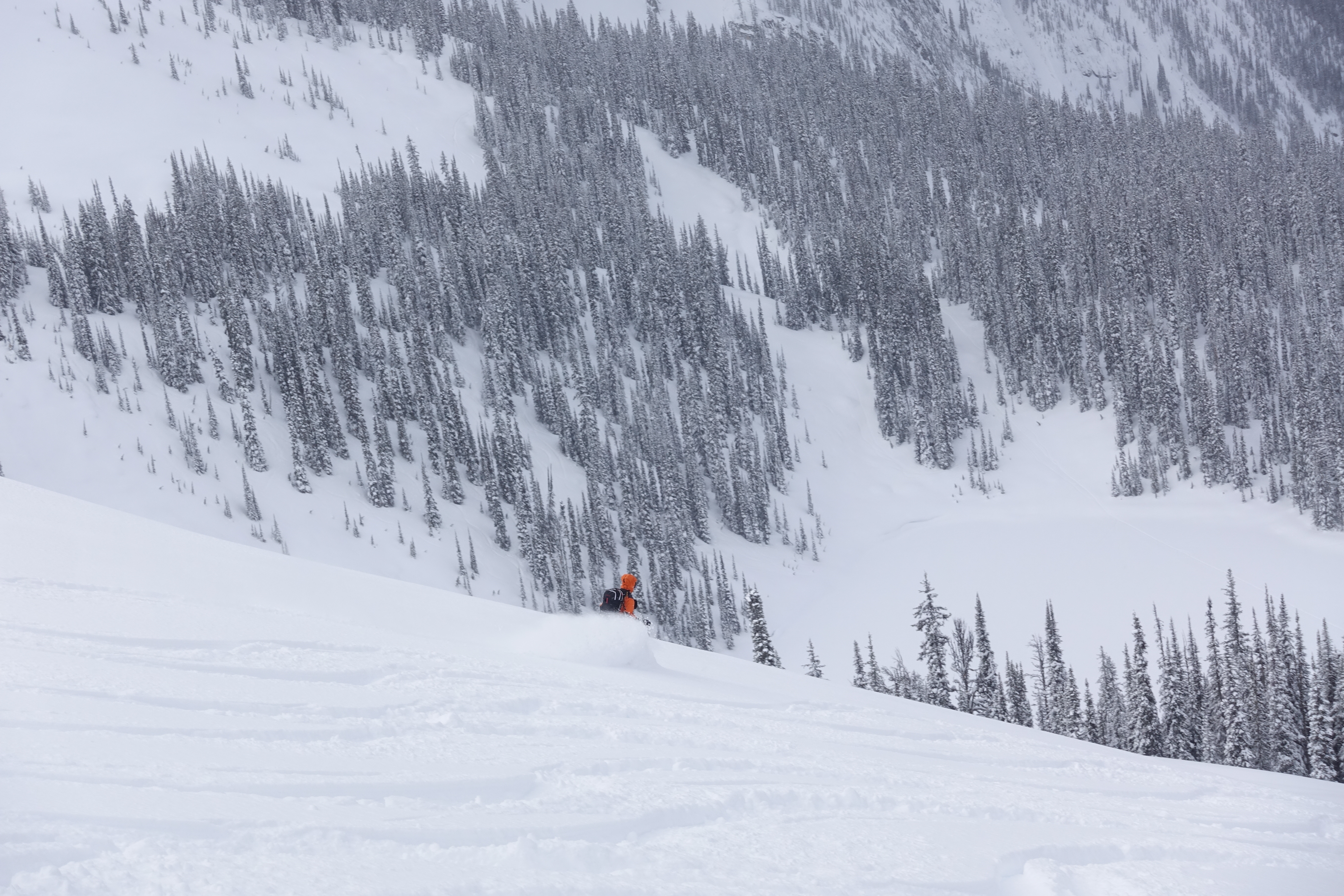
I just got back from a ski touring trip at Valhalla Mountain Lodge. During last week's storms they received over 140 cm of new snow at the study plot at 2100 m which had a total snow depth of 360 cm Saturday morning -- a snowpack height increase of about 20% over the week!
This fell on the Feb 23 layers which have been described as facets, surface hoar, or sun crusts. We saw limited evidence of avalanche activity on this layer except on very steep solar aspects where there was a suncrust at treeline and lower elevations. Avalanche activity seemed to be mostly in the storm layers. Throughout the storms there was relatively little wind except last Wednesday. Towards the end of the week there was a widespread avalanche cycle up to size 2 but mainly surface sluffing and small avalanches triggered by cornices or ridgetop windloading.
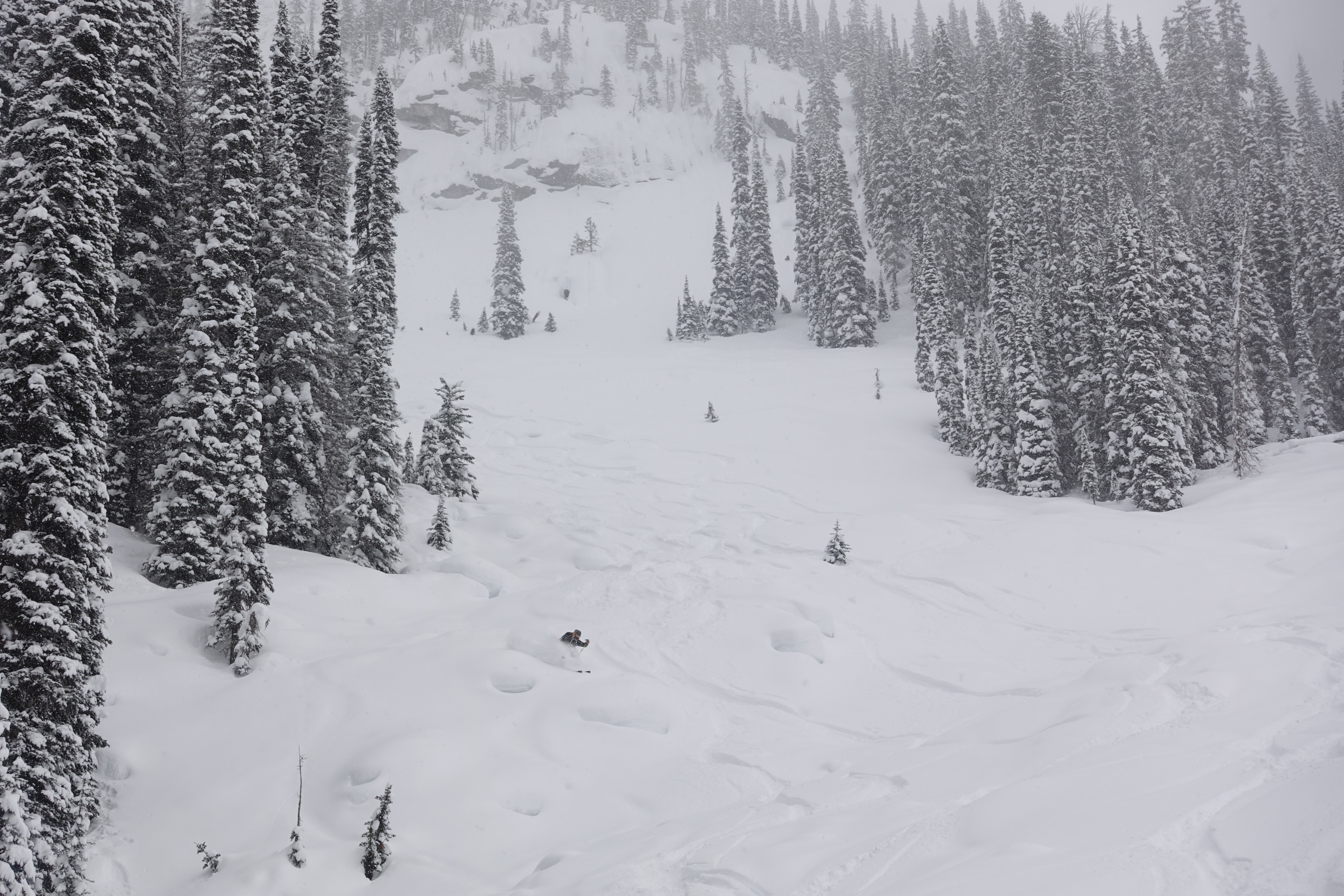
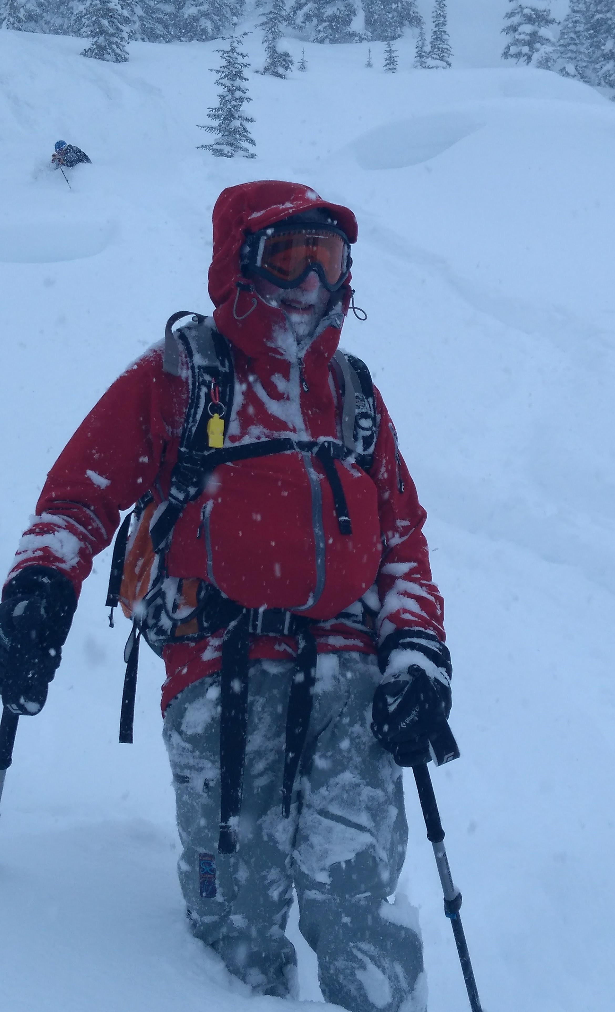
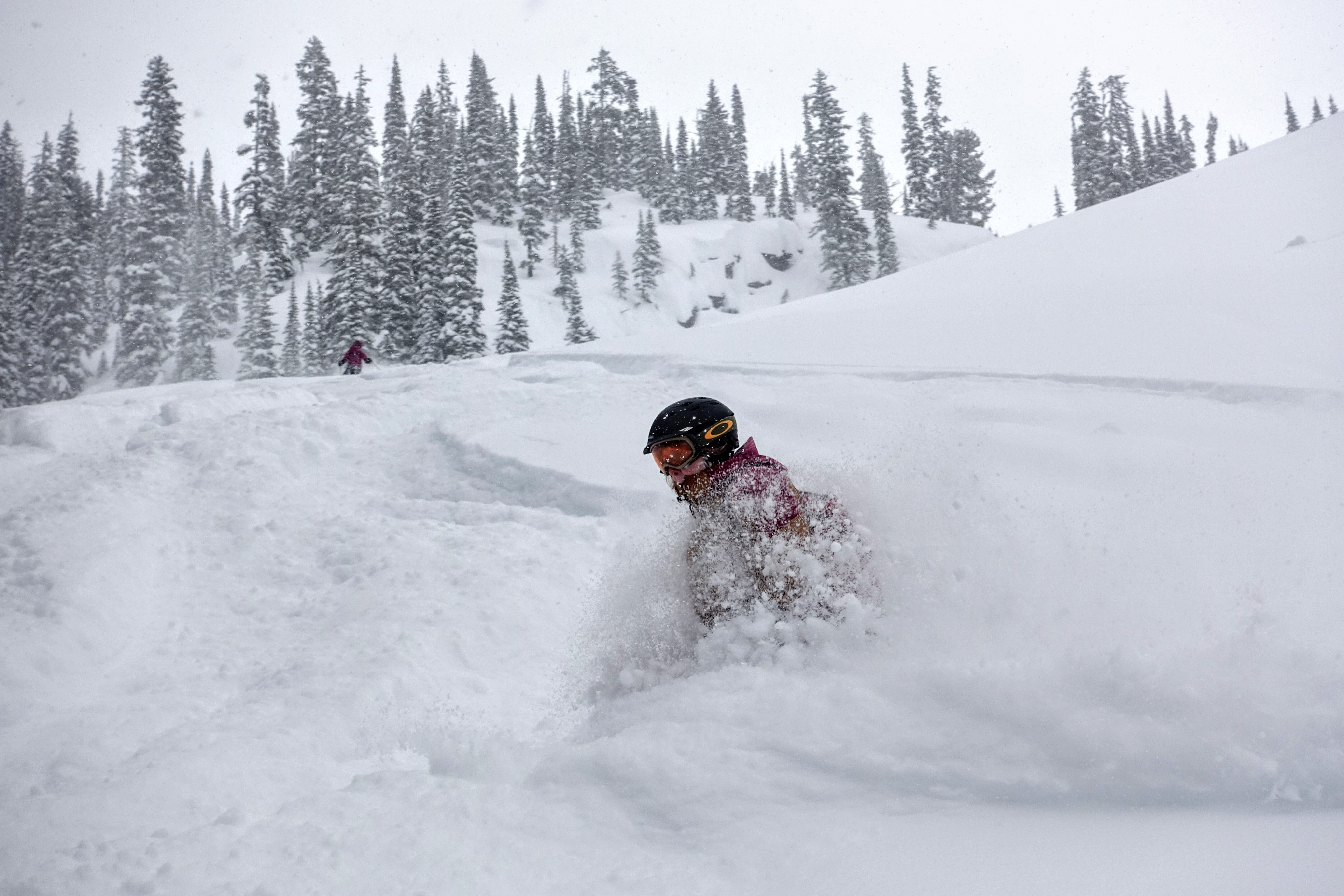
The skiing was excellent low-density pow on all aspects throughout the week. We skied from 2400 m down to 1400 m. With the more settled weather of the last couple of days hazard has been improving, down from High in the Alpine for the last half of the week to Moderate currently. The persistent weak layers of January are now buried 150-200 cm and not a concern right now. The main concerns in this area now are the suncrusts on steep solar aspects (the Feb 23 PWL) and storm/wind slabs.
Regards,
Tom Wolfe
Mountain Guide ACMG/IFMGA
Guided Heli-accessed Backcountry Ski Lodges in BC: www.sawback.com

