L'hiver s'installe en Gaspésie/ Winter is settling in Gaspésie
Parc National de la Gaspésie

Nov 5, 2017
English will follow.
Retour d'un weekend de rando dans le Parc de la Gaspésie avec des étudiants en Tourisme d'aventure du Cégep de la Gaspésie.
Samedi le 4 novembre: Boucle du Mont Olivine/ La Serpentine
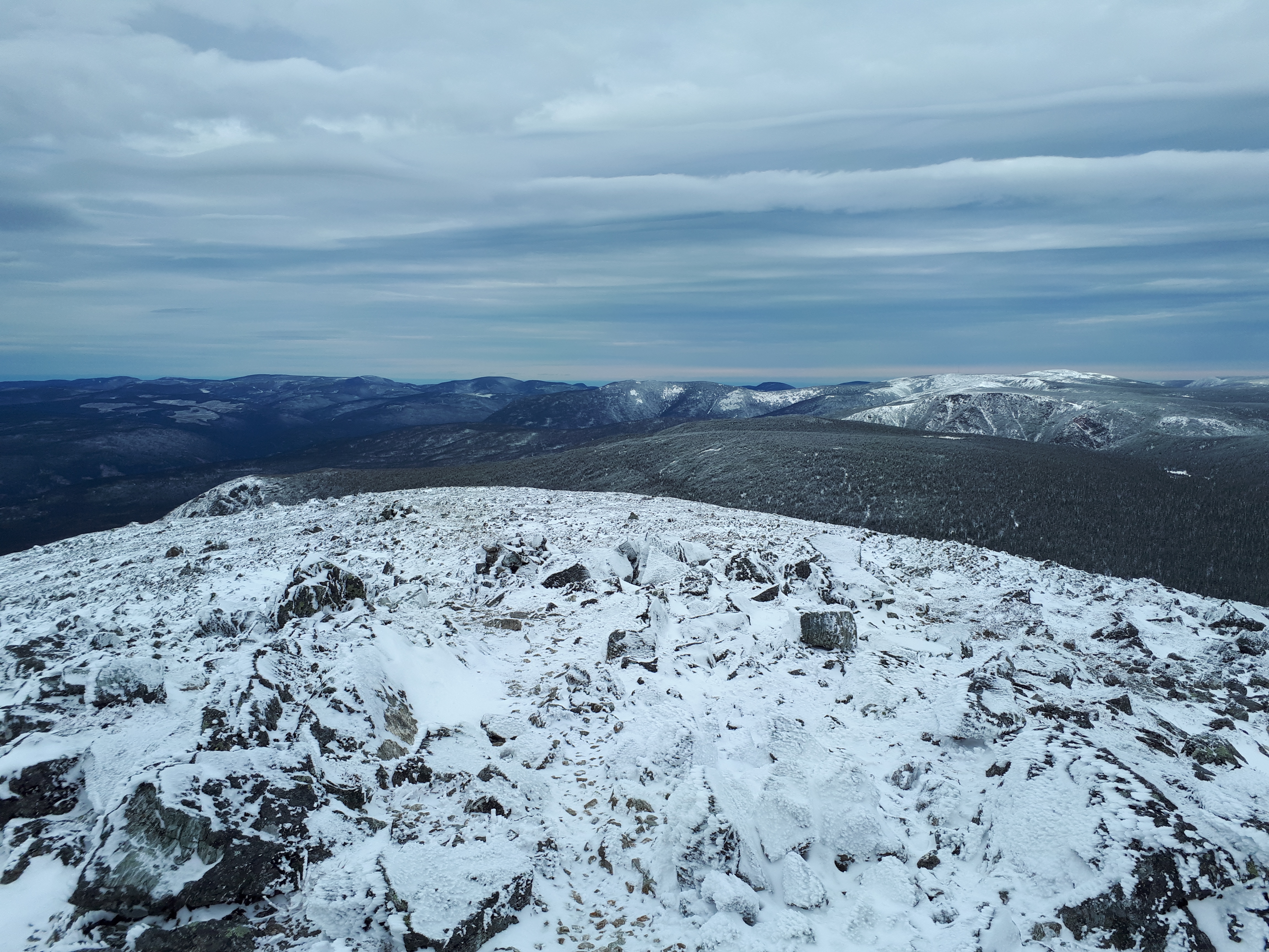
Dimanche le 5 novembre: Mont Richardson et Joseph-Fortin
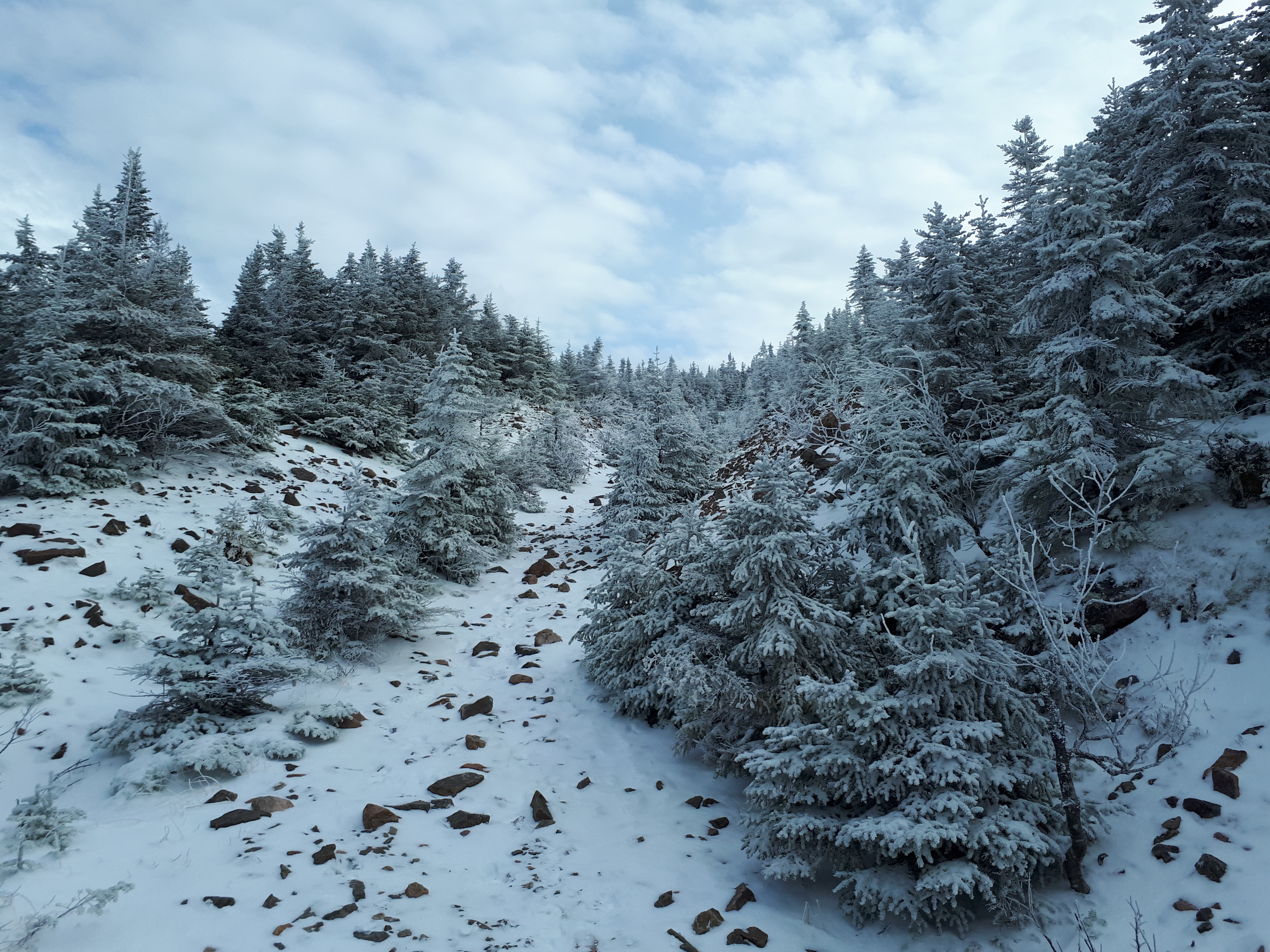
La pluie et la neige de la dernière semaine ont rendues les sentiers mouillés et boueux.
La température très froide, entre -4 et -8 degrés, du weekend a fait geler tout ça rendant les conditions difficiles par endroit. Encore facilement gérable sans crampons mais ça ne tardera pas. Partez équipé!
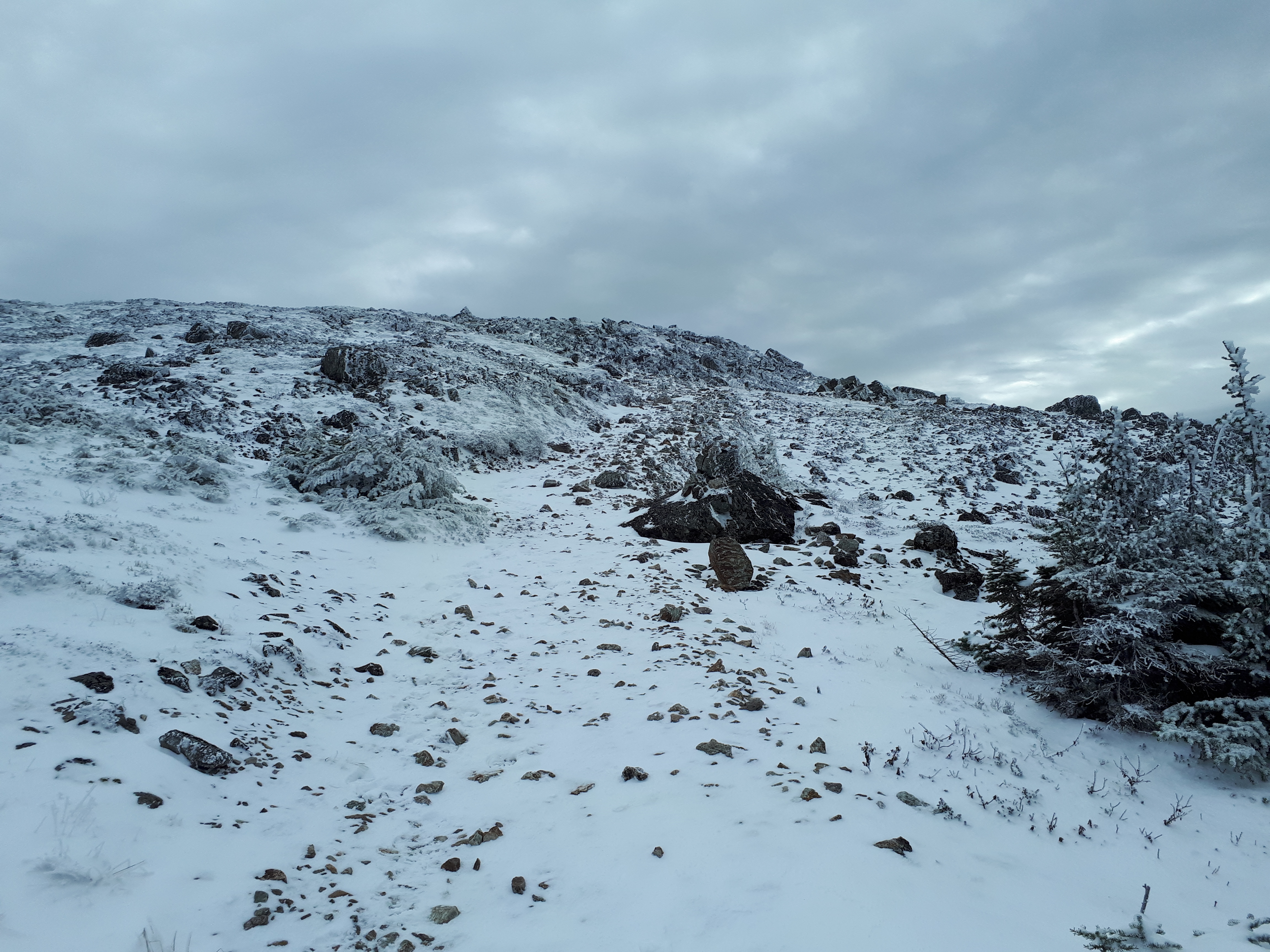
Accumulation de neige à noter: environ 1 pouce au sol à partir de 500 m d'altitude. En plus, la neige tombait à plein ciel lors de notre départ dimanche vers 15h30. (S1-S2)
La route d'accès pour le stationnement du Mont Richardson est toujours praticable malgré la neige du weekend.
A noter que tous les sites de camping sont présentement fermé dans le Parc. Adressez-vous à la Réserve faunique des Chic-Chocs (bureau du Mont St-Pierre) pour toutes possibilités de camping à proximité. Ils sont très aidant.
Bon mois de novembre, vivez-le!!
Back from a weekend of hiking and camping in Parc de la Gaspésie with a group of Adventure tourism students from Cegep de la Gaspésie.
Saturday nov. 4th: Mont Olivine/La serpentine loop
Sunday nov. 5th: Mont Richardson/ Joseph-Fortin
Rain and snow from past week got trails very wet and muddy.
Very cold temperature over the weekend (-4 to -8 degrees) made trails icy and very slippery. Still possible to hike without crampons but I recommend you pack them. Be prepared!
Snow accumulation was up to 1 inch above 500 m. To top it off, it was snowing quite hard when we left at 15h30 on sunday pm. (S1-S2)
Road is still open for Mont Richardson parking lot.
All campgrounds are closed in the park. Call Reserve Faunique des Chic-Chocs at Mont St-Pierre if you want to camp nearby... they are very helpful!
Enjoy november, live it out!!
Charles St-Louis
ACMG Hiking guide
Enseignant Cégep de la Gaspésie et des Iles