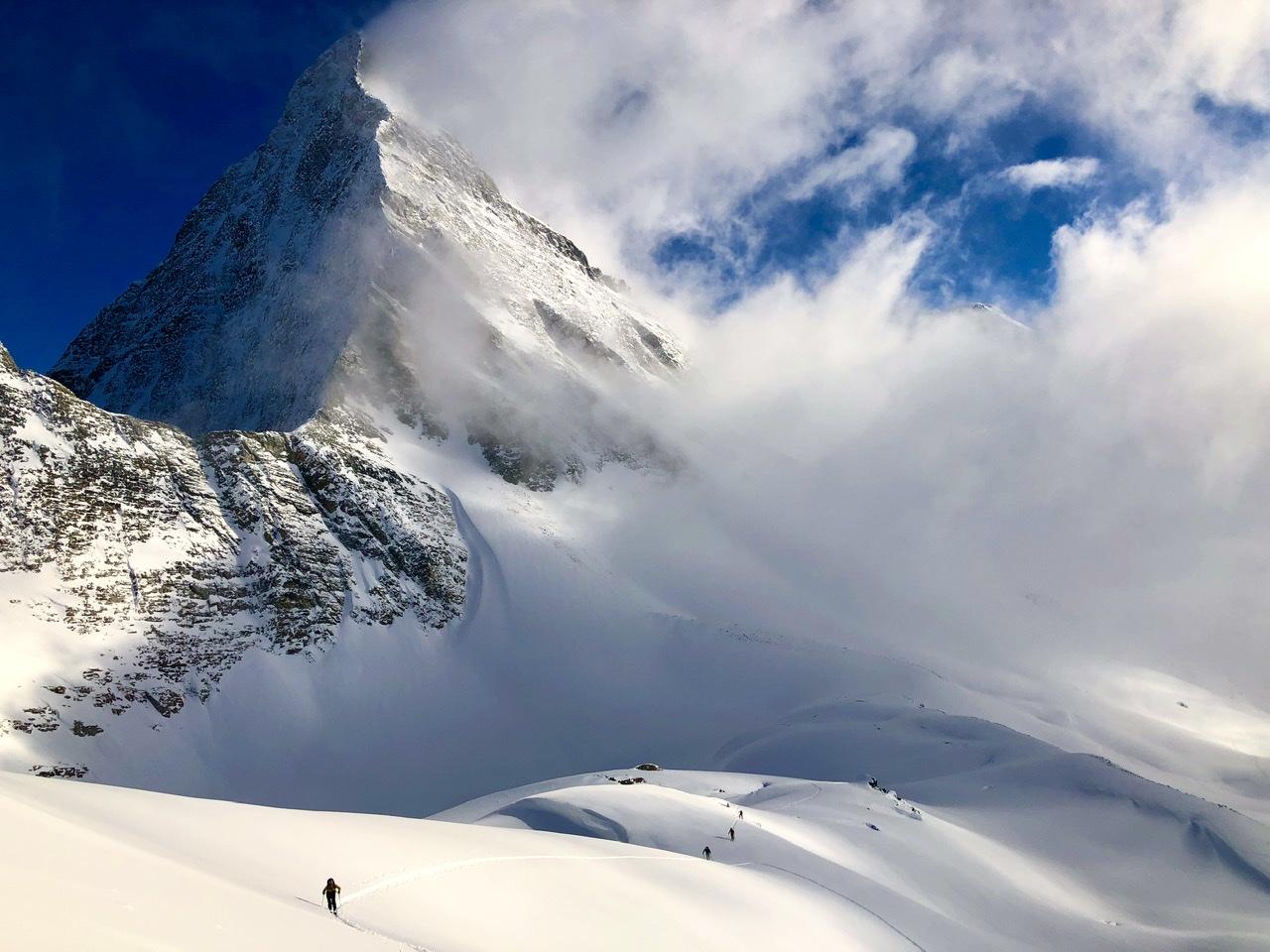
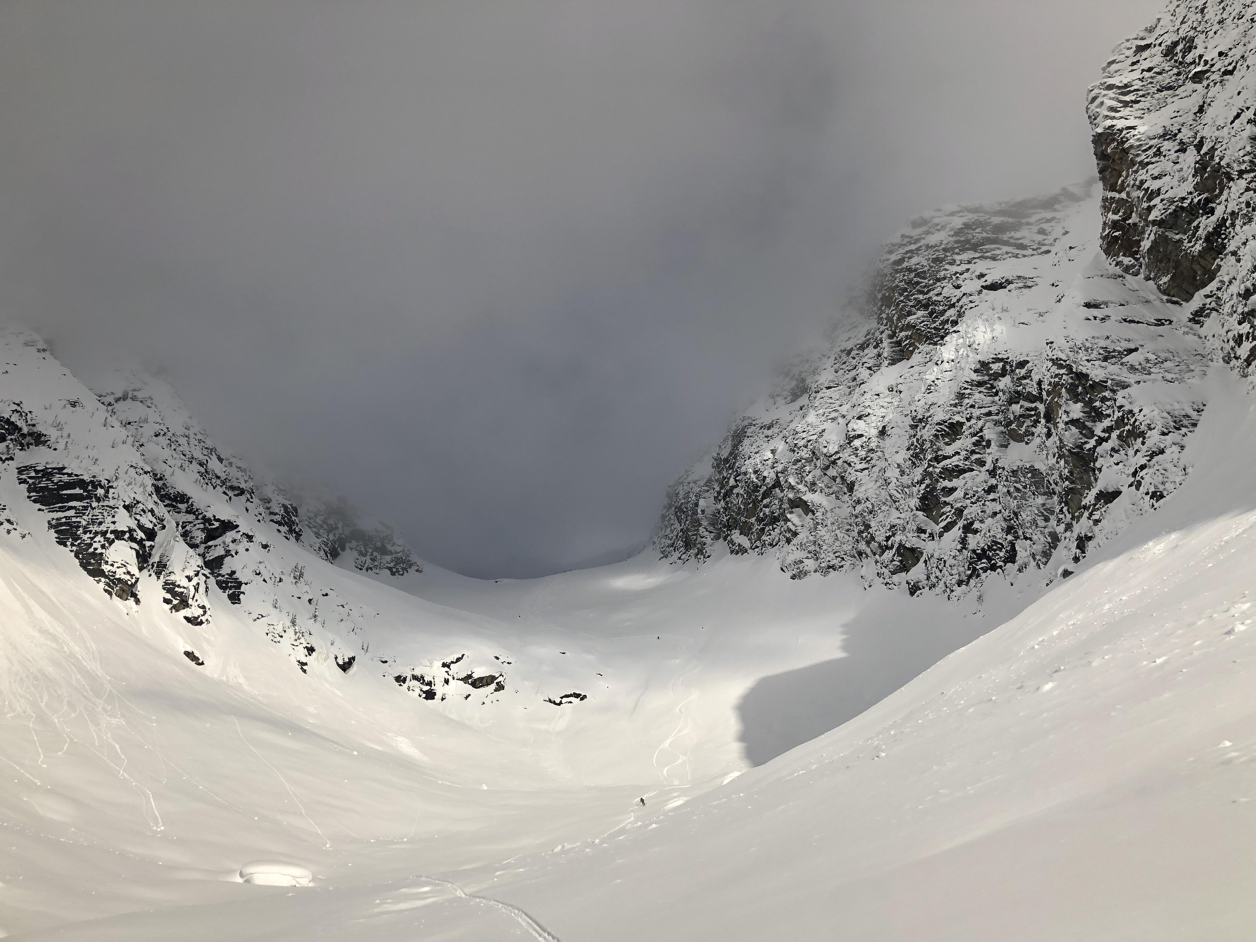
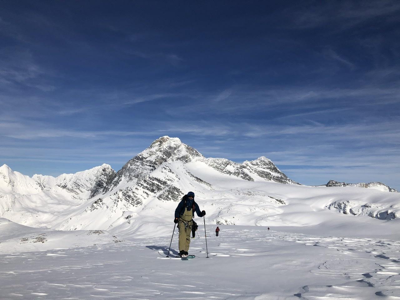
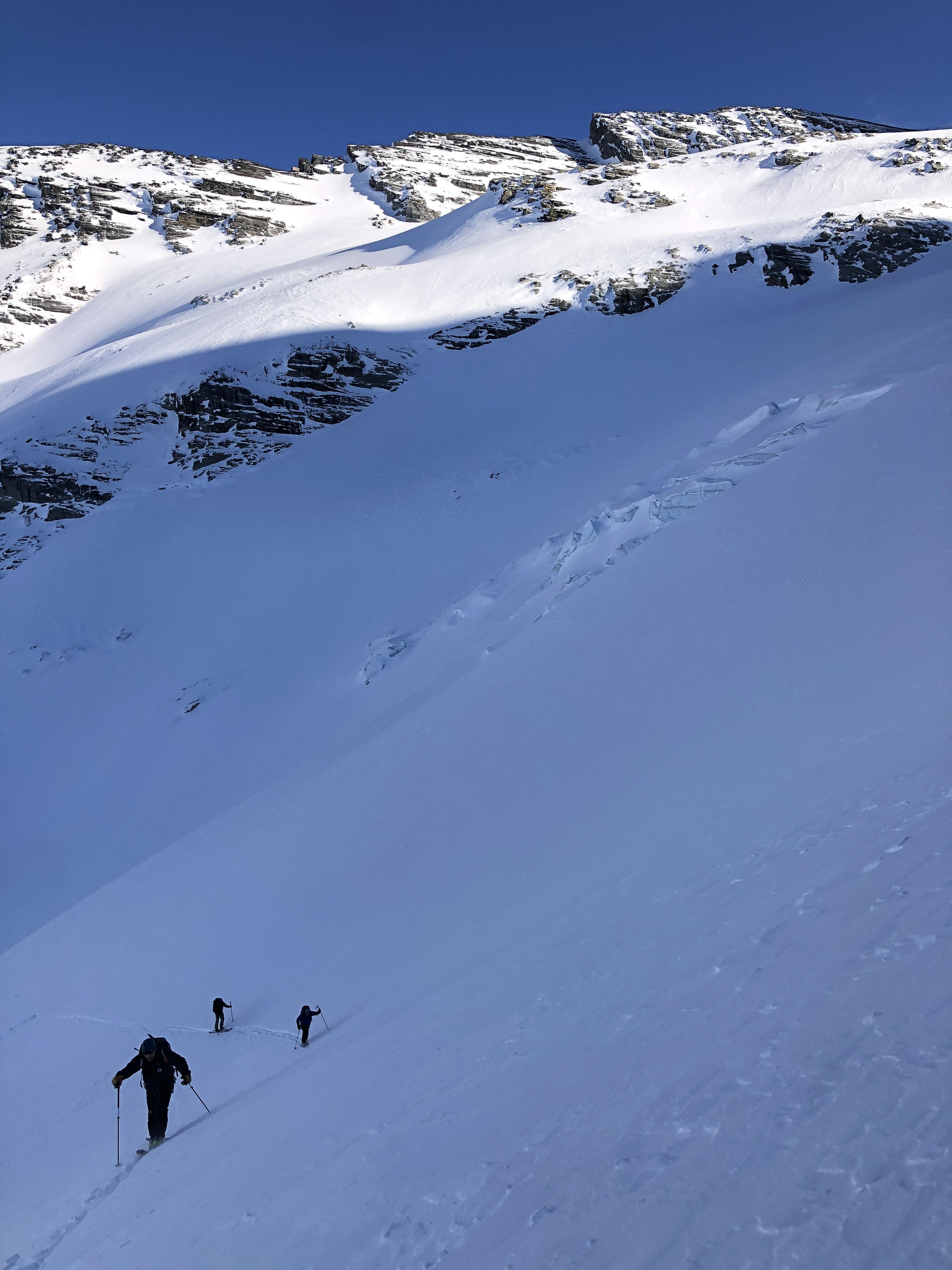
Over the past six days we skied in the Connaught, Loop Brook, Asulkan and Illecillewaet drainages and travelled on six different glaciers. There was evidence of a widespread natural avalanche cycle to size 3.5 on the December 1 and January 11 PWLs in the past two weeks. There was evidence of several cornice failures which triggered deep slabs on steep, rocky alpine features such as Mt. Swanzey S ridge.
The forecasted warming was not as intense as predicted, however artillery and helicopter deployed explosives were able to trigger avalanches up to size 4.5 durning the warming event.
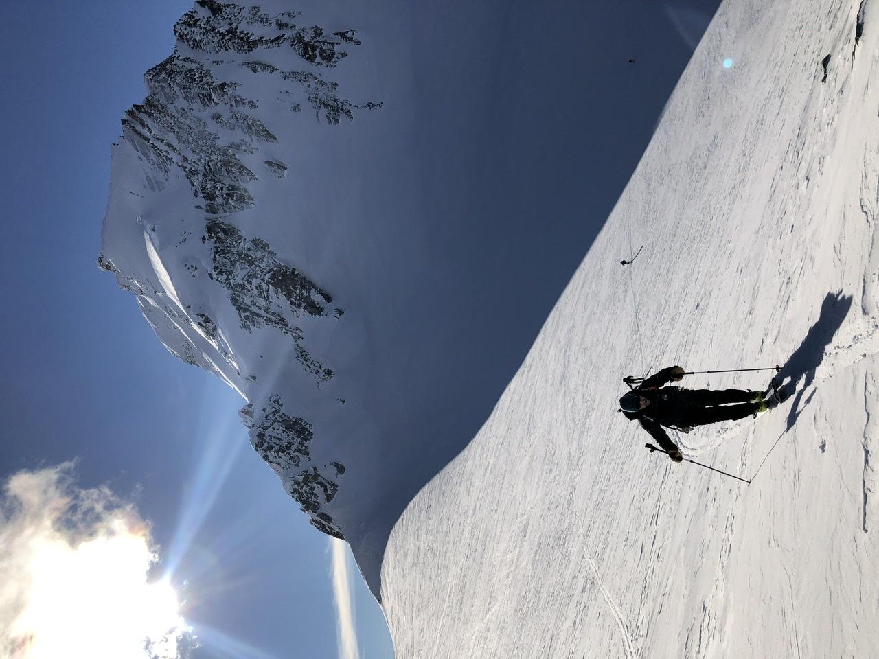
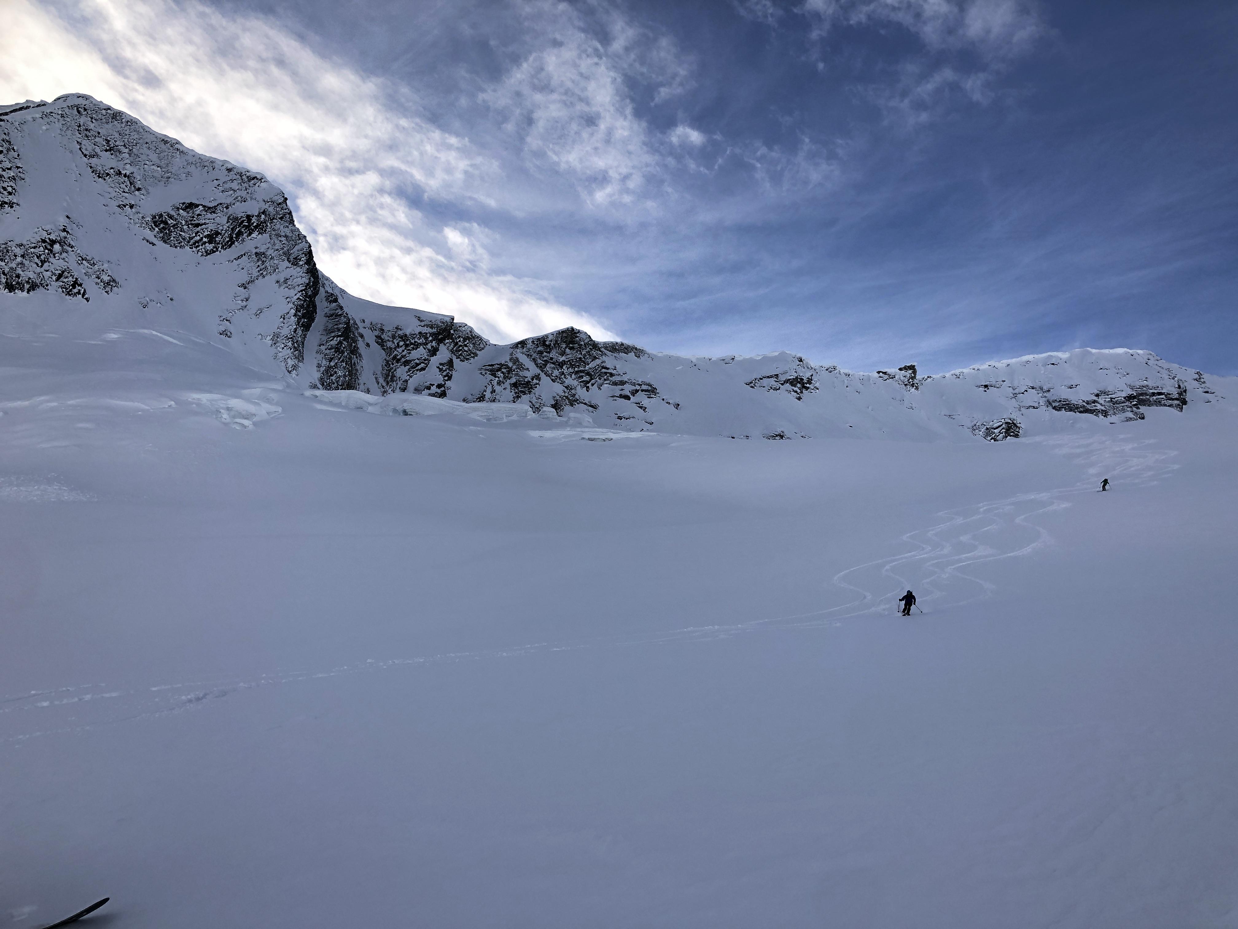
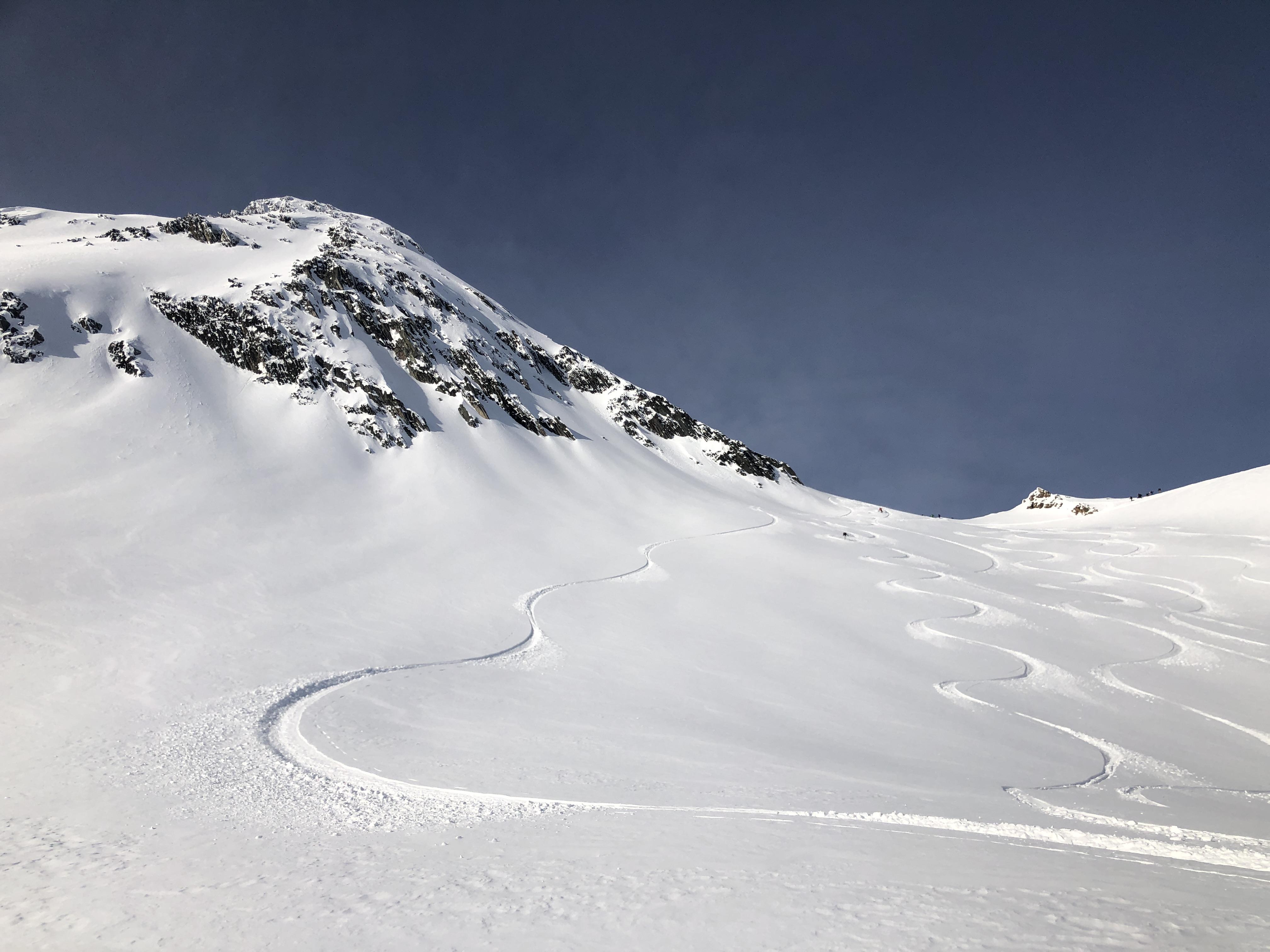
Ski conditions ranged from excellent to less than savoury, however we managed to ski high quality, soft, untracked snow on every run.
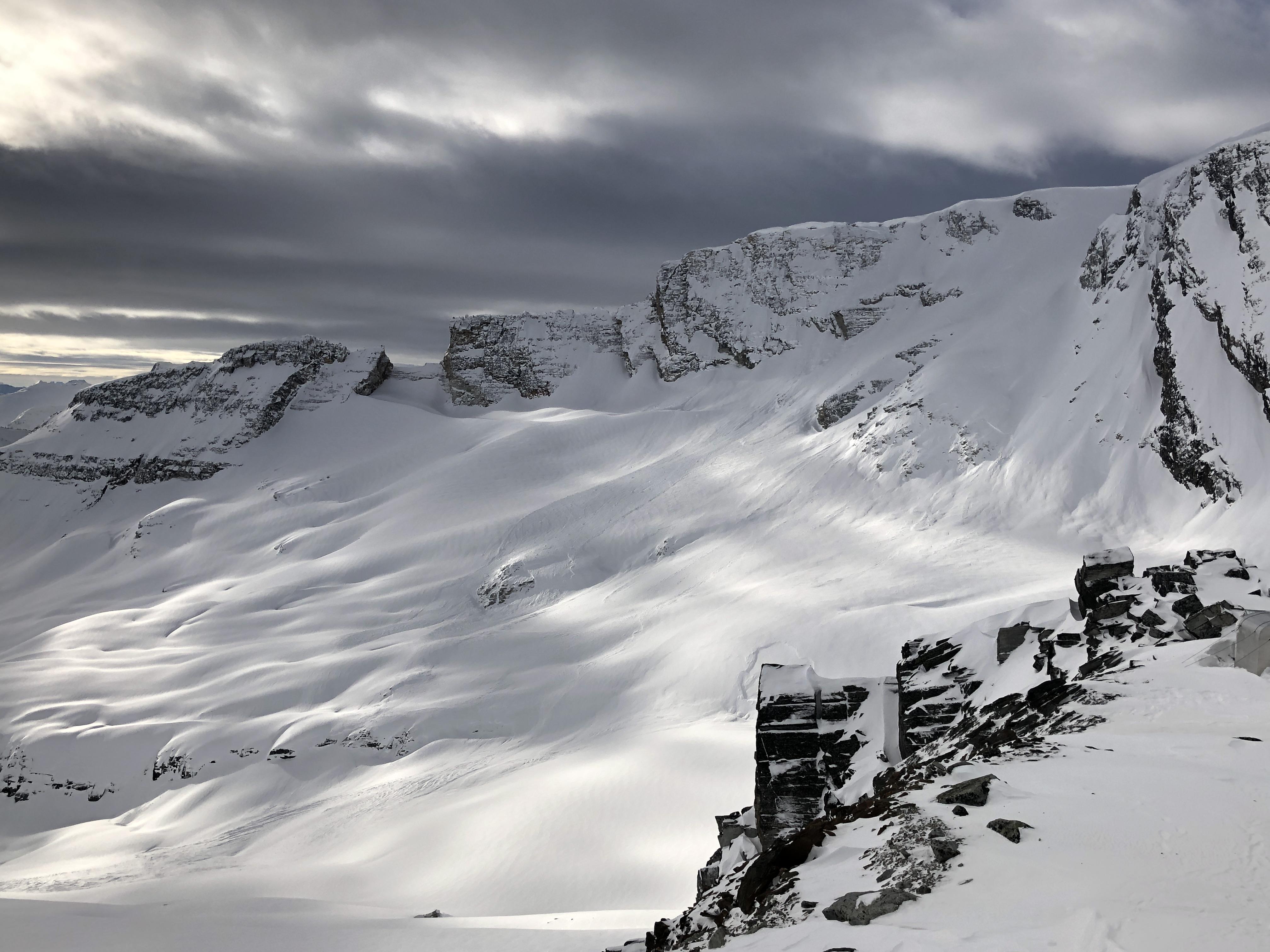
Steep solar aspects in the alpine and lower angled solar aspects below treeline exhibited breakable melt freeze crusts by Thursday afternoon. In sheltered alpine areas, 10-20cm of fist facets overlay a progressively resistant and strong snowpack; in isolated features, 5-10mm surface hoar was observed. In exposed areas, there was significant wind effect from variable winds ranging from mild sastrugi to smooth pencil+ hard slabs and breakable crust. There was lots of catabatic wind effect in large glaciated features such as the Illecillewaet glacier.
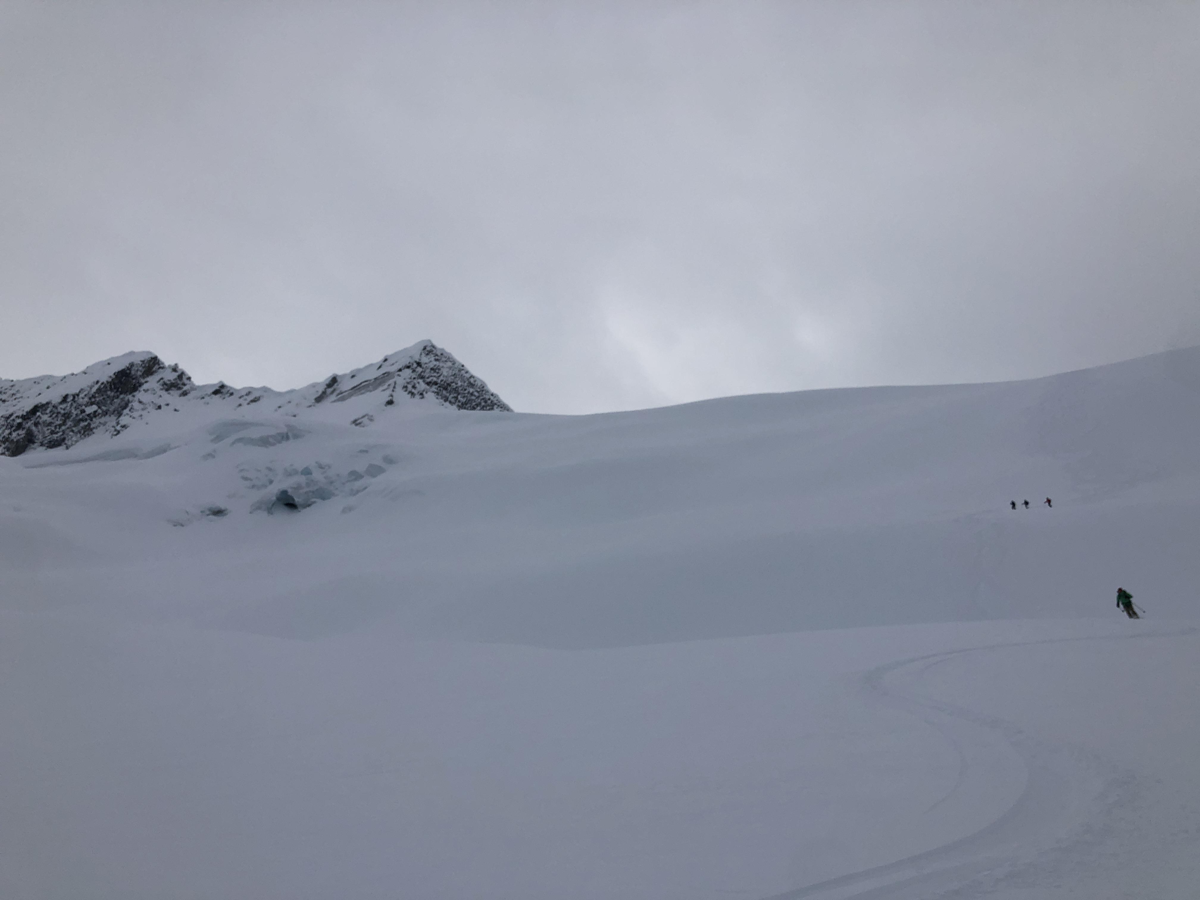
Height of snow on the glaciers (in areas probed) ranged from 1m-3.5m+. Generally, crevasses were well bridged, however, there were a few that were still wide open (the Asulkan Glacier for example)—it’s still January. We travelled on the Bonney, Asulkan, Dome, Greens, Illecillewaet and Lilly Glaciers.
In sheltered areas at treeline and below, widespread surface hoar to 13mm overlies a progressively resistant snowpack. The Jan 11 interface was down 50-100cm and was unreactive to skier traffic where we skied. The Dec 1 MFcr PWL was down 150-250cm in areas we travelled. While the Dec PWL was unreactive to skier traffic, large loads we able to affect it and generate large avalanches on it.
Early season hazards still exist around creeks, but most of the valley approaches are in great condition.