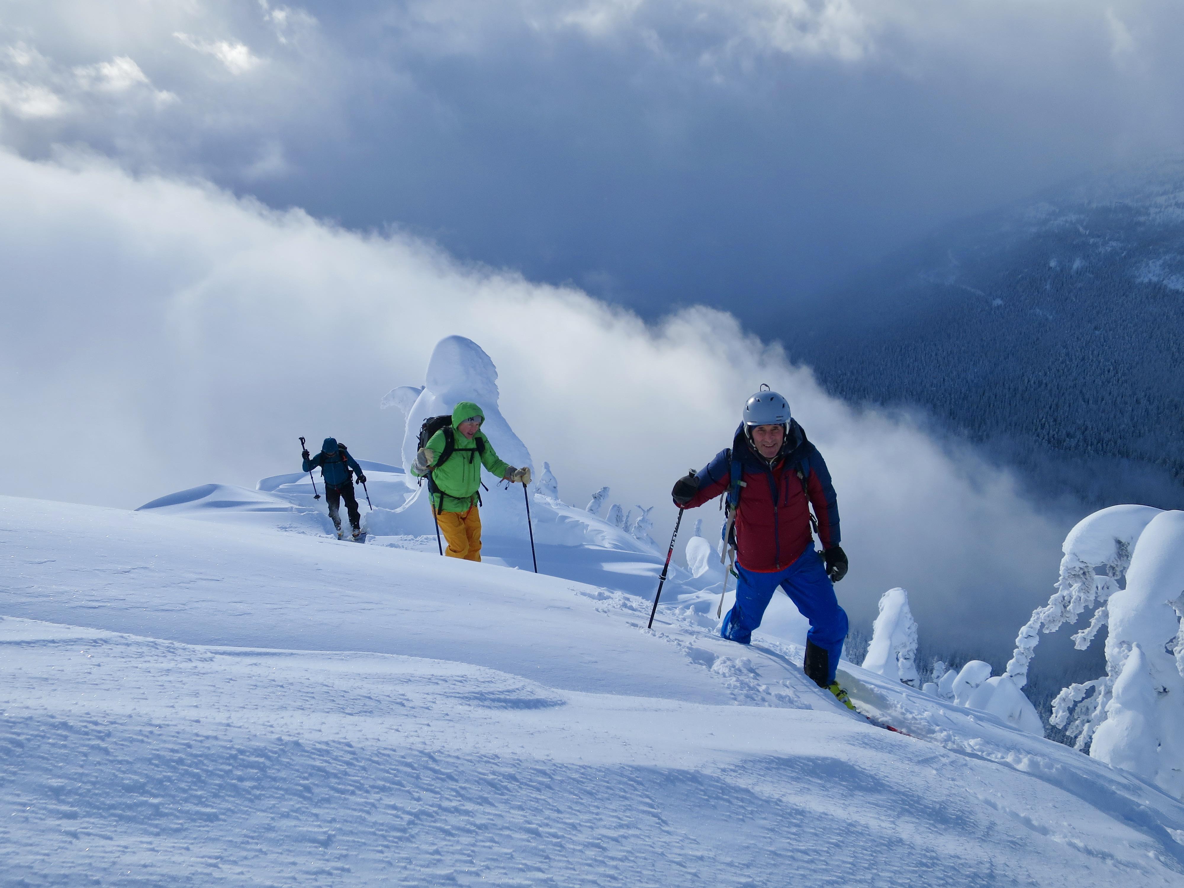
Madeleine Martin-Preney and I had a couple of groups out the past 5 days, mostly in Rogers Pass.
On January 29th (the day it started snowing), we observed widespread surface hoar (or sun crust on steep solar aspects) up to 2200m (average 5mm size) with a mix of supportable and breakable windcrust above this elevation. We took the direct route up the Asulkan Glacier (as shown in Douglas’ new guidebook) around Mt Jupiter and found the crevasses/seracs quite reasonable to negotiate.
We approached the next couple of days cautiously skiing in Connaught Ck and around Revestoke. The avalanche cycle peaked on Sunday night, with evidence of widespread avalanches on the Jan 29th layer at treeline/below treeline around 30-40cm deep.
The last couple of days we’ve been stepping out cautiously, avoiding large and steep unsupported slopes where we thought the surface hoar or sun crust could be an issue (such as yesterday when I decided not to take the shortcut past the Hermit Campground). We skied the loop from Lookout Col to The Ravens, Gun Barrels and McGill Main Chute, Bruins Glacier from the summit of 8812 Pk and Lone Pine Lite.
Numerous hand shear and test profiles the past couple of days have shown resistant planar results on the January 29th layer, although we didn’t put too much weight on this, and we did have some significant cracking on the sun crust yesterday on a short roll over 35 degrees. We’ve mostly been skiing southerly aspects the last couple of days to avoid the surface hoar and cold temps. The January 29th layer seems to be most problematic at treeline and below treeline, with minimal avalanche activity observed in the alpine.
There was a new sun crust on steep solar slopes at treeline and below treeline now buried.
Enjoy the fantastic skiing at the moment!
Alex Geary
Mountain Guide