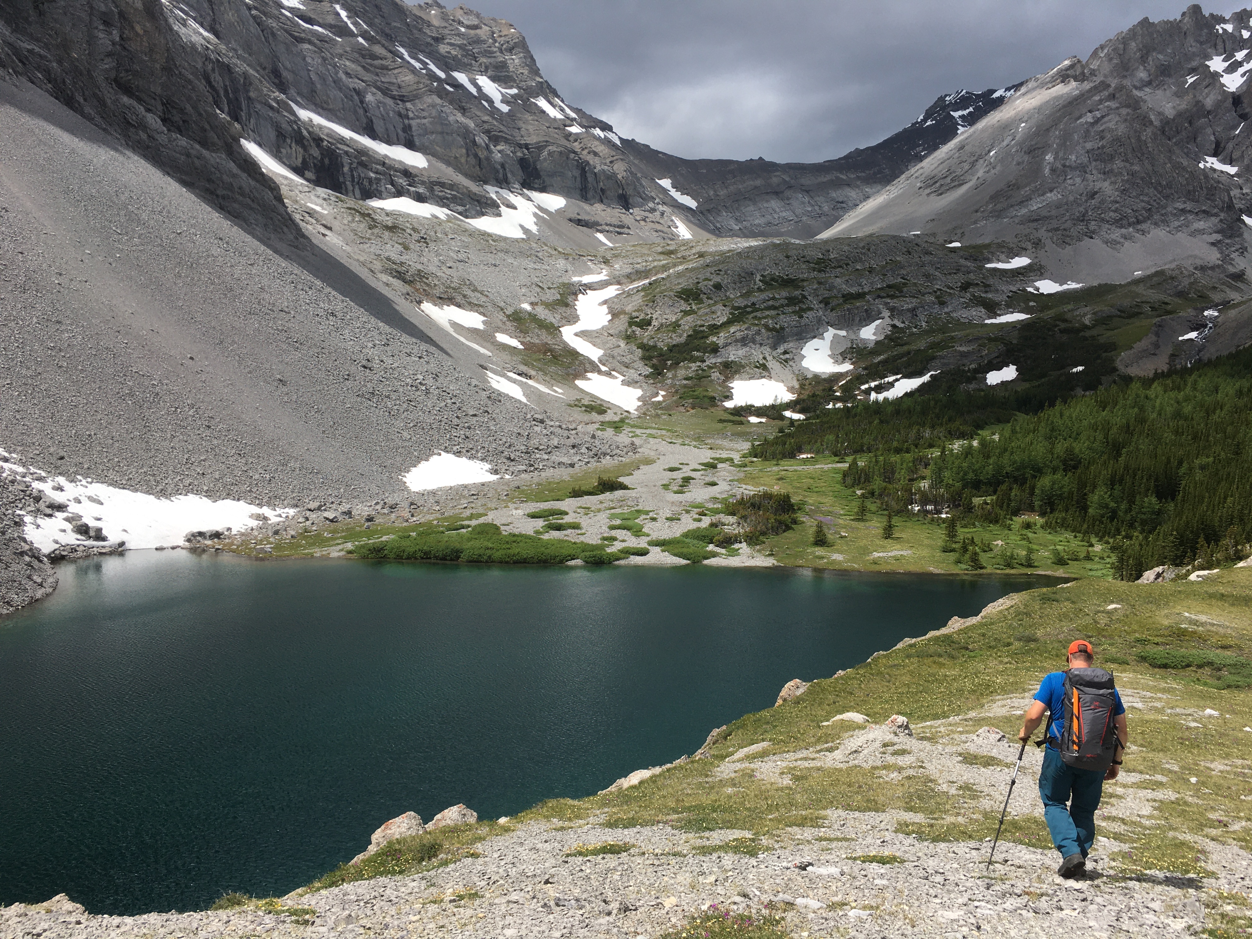
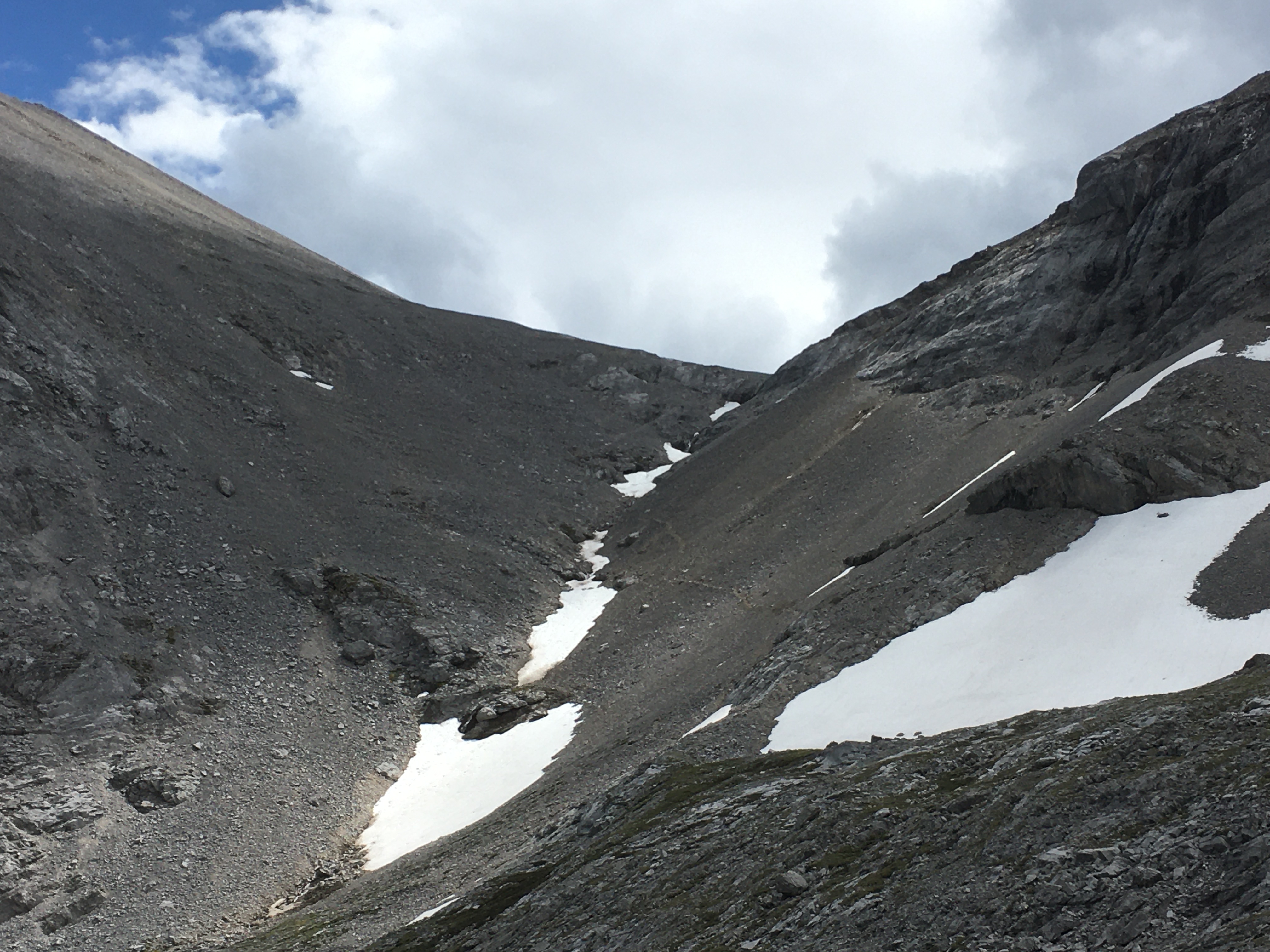
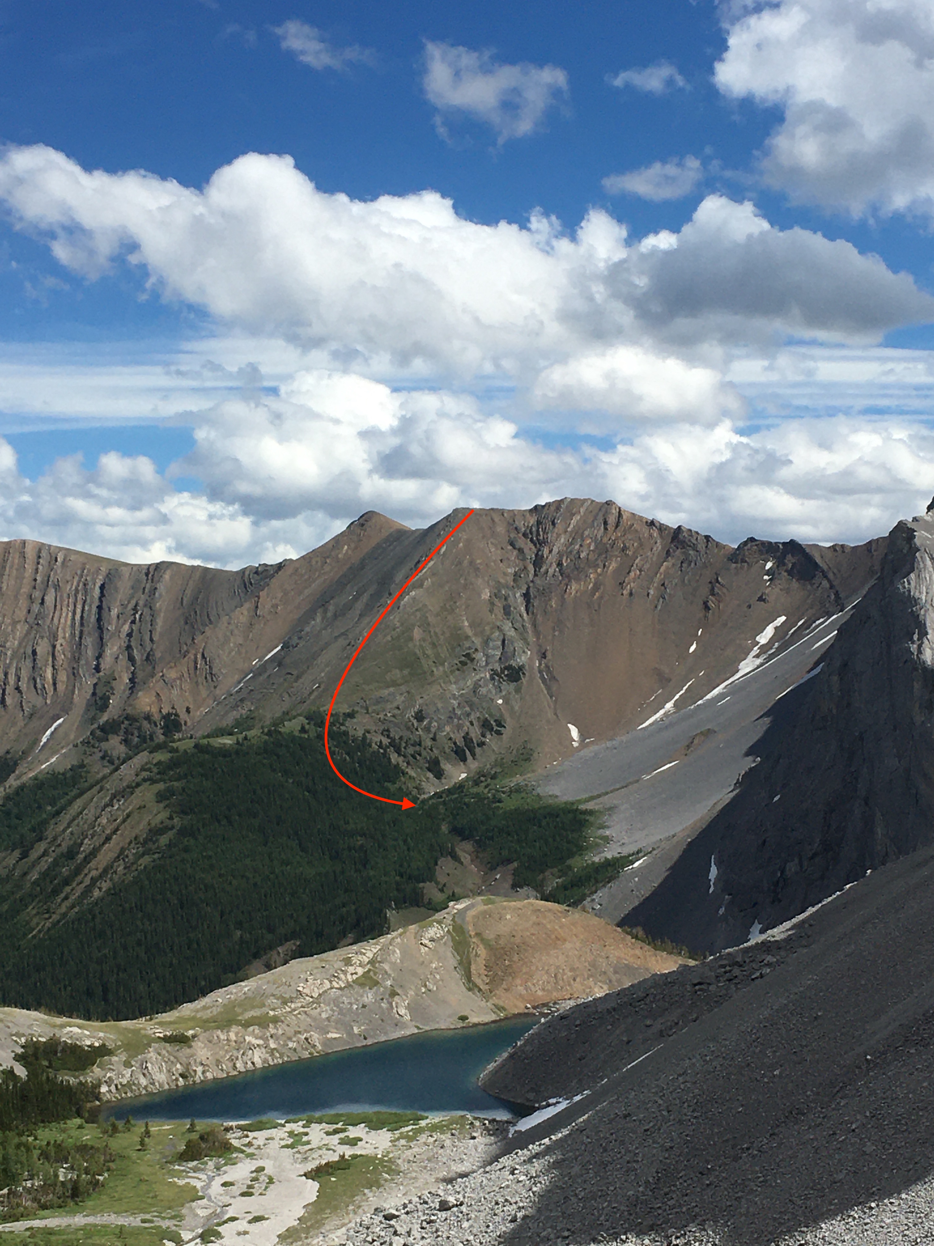
We went for a walk last week to explore some KCountry ridges in the Highwood Range. We started up and over Lineham Ridge into the Picklejar Lakes area and connected this further north to Mist Ridge and then up and onto Eagle Ridge (as named on the Highwood GemTrek map) and down into Burns Creek. From there we went up past Burns Lake and through a col to the south of Mt. Arethusa and down into Arethusa Cirque and back out to Hwy 40. This was an excellent (mostly) alpine walking route and during the whole 4 days we didn’t encounter any snow that we had to travel on, or that complicated things. We were unsure if the descent north off Eagle Ridge was possible while avoiding significant overhead hazard, but found a rib starting at 475068 that allowed us to descend into the valley without technical difficulty (see attached pic). There were other ways to descend off the ridge, depending on your appetite for scree and talus and overhead rockfall hazard. We were also unsure what the condition of the high col along Arethusa’s ridge would be on the NE side, but again weren’t forced to travel on snow to complete our route. There were some spectacular places to camp along the route, and strong off-trail navigation skills would be recommended for anyone heading out that way.
Ryan Lemphers, HG
Will Woods, HG, ASG