Hi all,
A strong low pressure system tracking northeast along the Canada/US border has delivered significant snowfall and improved the skiing conditions in the Kootenay Boundary.
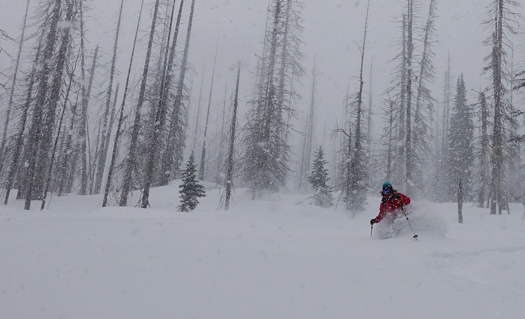
Today in the Five Mile valley, just East of Whitewater Ski Resort, we experienced the praised Kootenay coldsmoke. We skied East and West aspects between 2050m and 1650m under obscured skies and heavy snow with ideal low density snow temperatures between -8.0C to -11.0C . The area received anywhere from 25cm to 40cm of new snow, it is still currently still snowing heavily.
Winds were quite variable (light to Moderate) in the valleys but prominently from the Southwest at ridge top. Some exposed areas at treeline and below treeline saw significant wind transport while others didn't. The new snow was forming into a very soft slab and was reactive to skier traffic to size 1. Cracking and remote triggering was observed in the storm snow but very inconsequential in terrain skied due to the very low density snow.
A test profile at 1920m on a west aspect showed a snowpack depth of 200cm and test results as follow: compression test very easy down 20 cm in a storm interface, easy and sudden shears down 35cm bellow the new snow interface and hard resistant shears down 55cm on the Jan 17th layer under the persistent slab.
The short term forecast is calling for a bit of a reprieve however more snow is on the menu with continued cool temps starting Thursday evening.
Enjoy the snow!
David Lussier
acmg mountain guide
summitmountainguides.com

