Just wrapped up a Glacier Travel and Crevasse Rescue course with High Country Ski Guides at Rogers Pass today. We traveled on glaciers in the Asulkan and Illy Valleys over the past few days. We had a few days of challenging visibility, and some points where it was better and more workable. Up at glacier elevations there has been about 40cm of new snow in the last three days.
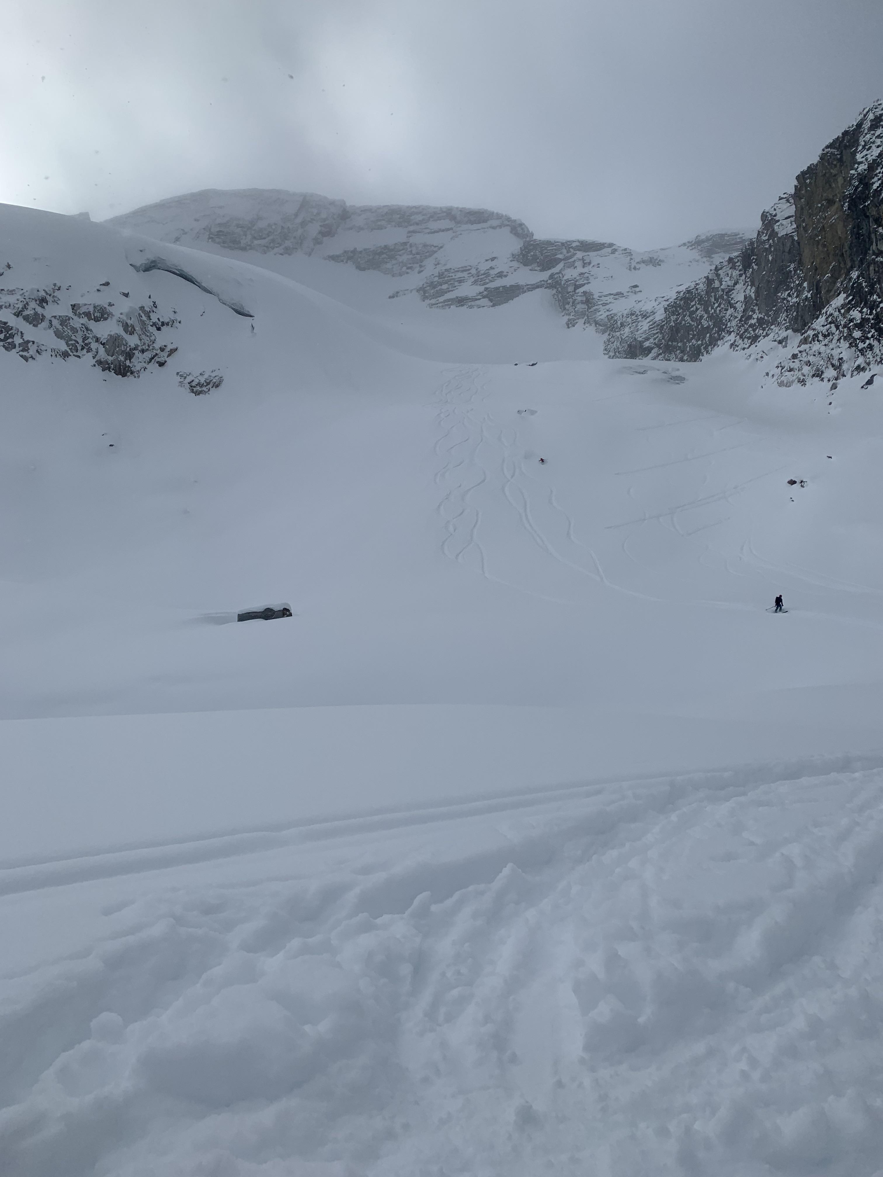
Jan 31: Skied onto the toe of the Illecillewaet glacier from the top of the Lookout Bumps. Lots of blue ice showing along the big roll to flatter terrain up top. The snow here had seen a lot of wind recently, with some places scoured and others with deep deposits. The thinnest coverage was 40cm of new fluff over bare ice and there were lots of times that the probe didn't go past 200cm. There were also places where it was over 350cm deep, very variable. Average snow depth was around 220cm, with the bottom 1/3 feeling hollow in many places. We didn't go over the big roll at the bottom because it looked like there was really only one spot without blue ice showing, and the visibility was getting poor in the PM. If I was going back there I would want very good visibility to navigate the lower glacier.
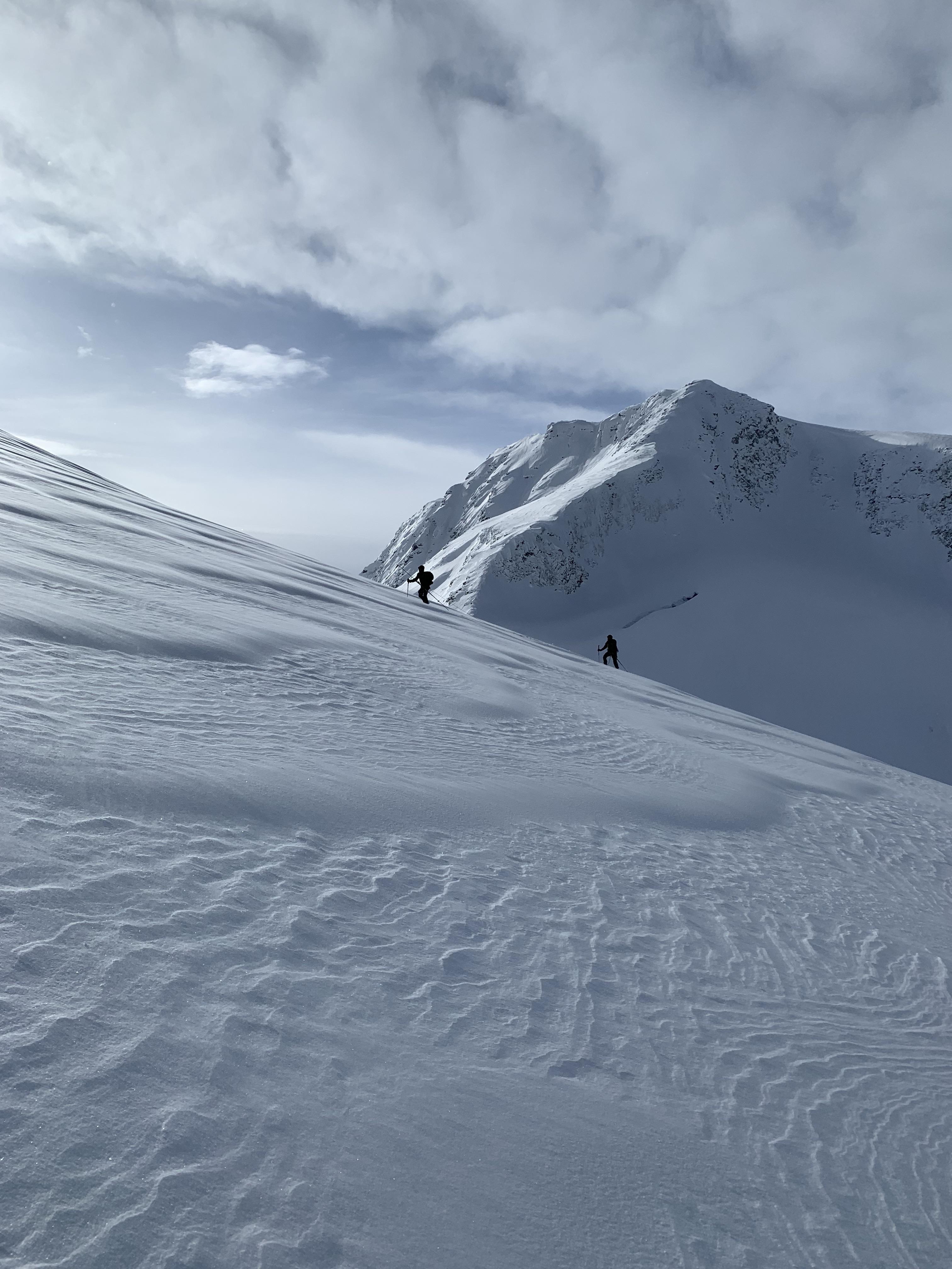
Feb1: Went up towards Sapphire col, and got onto the normal route there beside the Cleaver. I was surprised by how little wind effect there was, even below the 30-40cm of new, blower storm snow. Coverage on the glacier was better here, shallowest was 150cm, average was 260cm and it felt less hollow at the bottom. Again, many places over 350cm and feeling firm when probing. There was blue ice showing lower than I have seen in recent years here, along the Cleaver. We didn't encounter old windslab under the new snow until we were right up against the big roll at the top. Excellent skiing on the way out, with the new snow not showing any signs of settling into a storm slab by the time we left.
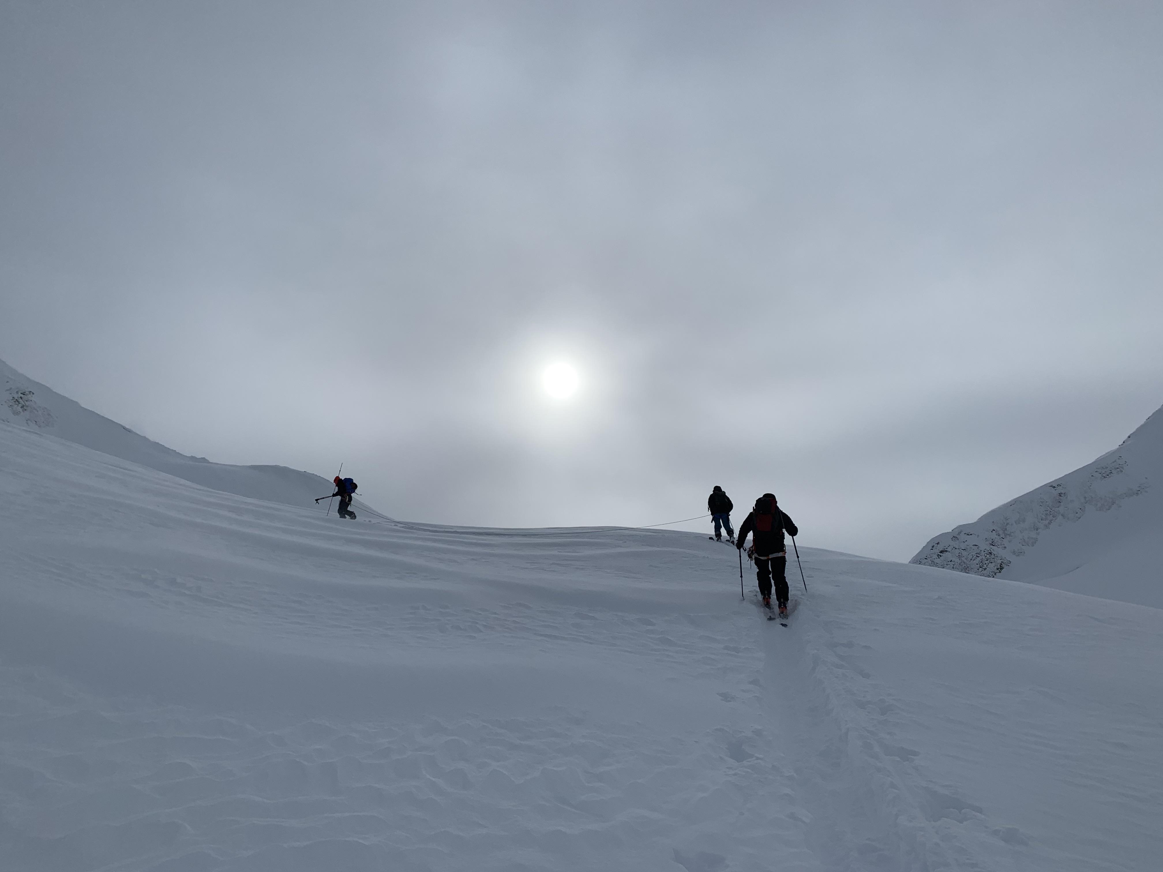
Feb 2: We climbed past the Asulkan Hut and skied on the Asulkan Glacier below Asulkan Pass. The forecasted strong winds either didn't materialze up here (yet) or weren't as strong as predicted. We found wind-settled storm snow that made for excellent skiing, and only just as we were leaving was starting to feel like a soft storm slab. Coverage up here was between 110cm and 350cm+, with the average being around 250cm.
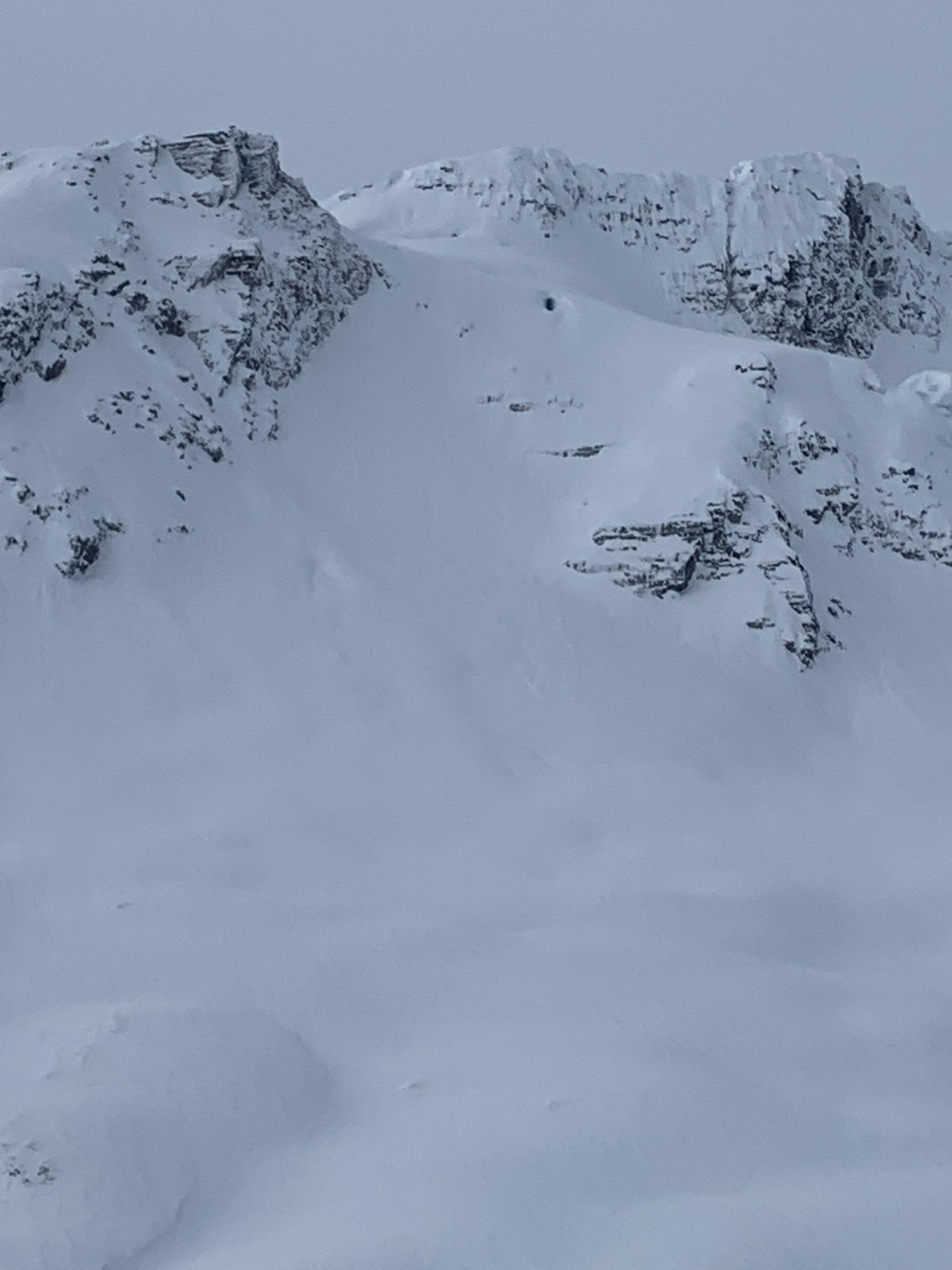
Over the three days we didn't see any evidence of recent slab avalanches and only saw small dry loose avalanches out of steep and extreme terrain. We didn't encounter much windslab, and when we did it wasn't showing any signs of reactivity. We avoided (as much as possible) being under large, steep alpine features that could have produced avalanches on the November interface. Also, in the past week skiing at the Pass I have seen a decrease in the reactivity of the Jan 4 Surface Hoar interface, but I have also been in well traveled places. Also attached is a photo of the Thorington ski line, which is looking particularly unpleasant at the moment.