Hi all,
We just wrapped up a glacier trek in Bugaboo Provincial Park from August 18 to 22, 2020.
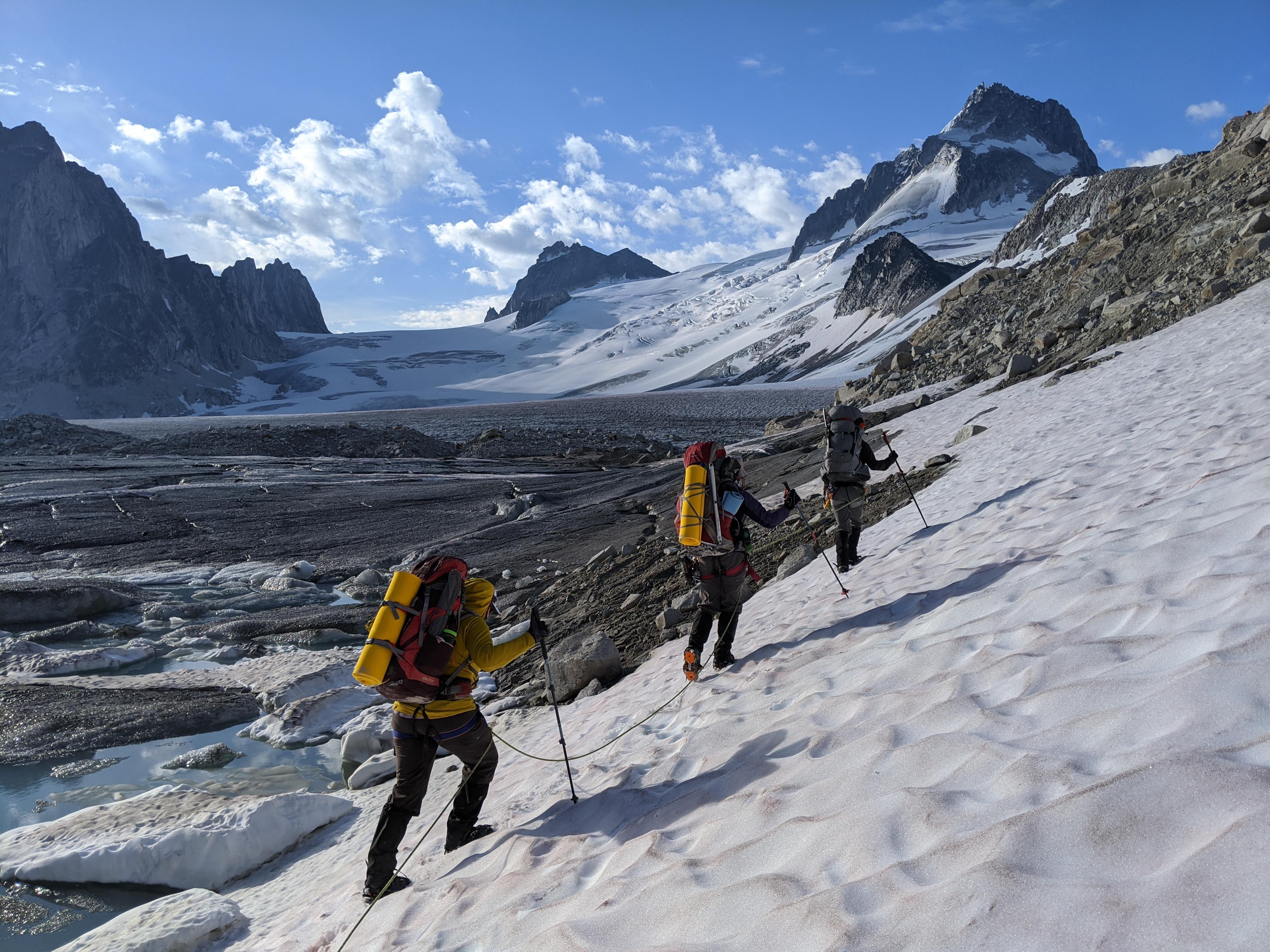
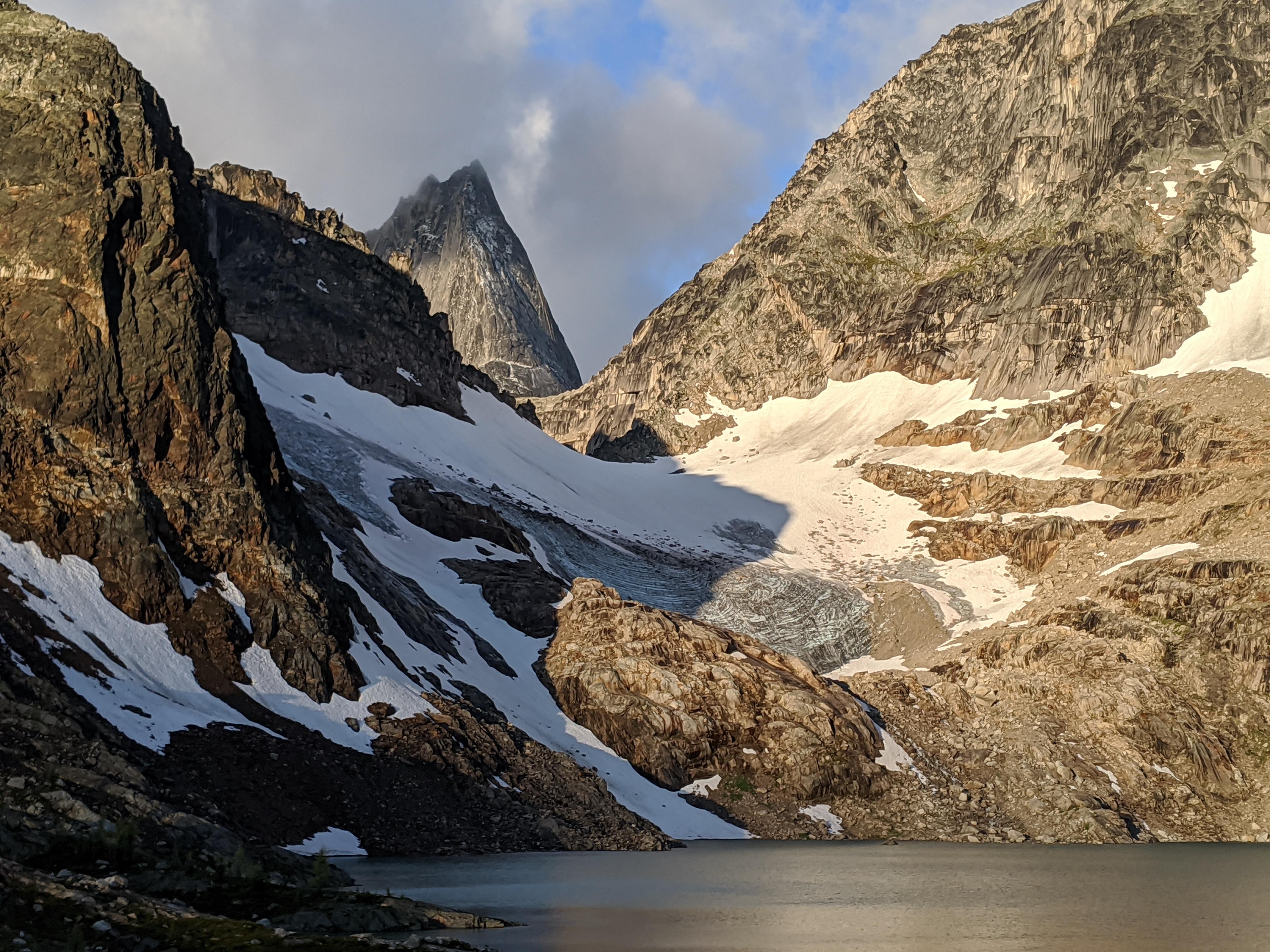
We started at Bill's Pass, on the Western park boundary, which we access by helicopter. From there we traveled across the upper Vowell glacier to the base of the West ridge on Pigeon, down the upper Pigeon fork of the bugaboo glacier, onward to Applebee Dome, across to Colbalt Lake and then out via the Cobalt Lake trail. Altitude wise, we traveled between 3000m and 1500m. The weather was seasonally mixed for most of our trip however, our last night (Aug 21th) was cooler and rather explosive with ongoing thunderstorm and heavy precipitation all night. This left a dusting of fresh snow/hail above 2900m.
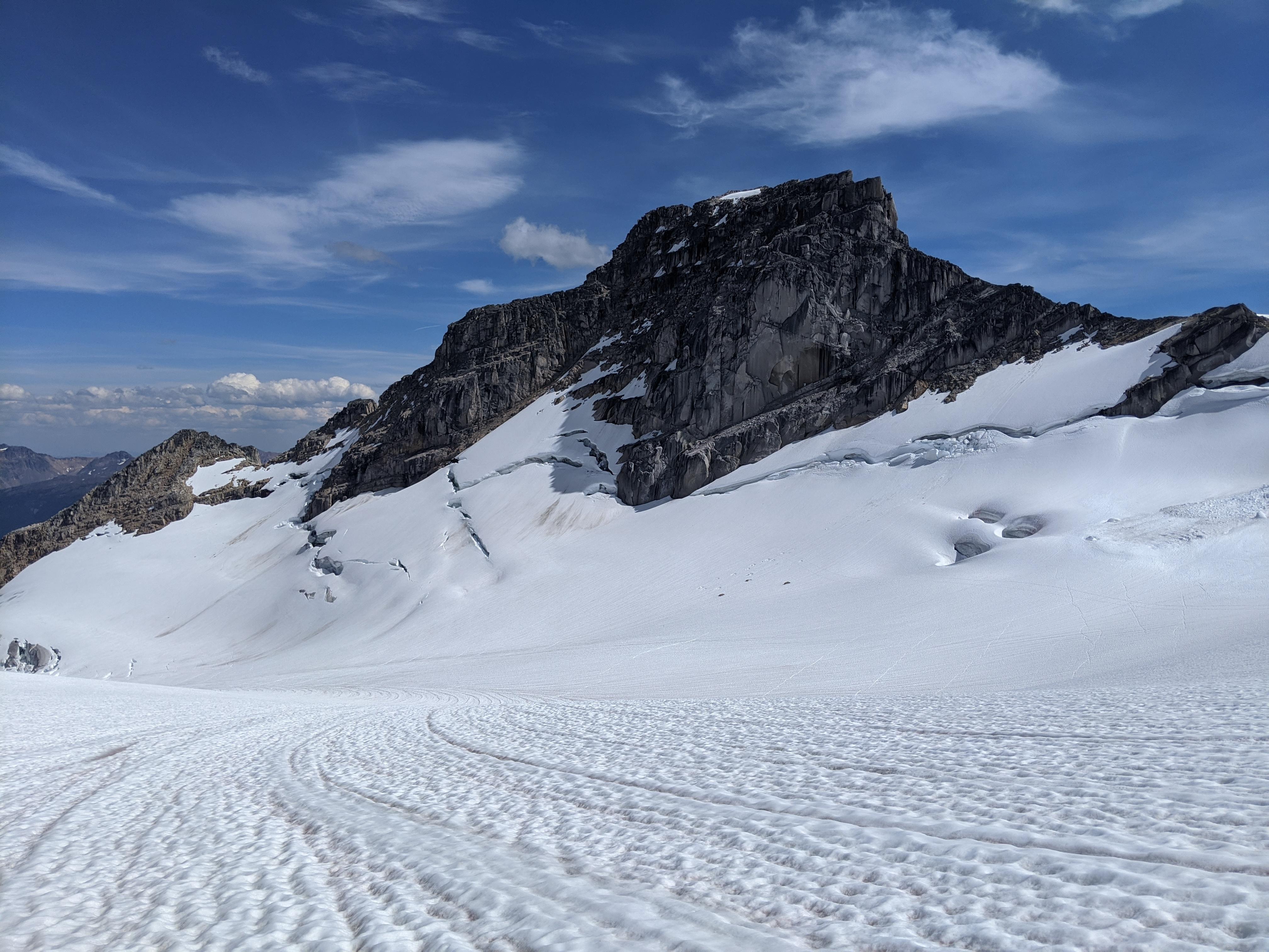
There was still a good amount of snow on the glaciers above 2500m. Despite the lack of overnight freeze, travelling conditions on the glacier were generally easy and supportive. That said, crevasse bridges were weak and opening up. Careful route selection with probing was important. The burgshrund near the West ridge of Pigeon (Vowell glacier side) was changing fast. It was opening up and the bridge was very weak, we did a little detour around the right side (below and West of main crossing) to safely gain the West ridge.
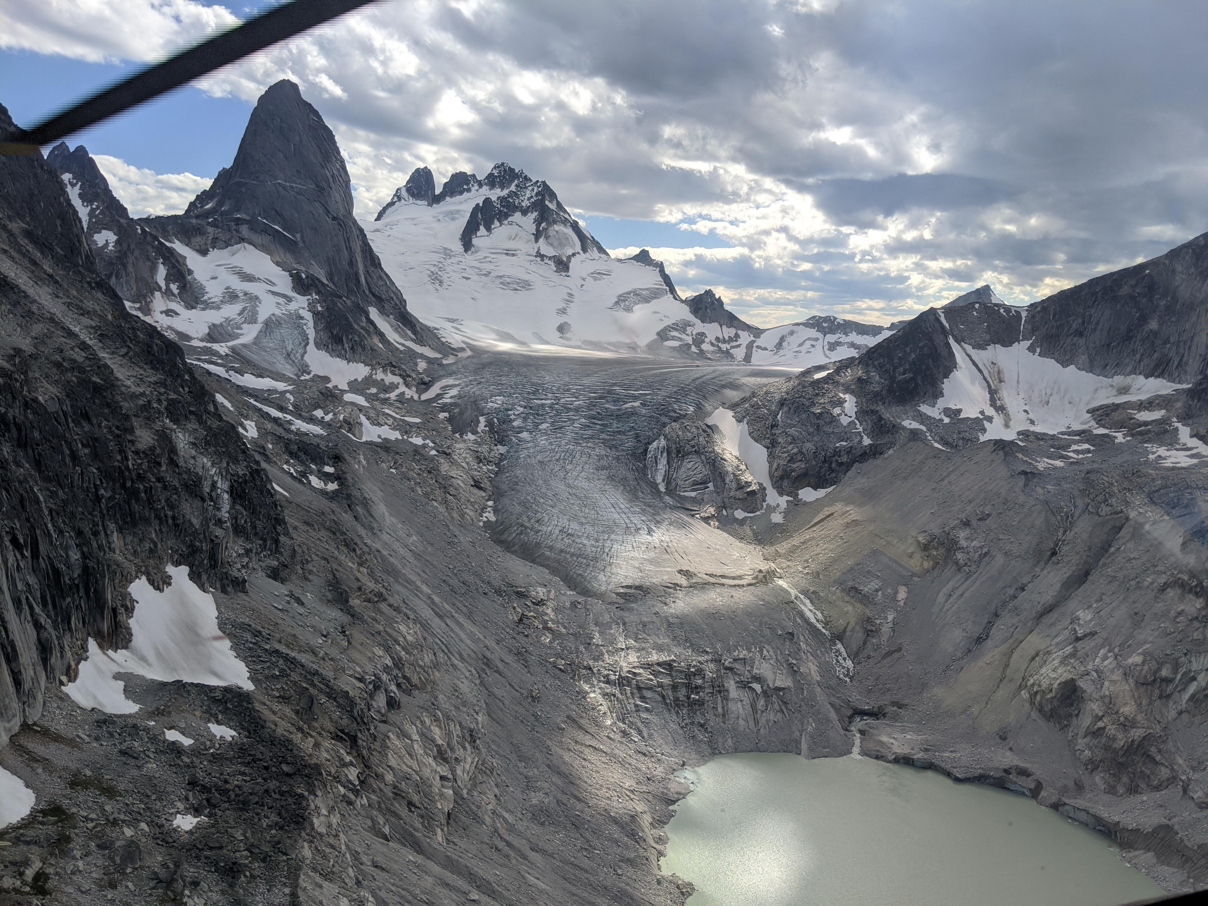
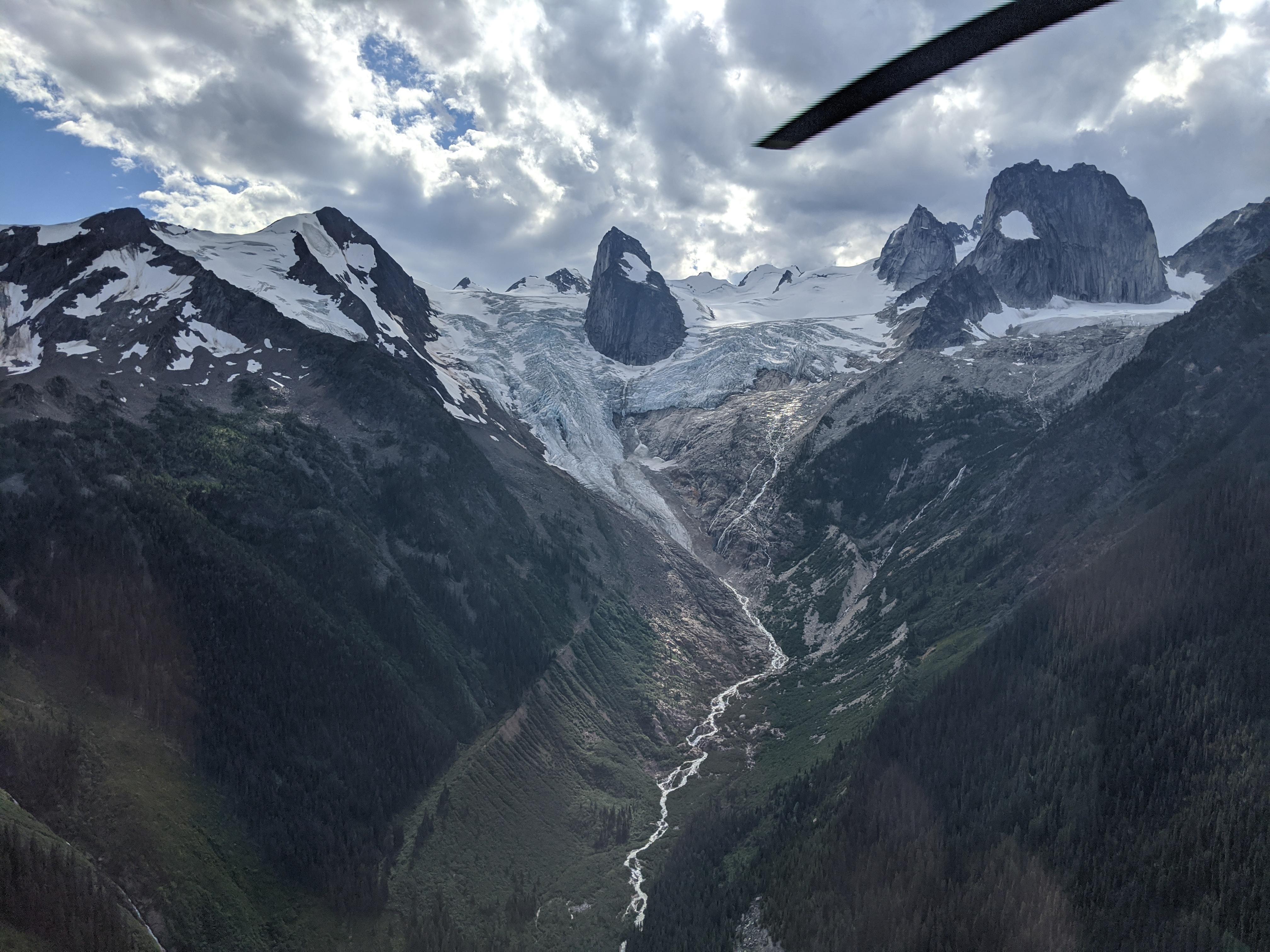
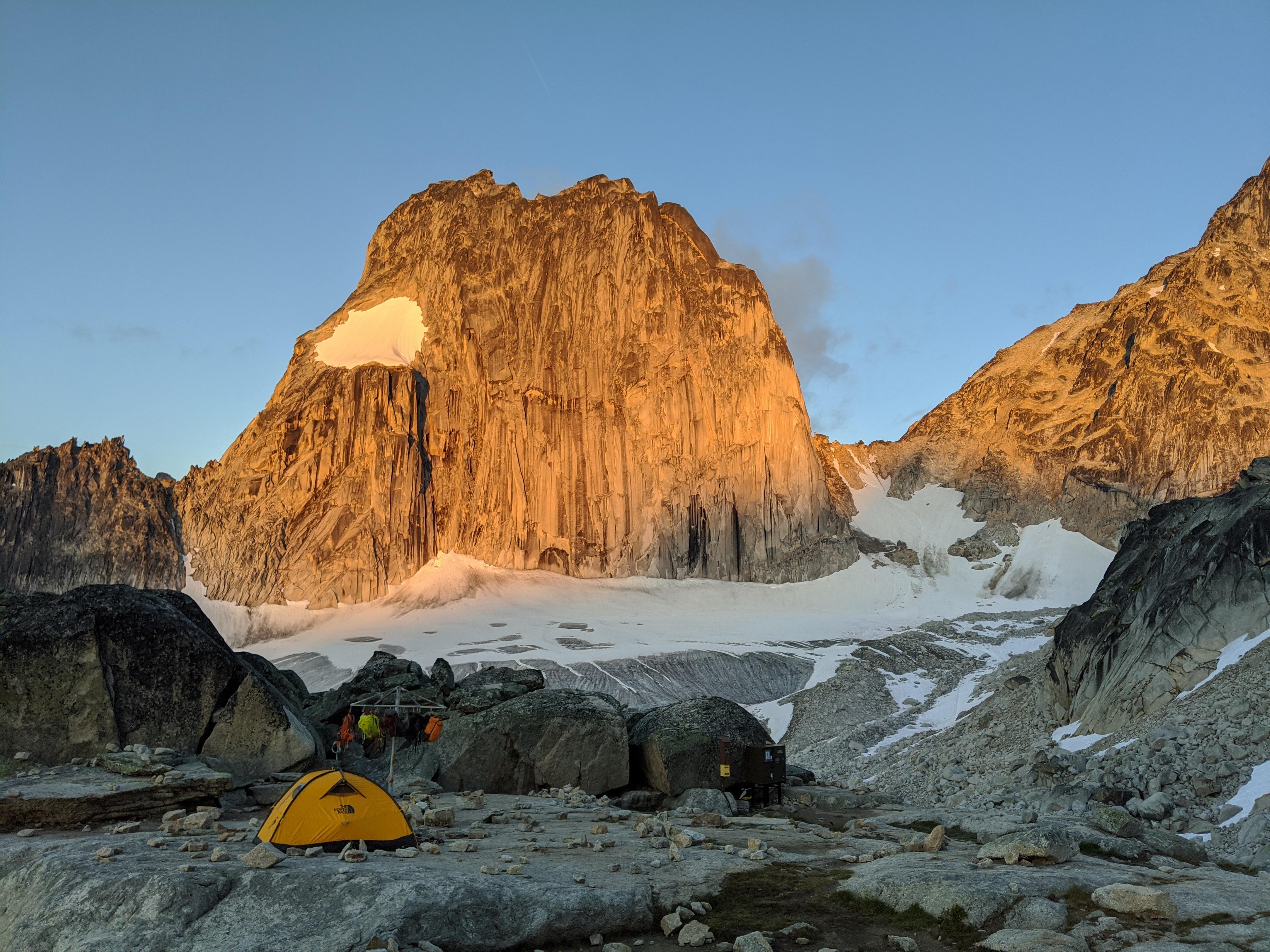
The upper Pigeon fork of the Bugaboo glacier was still mostly snow covered. We descended on the skiers right side of the central nunatak with good coverage. There was a small bare ice section near the exit ramp below the Son of Snowpatch. Although we did not travel through the Bugaboo Snowpatch Col, colleague Alex Geary reported good conditions for this time of year, see photo. The high route from Applebee to Colbalt Lake was mostly snow free and bouldery. The Cobalt glacier was easily descended on snow via the skiers left side. The Cobalt lake trail exit was in great shape.
All in all a very nice moderate way to experience this spectacular region.
David Lussier
acmg mountain guide
summitmountainguides.com