General Conditions and Hazard Summary
Climbing Conditions, Rocky Mountains Kananaskis-Lake Louise-Icefield Area

Jul 11, 2018
The ACMG Training and Assessment Program conducted a Alpine Guide Training course in the Rockies from July 3rd to 10th.
At the start of the week we travelled on rock terrain in K-country on Mt. Baldy, Mt. Lorette, and Mt. Buller as well as Mt. Norquay and Eisenhower Tower in Banff National Park.
Weather:
Weather conditions for these trips were warm with some intermittent precipitation earlier in the week. This was followed by hot and dry conditions on July 5th.
Climbing Conditions and Hazards:
The rock dried off quickly on all of our objectives and we generally found little if any snow en-route with the exception of Eisenhower Tower where a the usual snow-patch persists. Approaching Mt. Lorette we used the river crossing described as the approach to the Unicorn Canyon rock climbing area. This was exciting but manageable however we were unwilling to chance it in the pm as river levels rose about 25cm during the day. Of note on the route was the absence of one of the belay bolts atop the crux pitch which puts You on the ridge. Hazards on the other routes consisted of thinly bridged snow patches over creeks on the descents.
Next we moved to the Columbia Icefield area.
We climbed both A2 and Athabasca (via the North Face Scottish Gulley) on July 8th .
Weather:
Warm temperatures and rain to mountain top followed by cooling temperatures and drying conditions describe July 6th and 7th. Morning temperatures never dropped below freezing at campground elevations although there was good snow recovery at elevations above 3000m on July 8th. There was up to 15cm of wind deposited new snow above 2850m in wind loaded places. There was isolated pockets of wind slab that proved not to be reactive. The new snow was shedding off of the steep solar facing slopes below 2600m while temperatures remained cool above 2800m during the day.
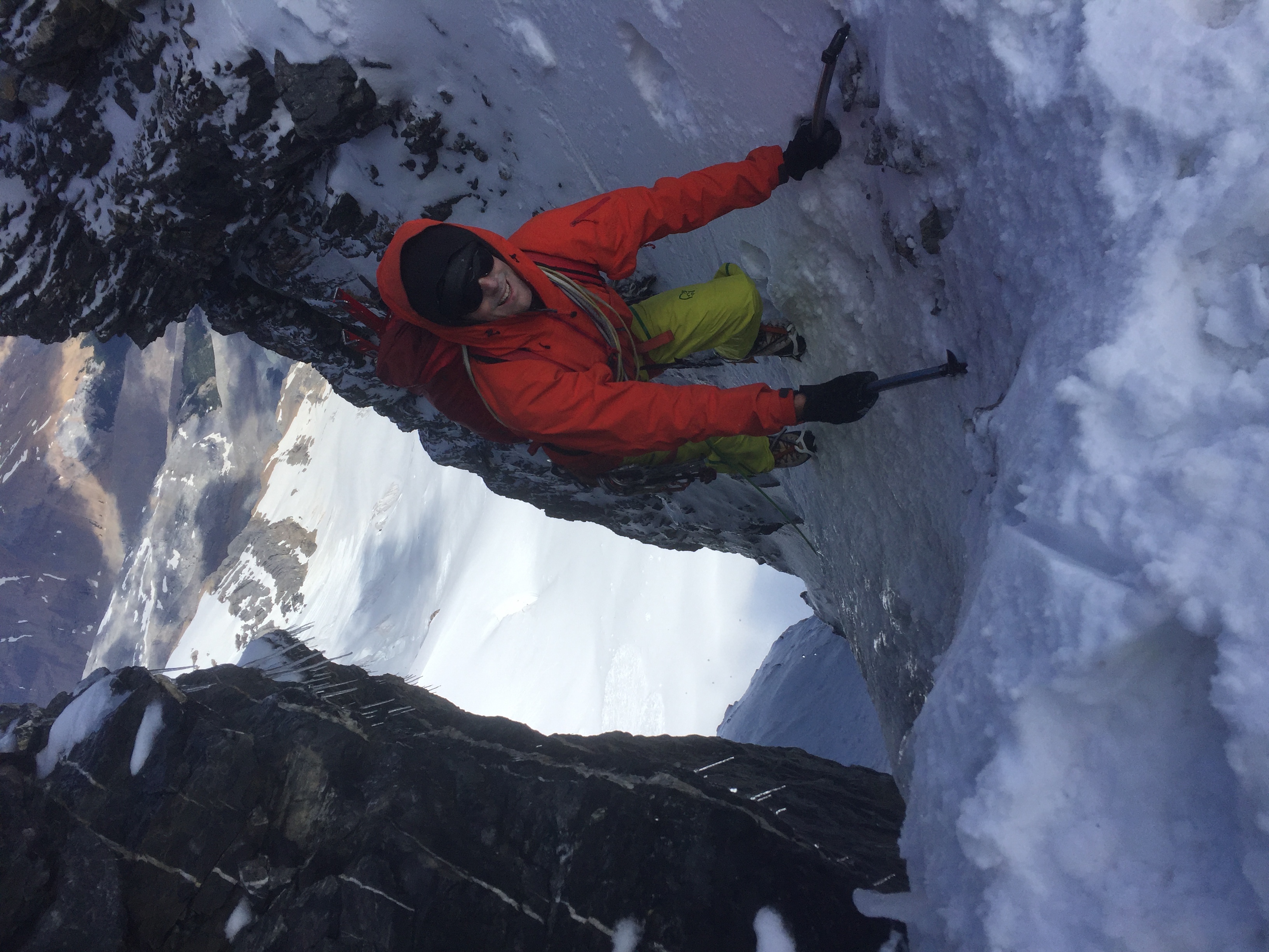
Climbing Conditions and Hazards:
Glacier travel was considered by us to be hazardous as the snowpack was very weak and unsupportive below 2800m. This is also where the remaining 100cm or so of snow exists. Below that elevation the snowpack tapers significantly with elevation and location. 20-30cm of snow exists over glacier ice on the couloirs of the AA col which remained cool at 1300hrs during our descent. The Scottish Gully was in thin shape in the lower half with snow on rock and improved to ice in the upper half. The upper ridge was snow covered and provided good mixed rock and ice conditions. The ridge line of the regular route on A2 was snow free. Frequent icefall avalanches were noted in the surrounding area during our days as was the constant threat of rockfall on the lower glaciers which are studded with exposed rocks.
For the last two days we travelled up both the Perren and Schisser Ledges routes to the Neil Colgan Hut in the Lake Louise group.
We ascended the East Ridge and West Ridges of Mt. Little as well as made an attempt on the West Ridge of Mt. Fay on July 10th.
Weather:
Day one provided warm temperatures and clear skies. On the 10th the weather deteriorated into rain showers, and persistent warm temperatures hovering around plus 5 at the hut at 0400hrs.
Climbing Conditions and Hazards:
Overall the rock was dry, snow free and loose as expected. Glacier travel was still straightforward despite moist snow and we probed between 30cm and 100cm of snow on the glacier en-route to the hut. The moist snow was easily triggered into isothermal loose wet avalanches up to size 1.5 in steep rocky solar terrain. On July 10th on our approach to the West Ridge of Mt. Fay we found a moist and weak snowpack on both ice slopes that access the West Ridge. Bergshrund crossings were still mostly straightforward despite the lack of overnight freeze but it seems like those conditions won't last for long. The incoming weather and lack of strong snowpack convinced us to make a hasty descent down the Perren Route which still holds snow in the usual spots. All hardware on the descent seemed to be in good shape. The same cannot be said for the river crossing at the head of Moraine Lake. The main log in still hanging in there as is the dead tree which supports the midway of the cable span.
Darek Glowacki ACMG Mountain Guide TAP Instructor, on behalf of the ACMG Alpine Guide Training students.