Exploratory backpacking close to Canmore
Yamnuska - South Ghost - Stenton Lake - Carrot Creek

May 17, 2023
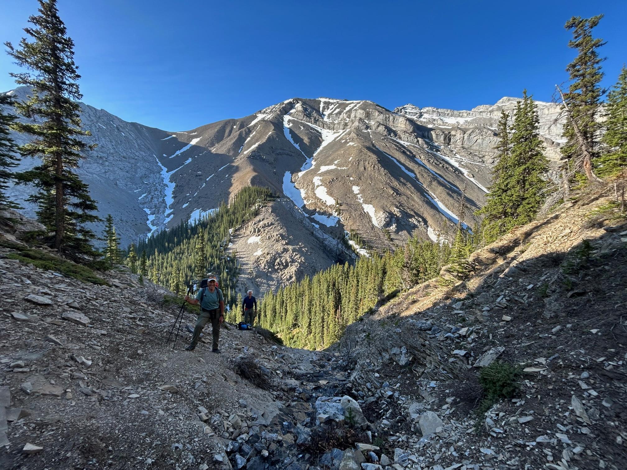
We took advantage of the smoke free days Sunday and Monday for a 2 day exploratory backpacking trip from the Yamnuska Parking via Association Pass - South Ghost River - Stenton Lake - Carrot Creek trailhead at Hwy1. The trails where largely snow free and dry (too dry!) except for the head waters of the South Ghost river around Stenton Lake, where (wind loaded) east and northerly aspects are still caked in isothermal snow. Generally, it seems we are a month ahead in terms of residual summer snow coverage right now.
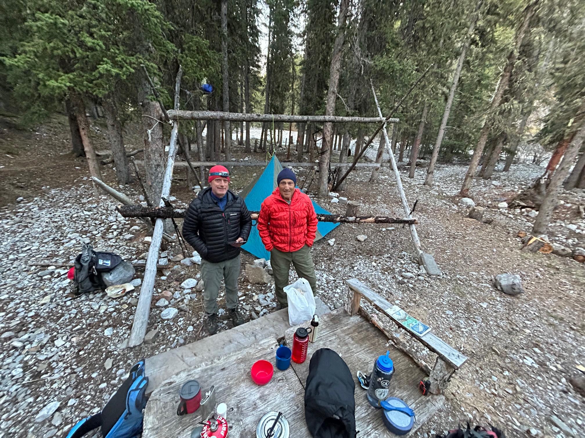
The trails on the Albertan Open Lands side were in surprisingly good shape with occasional dead fall but still good for fast travel all the way to Guinn's Camp in the upper South Ghost River about 28km and 1300 vertical meters from the starting point. With the Cougar Creek exit still closed for ongoing flood mitigation construction work and less than encouraging reports about exiting via Exshaw Creek we opted to exit from South Ghost Pass via Carrot Creek. It turned out to be very laborious! For the 11 km descent from the pass to the highway it took 3 seasoned "bushwackers" over 7 hrs. The old Parks trail, wherever it has not been washed away by the 2013 floods, has not been maintained (in accordance with the 1997 Banff Park Management Plan) and requires climbing over endless deadfall. Not recommended! The trail eventually becomes good starting at the rock climbing area with about 3 km left to the road but still features lots of river crossings on some narrow balance beams.
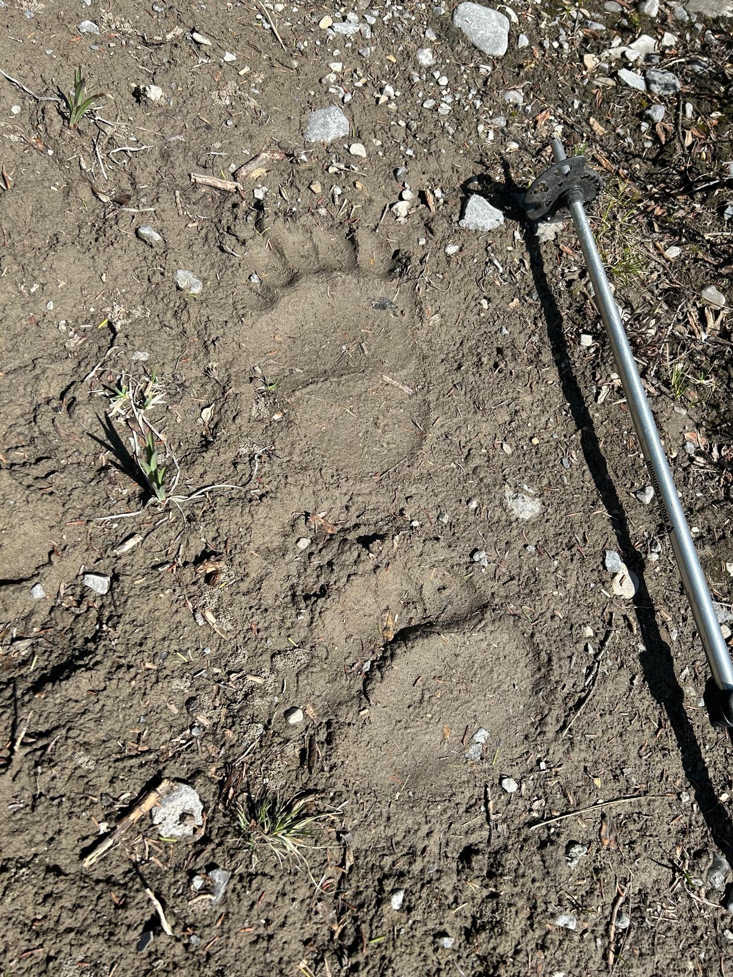
Overall a very scenic trip devoid of fellow humans and larger wildlife - we only saw some enormous bear paw prints in the lower parts of the South Ghost River.