
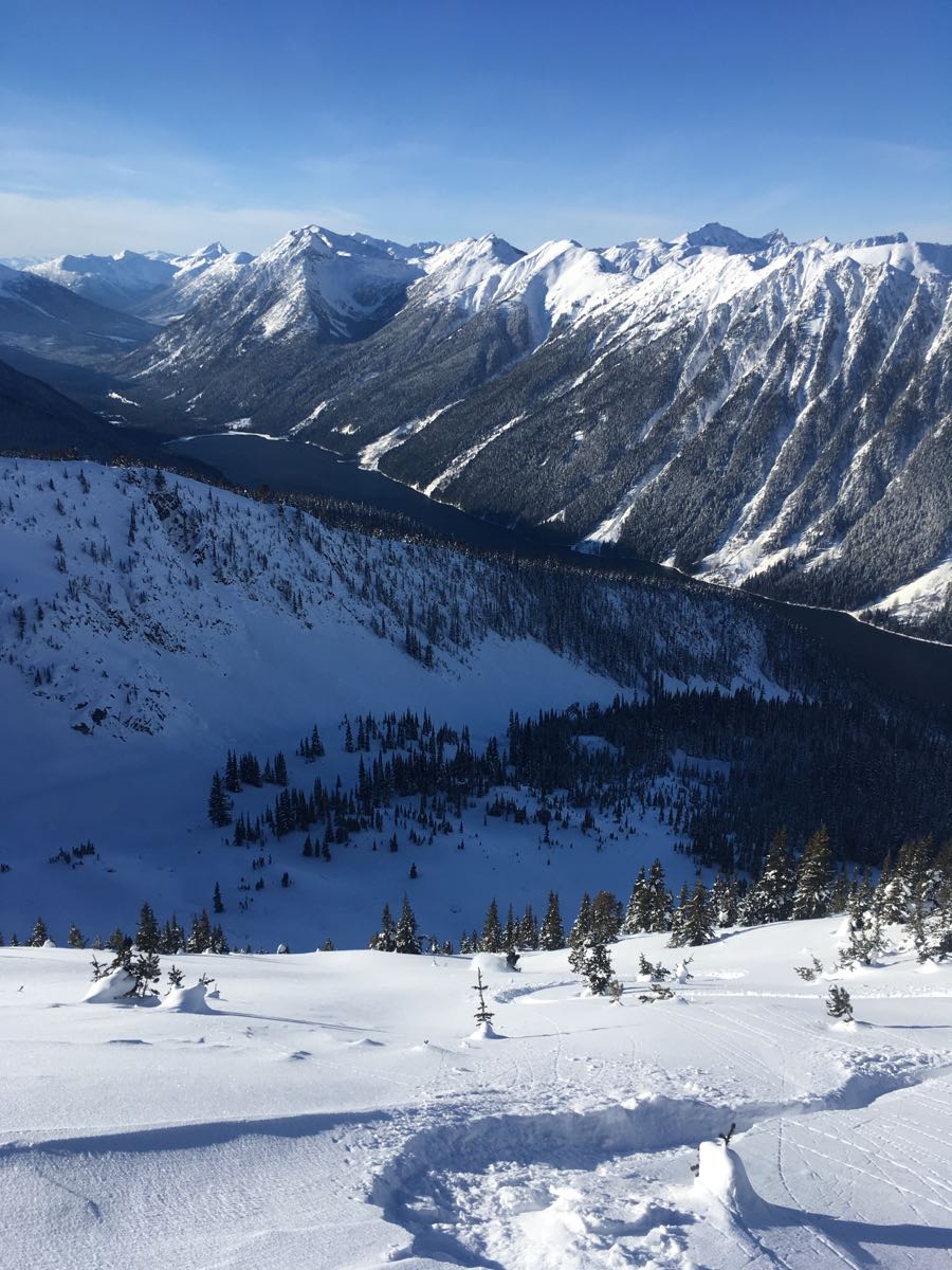
Skied up towards Blowdown Peak today. Strong northeast winds were blowing large plumes of snow off of peaks and ridges on the south side of the Duffy Lake Road except for the Blowdown Peak area. Here we saw 2-3 mm surface hoar sitting on top of 20cm of low density snow starting to facet which overlies a layer of surface hoar 2-3mm at 1930m NW aspect. No results yet on this layer as there was not enough load or cohesion above, although the top 20cm sluffed easily in steeper terrain in reaction to skier traffic. Below this, the snowpack resistances increase gradually to the crust down 75cm. Facets forming on the crust, yet no results on this interface. The height of snow at the profile site was 130cm and still variable in other areas. In shallow, rocky and wind scoured areas, faceting was prominent at the basal interface. In the alpine the snow surface had variable wind effect in specific areas with some windslab formation now hidden by redistributed snow.
Skies were clear, -18 and ridge top winds were light from the southeast. No new avalanches observed.
Stay warm out there!
On The Map
These observations and opinions are those of the person who submitted them. The ACMG and its members take no responsibility for errors, omissions, or lapses in continuity. Conditions differ greatly over time and space due to the variable nature of mountain weather and terrain. Application of this information provides no guarantee of increased safety. Do not use the Mountain Conditions Report as the sole factor in planning trips or making decisions in the field.