Hi all,
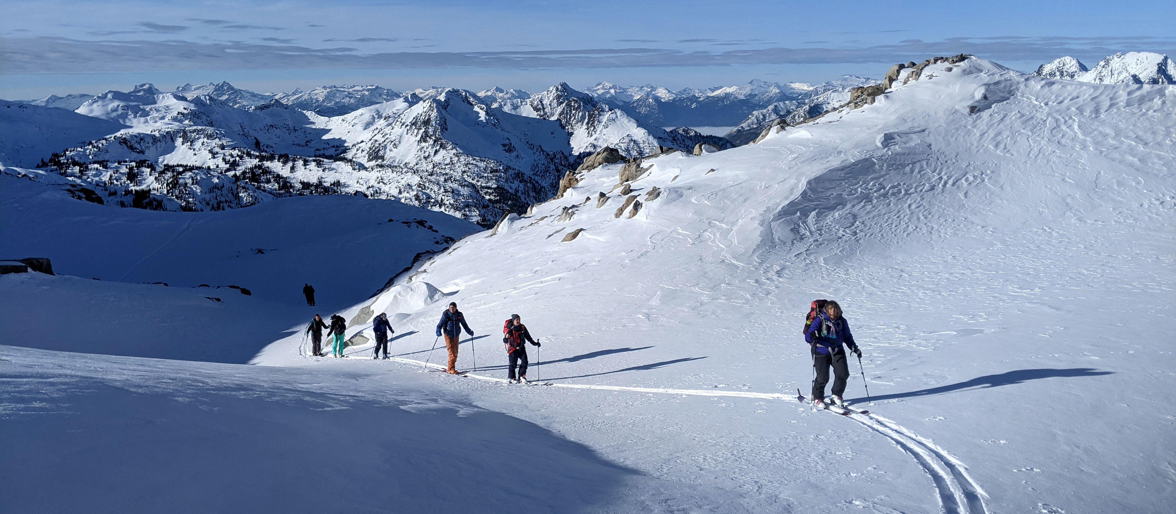
I just spent Dec 5-12, 2020 guiding and instructing out of the Kokanee Glacier Chalet in the West Kootenays of Southeastern BC. During the week we skied in the headwaters of Enterprise creek, Kokanee creek and Keen creek between 2800m and 1900m on all aspects.
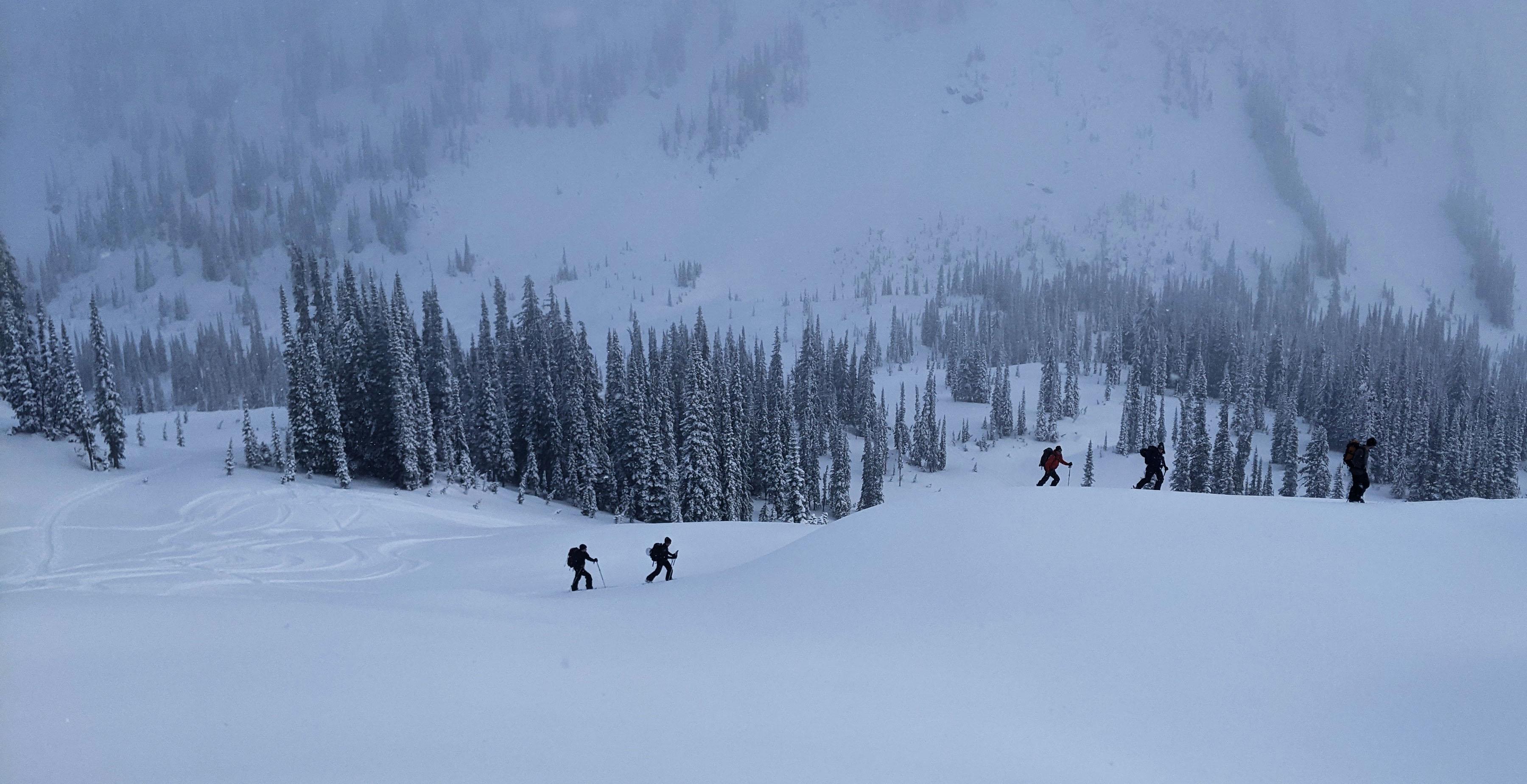
We had a mixed of sun and clouds most of the week except for Tuesday-Wednesday when obscured skies prevailed as a small occluded frontal system moved through the area. The precipitation associated with this front started as a freezing rain on Tuesday and changed to snow overnight. By the end of the day on Wednesday roughly 15cm of moderately dense and evenly distributed snow had fallen on top of the crust. Winds were light to moderate from the West while the front passed otherwise generally light or calm. Temperatures were mild early in the week with freezing levels hovering at Chalet level (1975m) and down to -22C overnight later in the week.
The snowpack height at the Chalet was 112cm by the end of the week. We measured an average treeline snowpack height of 140cm and 150-170cm cm on the Kokanee glacier. Some of the local alpine areas between 2600m and 2300m had previously been blasted by winds earlier in December leaving very thin snowpack in exposed areas and deeper snow in lee areas. The November 5th crust was 80-100cm below the surface and the November 19th layer down about 45-60cm down. The November 30th surface hoar layer was down about 25-35cm and some decomposing crystals to 4mm were found here. Snowpack tests gave consistent hard resistant shears or no results on all the various suspect layers. The top 30cm of the snowpack now consist of 15cm of low density and faceted snow overlying the December 8 freezing rain crust (3-10mm thick) which appear to be bonding well to previous storm snow and layers currently. There are a few layers to watch for in the top 30cm including facets, crusts, and surface hoar. These layers will become a growing concern with more load.
Avalanche wise, we did not see any new avalanches during the week. That said, we saw evidence of a natural cycle from the previous week’s high pressure and temperature inversion out of solar aspects to sz 2.5. By the end of our week, the top 10-15cm was very faceted and starting to slough while skiing steeper terrain. Otherwise, we did not see any signs of instability throughout the week.
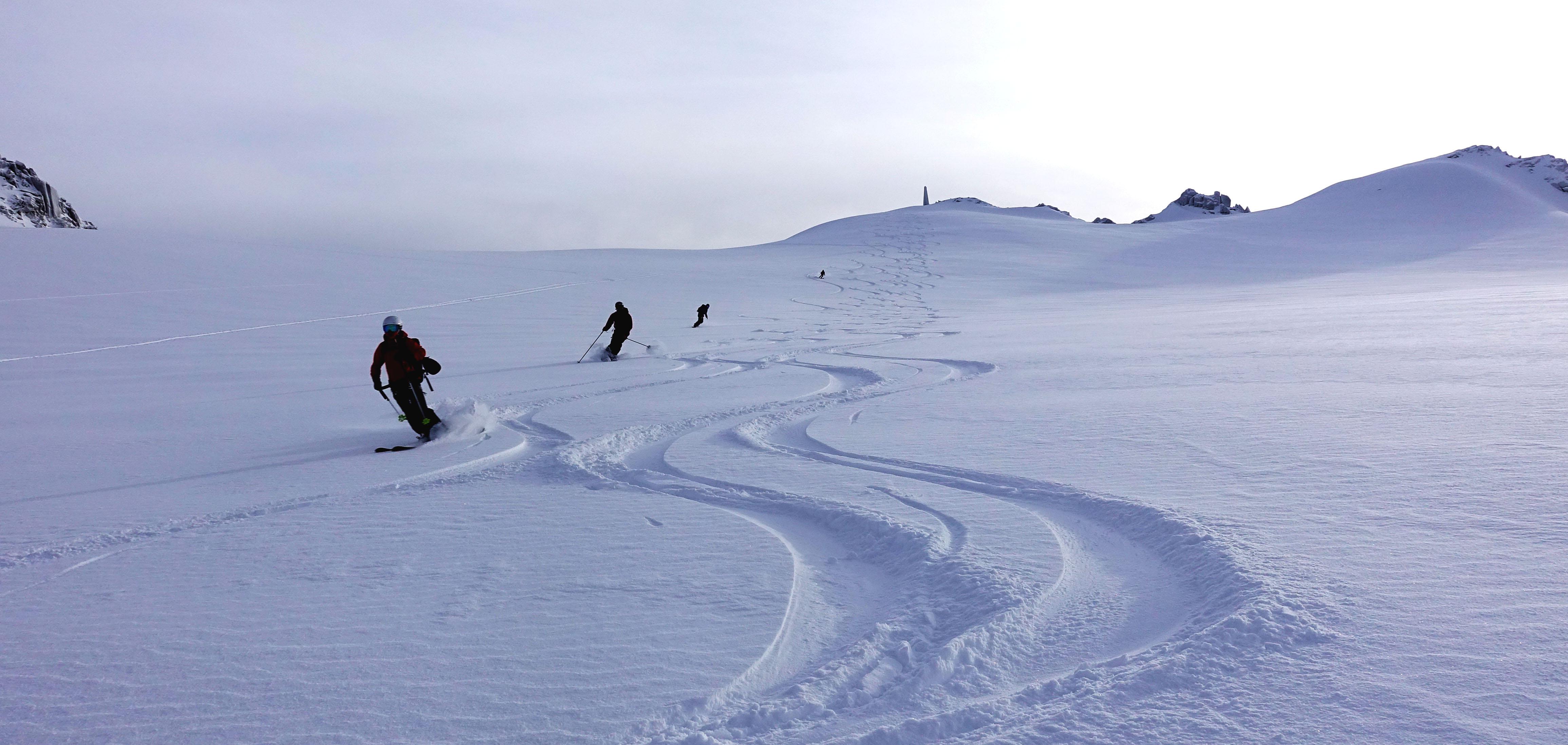
Ski quality was generally good except for Tuesday. Ski penetration was around 10-15cm most of the week making for fast travel and dynamic skiing. The snowpack was quite firm for an early season snowpack with many parts of the mid and lower pack in the pencil hardness range. This gave confidence with crevasse bridge on the Kokanee glacier.
All in all, a great early season week in the mountain!
Cheers,
David Lussier
Mountain Guide
summitmountainguides.com