On September 15-18, myself and twelve participants of the Yamnuska Mountain Skills Semester completed the Cougar Creek – Exshaw Pass route.
On the first day, we hiked up the Cougar Creek drainage, and took the left junction at Canadian Forks. Within an hour, we branched up the large drainage to the west which we followed to upper Cougar Creek. We set up camp just past a large scree slide at GR192676, where we found reliable water and good ground to set up our tents. Going up creek the creek bed was quite rocky and full of large boulders and debris from the 2013 flood. Several small waterfalls were encountered en route, which can be navigated by heading out of the creek bed to the left. The snowfall on the morning and afternoon of the 15th made the rocks slippery and the travel slow.
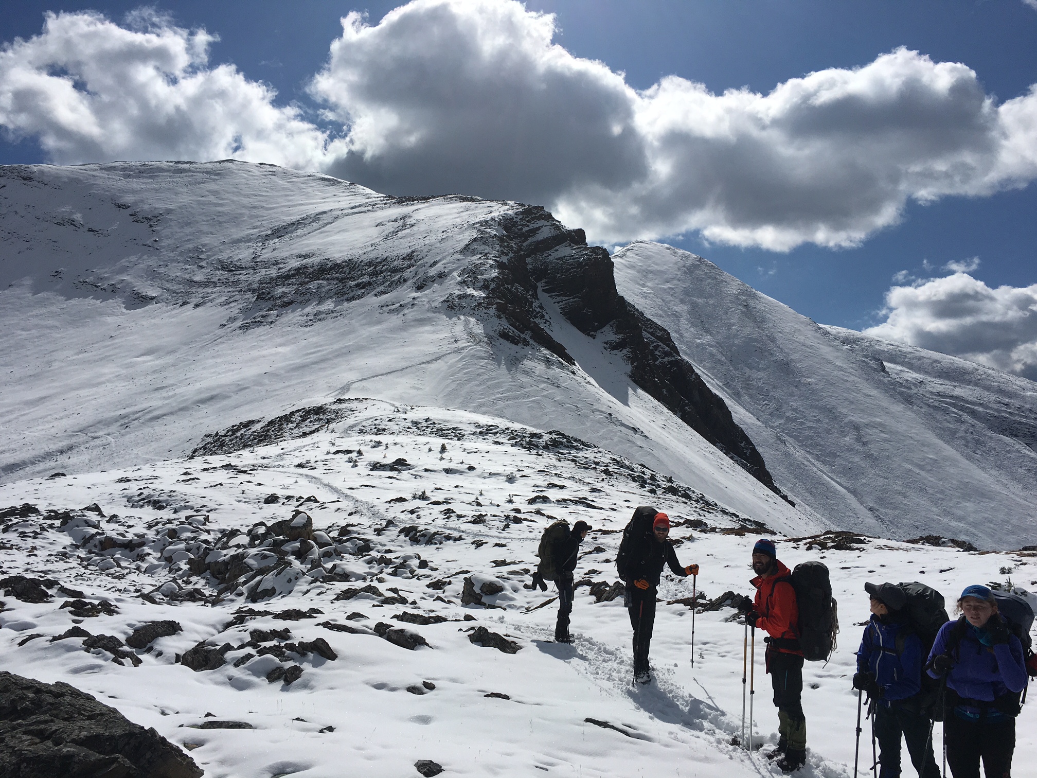
From there, we continued up Cougar Creek to Cougar-Carrot Col. We followed the Parks boundary along the ridgeline and over the 2600m peak at GR195688 until dropping down into South Ghost Pass. From South Ghost Pass we followed a well defined and easily followed trail along the tree line which led us to “Guinn’s Camp” at GR227727. Getting up to the Cougar-Carrot col was slippery in spots on south facing grass slopes. At the col, we encountered up to 15 cm of snow, and at the summit we traveled through sections of wind deposited snow up to 40 cm deep. Once we gained the broad ridge west of Senton Lake, snow depth decreased and travel became much easier.
From Guinn’s camp, the group hiked up to Exshaw Pass via the Exshaw High Col before dropping into the Exshaw Creek drainage. The trail departing Guinn’s camp is convoluted and obscured by the recent snowfall. Occasional blazes and sawed-off branches will help you navigate this section. At the end of the trail, we dropped into the drainage leading up to the Exshaw High col, which we followed to the top. A good scree slope made for easy travel descending from Exshaw Pass into the creek bed. The hike out to Exshaw via Exshaw Creek is straightforward, although you may have to exit the creek on occasion to avoid dead-fall.
Nathan Dahl, HG
Yamnuska Mountain Adventures