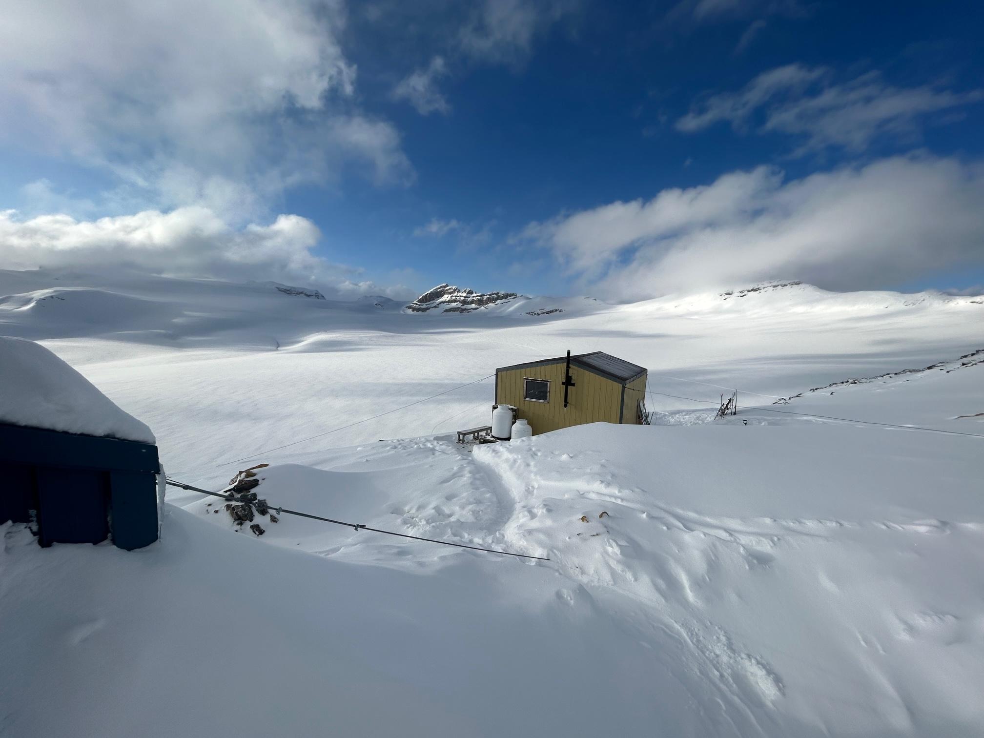
Returned yesterday Sat Apr 15 from a 3 day / 2 night trip to Scott Duncan Hut, which we approached and exited via Sherbrook Lake / Schiesser-Lomas Route. The original plan to ski out the Waputik Glacier to Hector Lake was abandoned yesterday due to bad viz. Hut was at capacity both nights and everyone worked together to make things work with staggered dinner prep and departures.
Avalanche Obs / Snowpack:
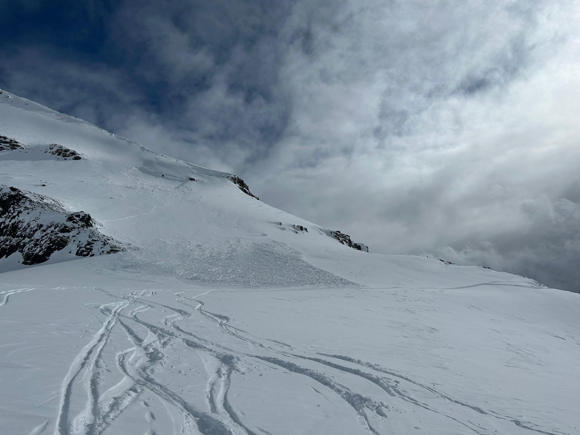
There was a massive cycle during the last, warm storm with mainly wind-loaded and cross loaded features that had released, some to ground on basal facets, such as the west face of Mount Daly with slides to sz. 2.5 that ran into flat terrain commonly used to travel between SD Hut and Niles Col. There was also a sz. 1.5 windslab out (see image) with the debris reaching into the ascent route right before the hut. The slope appears to have become steeper and more committing in recent years. On southerly aspects we experienced massive whumpfs, suspecting settlement on facets between sun crusts and in one case on low angle, alpine terrain on the basal facets. On the good side, the recent 30 cm storm slab seemed to bond well on steeper northern aspects we skied.
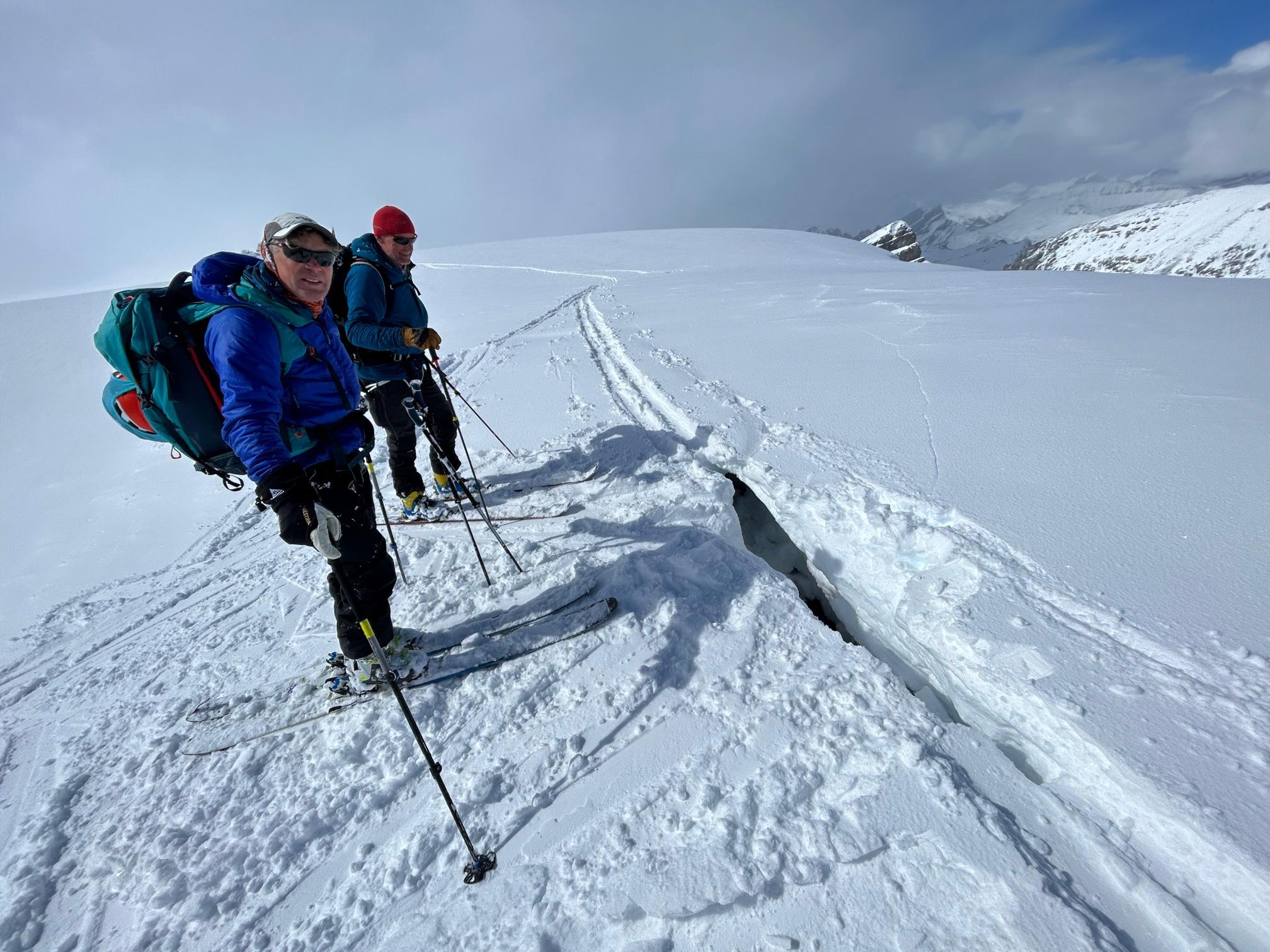
Cornice - Close call:
Approaching a low angle view point above the Waputik Glacier between Liliput and Daly (see image), one of the group members was leading the way. I suggested to stay further away (west) of the drop off and added a second track on the wind-ward side in more inclined terrain . Walking back, one of the participants used the original track again and suddenly broke through with one ski / foot into a mote that had formed between the cornice and the rocky edge. This was an estimated 7-10 meters from the dropoff! Fortunately, he did not go in deep and he could roll out sideways with a bit of help. I prefer not to imagine what could have happened had the cornice released. Notice the thin settlement crack that extended from the hole on the attached image. Cornices are huge this year and deserve a wider than usual berth even at the cost of good views!