The ACMG Training and Assessment Program conducted a Apprentice Ski Guide exam in the Battle Mountain area of the central Selkirk Mountains. The following is a summary of ski and avalanche conditions during the past week.
70 cm of snow fell from Sunday to Tuesday with moderate to strong SW winds over the March 30 crust, settling to 30cm by the end of week. Wednesday was clear and cool. Thursday and Friday were overcast and warm with the freezing level rising above 2200m on Thursday without good overnight crust recovery for Friday. The top 50cm below the surface was moist below treeline by Friday afternoon, with dust on crust conditions encountered on Saturday morning.
Ski quality was excellent at the beginning of the week with good snow in most areas except where affected by the sun in treeline and below. The mid week storm created some upside down feeling in the surface snow especially where affected by the wind, very deep trail breaking and good powder skiing in sheltered areas. The upper snowpack began settling with the clear day on Wednesday and we found good skiing in the alpine. The surface became moist on solar aspects in the afternoon Treeline and below. The intense warming on Thursday created moist snow on all aspects below 2100m, this became a breakable crust on Friday making for very poor ski quality. Refreeze Friday night provided a supportive crust followed by 5-10cm of dry snow greatly improving the ski quality on Saturday.
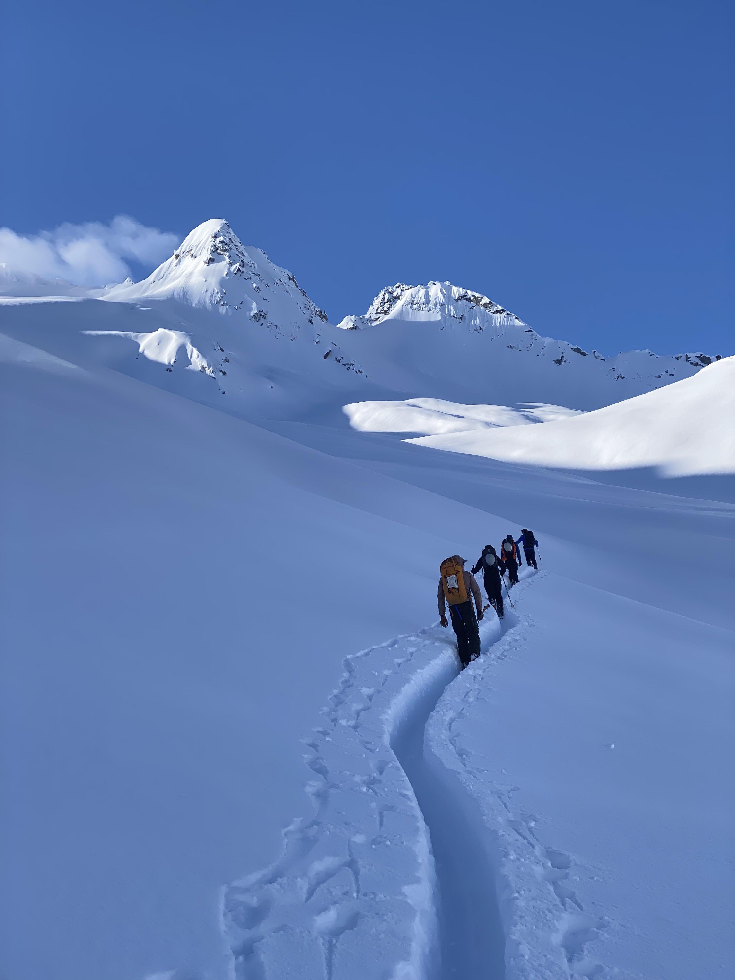
We travelled through a variety of terrain from steep trees to open alpine slopes with some short pitches up to 40 degrees. We avoided areas where wind-slab was present, large overhead slopes, and convex rolls as we let the early week storm settle out.
Storm slabs were reactive to human-triggering, failing on the March 30th melt-freeze crust after the initial early in the week snowfall. As skies cleared on Wednesday, we saw evidence of the widespread natural avalanche cycle from the past 2 days. Wind slabs and cornice failures were observed up to size 2.5 on N-NE aspects in the alpine. We saw near-daily wet loose avalanche activity up to size 1.5 on steep solar aspects in the afternoon. Numerous natural cornice failures up to size 2.5 were observed during the week as well.
Monday’s storm spiked the hazard for a brief period and then we settled back into our spring pattern for the rest of the week. Lower hazard in the morning that increased throughout the day with warming and solar input. While travelling, we avoided overhead exposure to cornices, solar aspects in the afternoon, and investigated wind slabs in lee features.
Overall and excellent week to be out in the mountains with convective flurries creating excellent ski conditions especially on shaded alpine slopes.
Darek Glowacki on behalf of the Apprentice Ski Guide Candidates