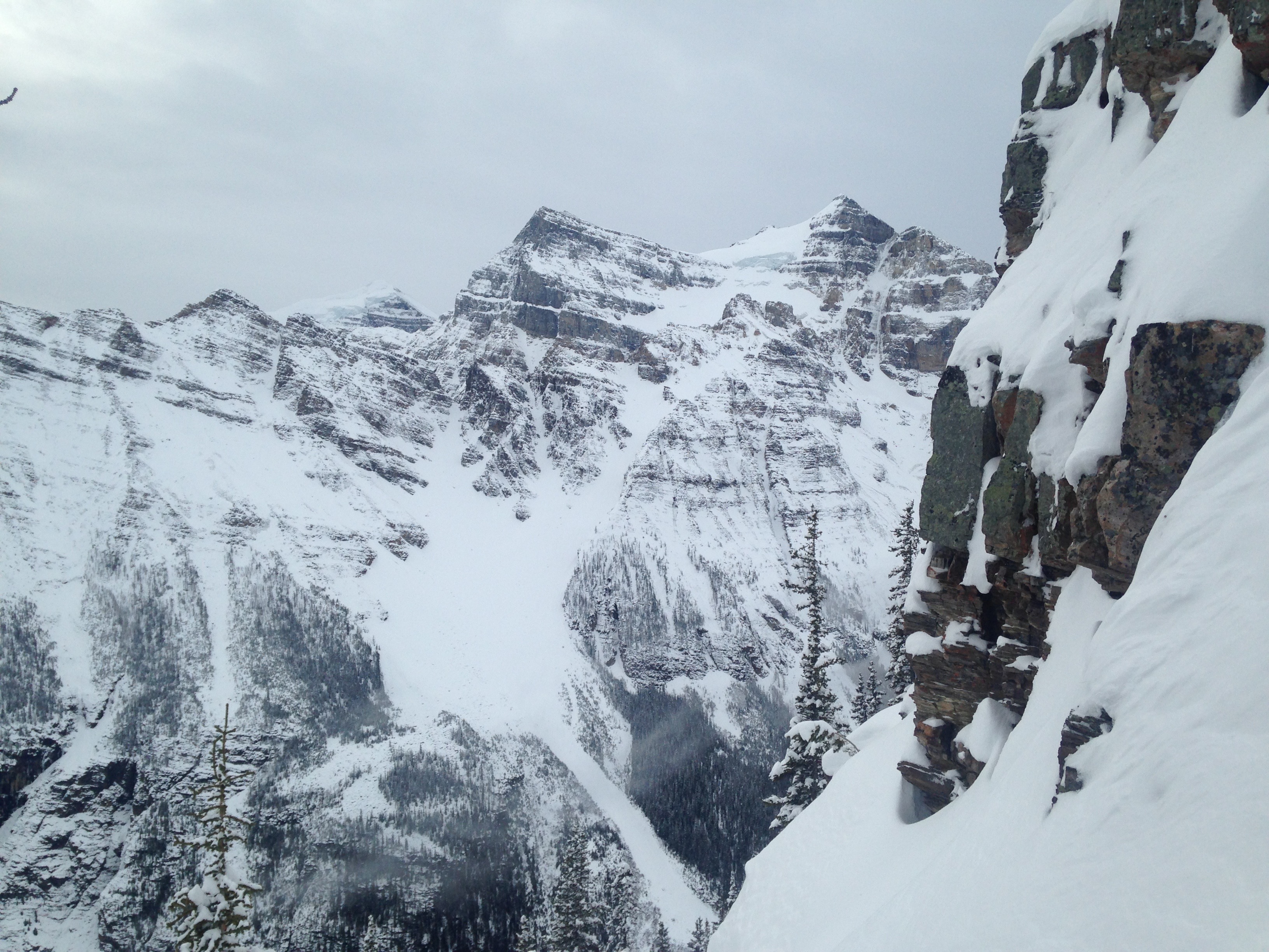
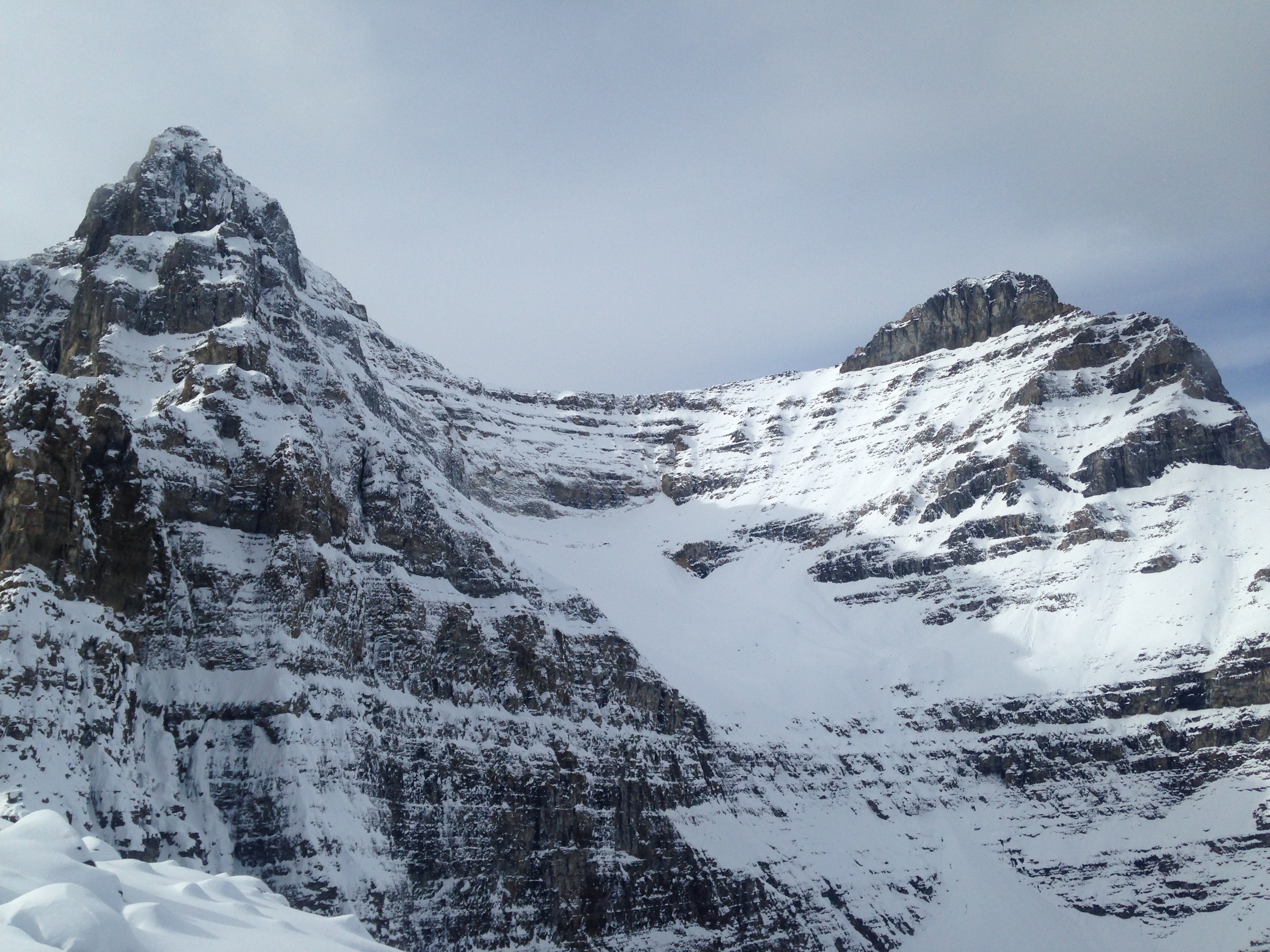
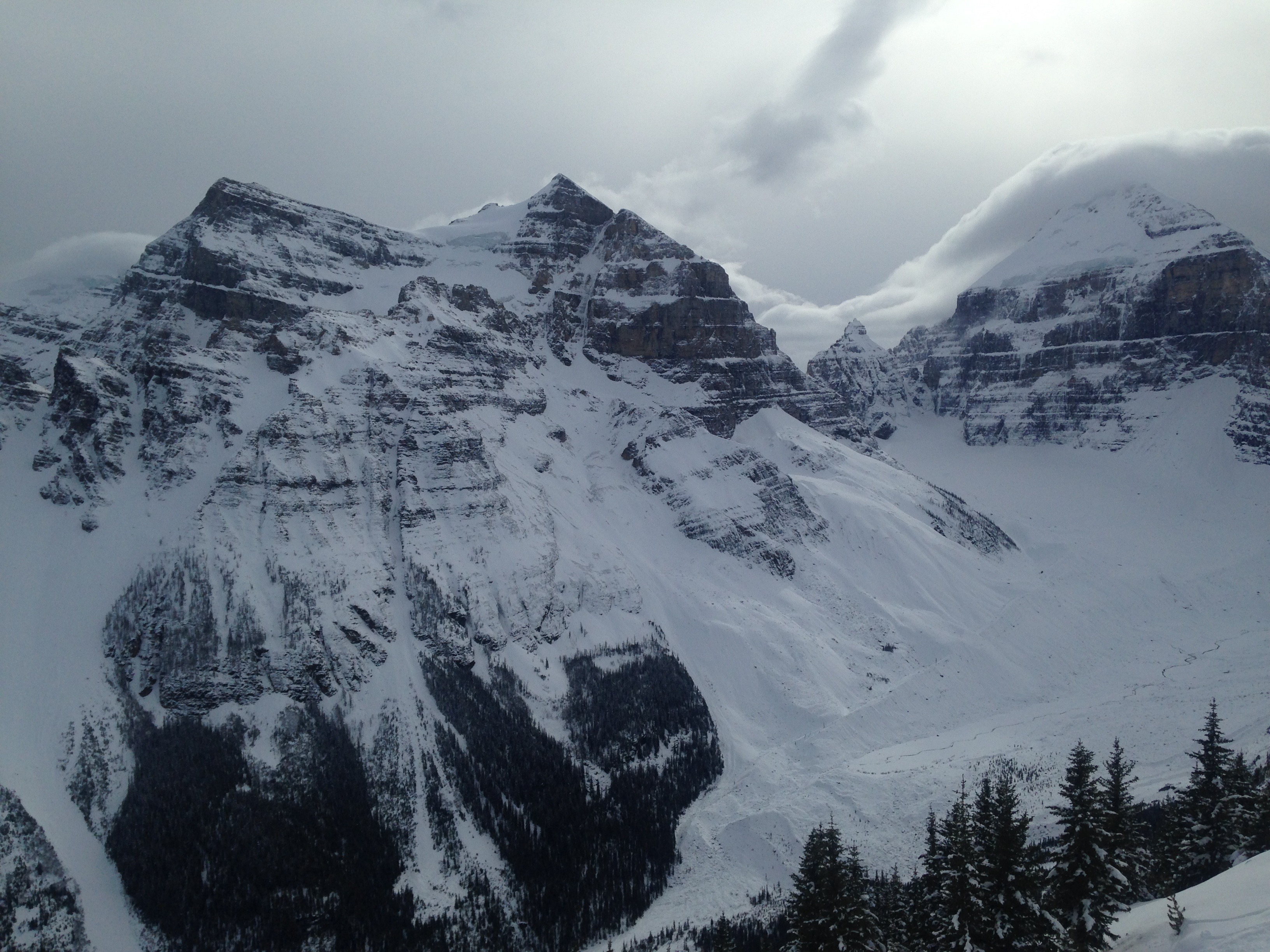
My quest and I started out for Mt Whyte yesterday, October 17th, but within 20 metres of leaving the hard packed trail leading to the Big Beehive (folks are still hiking up there) we realized that without snow shoes we wouldn't be getting to Mt Whyte through the knee deep snow. 10 days earlier, on October 7th, practicum guide, Dean Flick, my guest and I had been able to climb Mt Niblock in shin deep snow but the snow had been dry powder. Last Wednesday, October 12th, myself and five other Yamnuska Mountain Adventure guides succeeded in climbing Boundary Peak (2 parties) and A2 (4 parties) at the Columbia Icefields. We plowed through a lot of shin and knee deep powder that sat on a consolidated base (not enough to ski or board on despite some folks trying). It was great having lots of legs to put out front. Yesterday the snow had accumulated enough to form a typical early winter snowpack with power sitting on a firm mid pack then some weakness at the ground. Southerly aspects were firmer and felt like whale blubber in the afternoon warmth, northerly aspects remained dry and powdery. We saw no evidence of slab avalanches, but a fair amount of surface sloughing on all aspects none of it big enough to bury more than your dog.
We took advantage of the trail to the col between the Big Beehive and Devil's Thumb and then climbed the quartzite steps on the east ridge of the Devil's Thumb. The rock was blanketed in snow and fun novice/intermediate mixed climbing done in crampons and two alpine tools for me in the lead and a single mountaineering axe for my guest. We had a rack of 6 nuts, 5 cams and 1 knifeblade piton and we used all of it. There wasn't a lick of ice. We descended the normal hiking route down the west slopes and there was enough snow to start a slab avalanche at the col between the Devil's Thumb and the Three Needles, but the danger was low. That col is the start zone for an avalanche path that runs down to the valley floor above Lake Louise (600 meters, big country!). I know that with more snow and any more danger I would retreat by rappelling our route of ascent.
The trail down from Lake Agnes had patches of ice and was moist so I'm sure it will be slippery before it snows again, I'd take traction devices if I was hiking up there today.
Happy trails,
Barry Blanchard
Mountain Guide
Yamnuska Mountain Adventures