Backpacking into Bryant Lake
Fisher Range, Elbow Sheep Wildland Provincial Park, Kananaskis Alberta

Jul 6, 2020
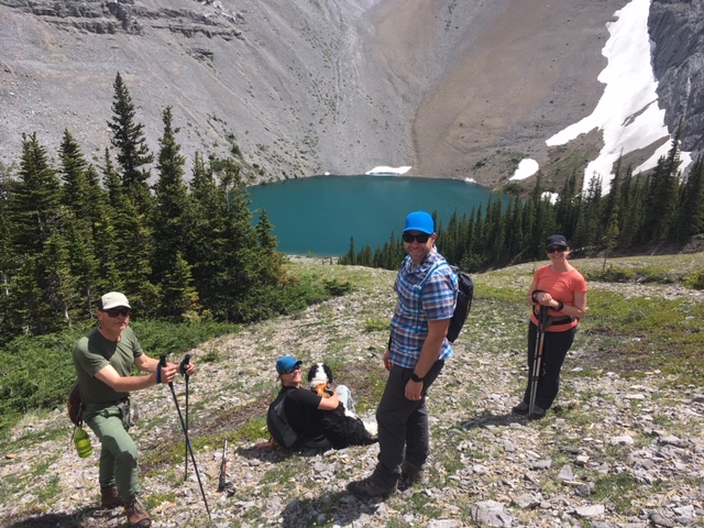
3 ACMG Hiking Guides (2 HG & 1 AHG), their spouses, canine kid and a friend, hiked into Bryant Lake on a 3 day backpacking trip. We started at the Canyon Creek trailhead and hiked in via the creek bed 3/4 of the way. On the way in we had to cross the creek several times, but on the way out the water dried up and travel was much easier (although difficult as hiking is on all the cobbles).
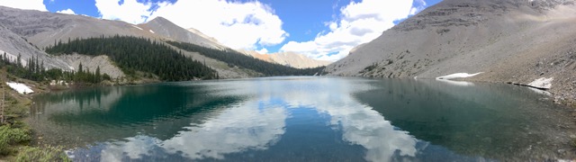
Bryant Lake falls within the Elbow Sheep Wildland Provincial Park, so random camping is (unfortunately) allowed. There are 3 - 4 primitive camping sites at the front of the lake and 3 - 4 primitive sites at the back, with a few other scattered sites within the area. Unfortunately, this means that there are multiple fire rings and garbage, toilet paper, etc. left behind from less respectful backcountry enthusiasts (we did our best to collect, burn or pack out what we could). Dead fall is available for fires, yet people continue to chop down and burn green trees...
There was another group of about 10 from the Calgary Outdoor Club (a bit too large of a group in my opinion for the amount of campsites available - that could accommodate such a large group), and a few other couples that spent the one night at the lake. We had the area to ourselves for the 2nd night.
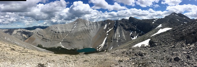
Several scrambles of varying difficulty are within the area (the most popular being Mount Bryant). We decided to scramble up a much easier route to the ridge between Bryant Summits 5 & 6. It was a fairly easy scramble that gave us a spectacular view of the Wasootch Creek/Ridge area.
All in all it was a great 1st backpacking trip of the season, with great weather and even better company.
Peter Lebitka (HG) and wife Deb, Lenora Carbonetto (HG), husband Darren and Canine kid Pinto, Leith Monaghan (AHG), Gil Arnould