Hi all,
We just wrapped up a great ski touring trip through the Premier range of the Cariboo mountains April 19-26, 2025. We access the area with yellowhead helicopters out of valemount.
We did a variation of the South Cariboo traverse, travelling South to North, starting near Ojibwa peak. We traveled along the height of land East of Wells Grey park via Mc Andrews pass, the Raush glacier, and eventually the Canoe glaciers. We then made an ascent of Sir Wilfred Laurier, highest peak in the range, to top off an already amazing trip.
Weather conditions were generally favorable. We benefited from overnight freeze and daytime freezing levels around 2200m throughout. We had broken sky and limited visibility associated with convective precipitation earlier in the trip. The later part of our trip was clear and sunny. Very little wind overall.
Traveling conditions were optimal for such a committing ski traverse. We got about 20cm of convective precipitation over the week. High North aspects provided some decent ankle deep powder conditions while southerly aspects offered firm crusts in the morning and predictable corn snow in afternoon. Snowdepth was around 3m at treeline or more on glaciers and alpine terrain.
Avalanche wise, we saw evidence of an old cycle which would have occurred during the previous week's warm spell. We saw a few isolated sz 1-2 windslab avalanches in steep alpine start zones during our trip. We also observed many loose wet avalanches to size 2 and various cornice falls that didn't trigger anything below. The avalanche hazard felt like it was in the low range with increased risk in PM with solar radiations.
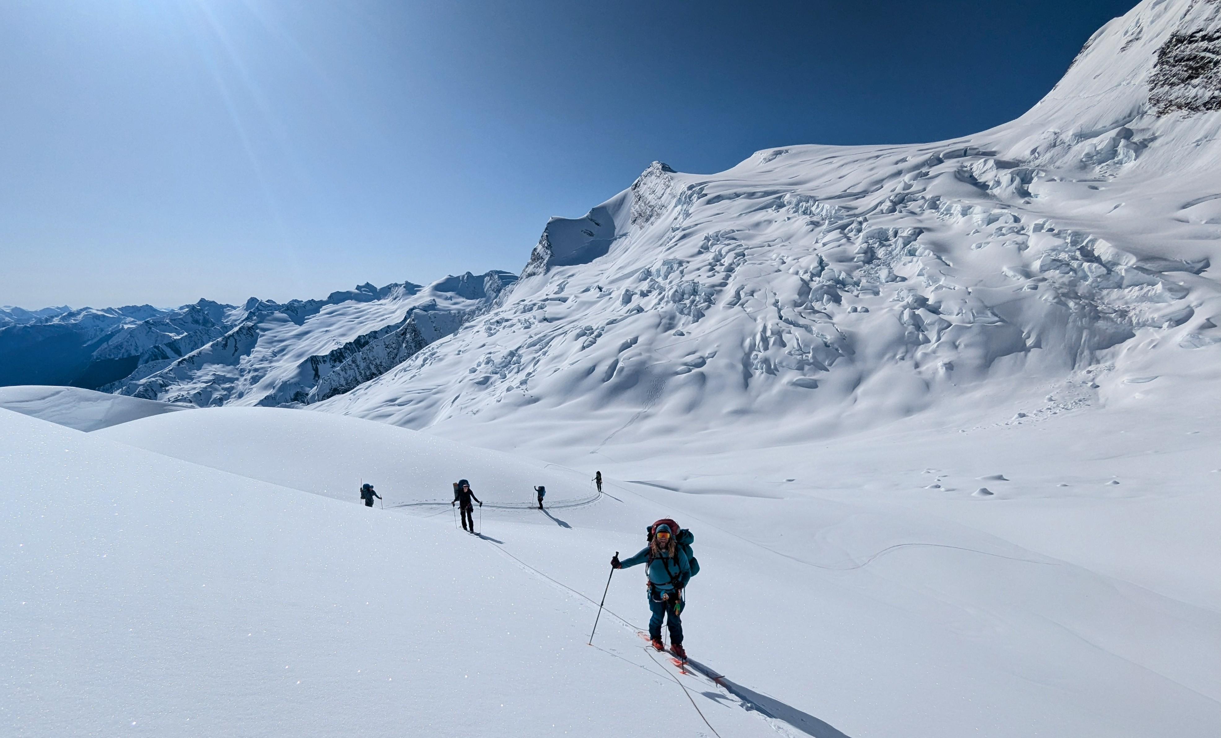
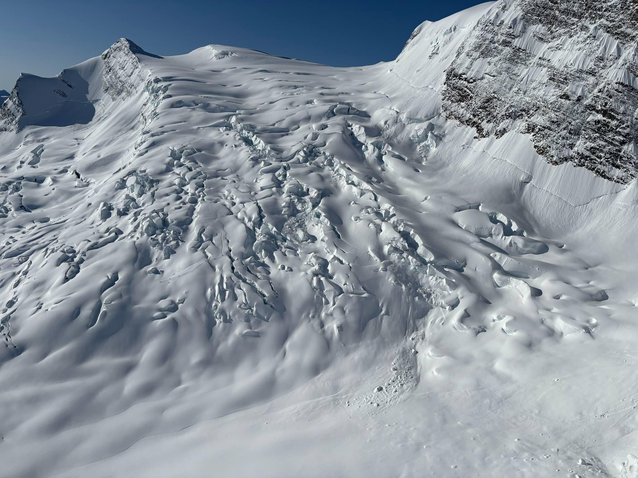
Gaining the South Canoe glacier from the south was a challenge due to reduce visibility, fresh wind slabs and, and possibly glacial recession. The upper Raush glacier is slowly decreasing in height leaving a steeper and longer headwall to be negotiated to connect the upper South Canoe glacier. We ended up bootpack a short lived but exposed 35-40 deg right trending ramp feature at about 2980m on the climbers right hand side of the head wall. It connected nicely with the upper South ridge leading to the southern most summit atop the South Canoe glacier. The South Canoe glacier was extremely broken up and required excellent visibility, top navigation, deep snowpack, and recent photos to manage. We used the lower ramp to get through which was spicy but reasonable. See photo.
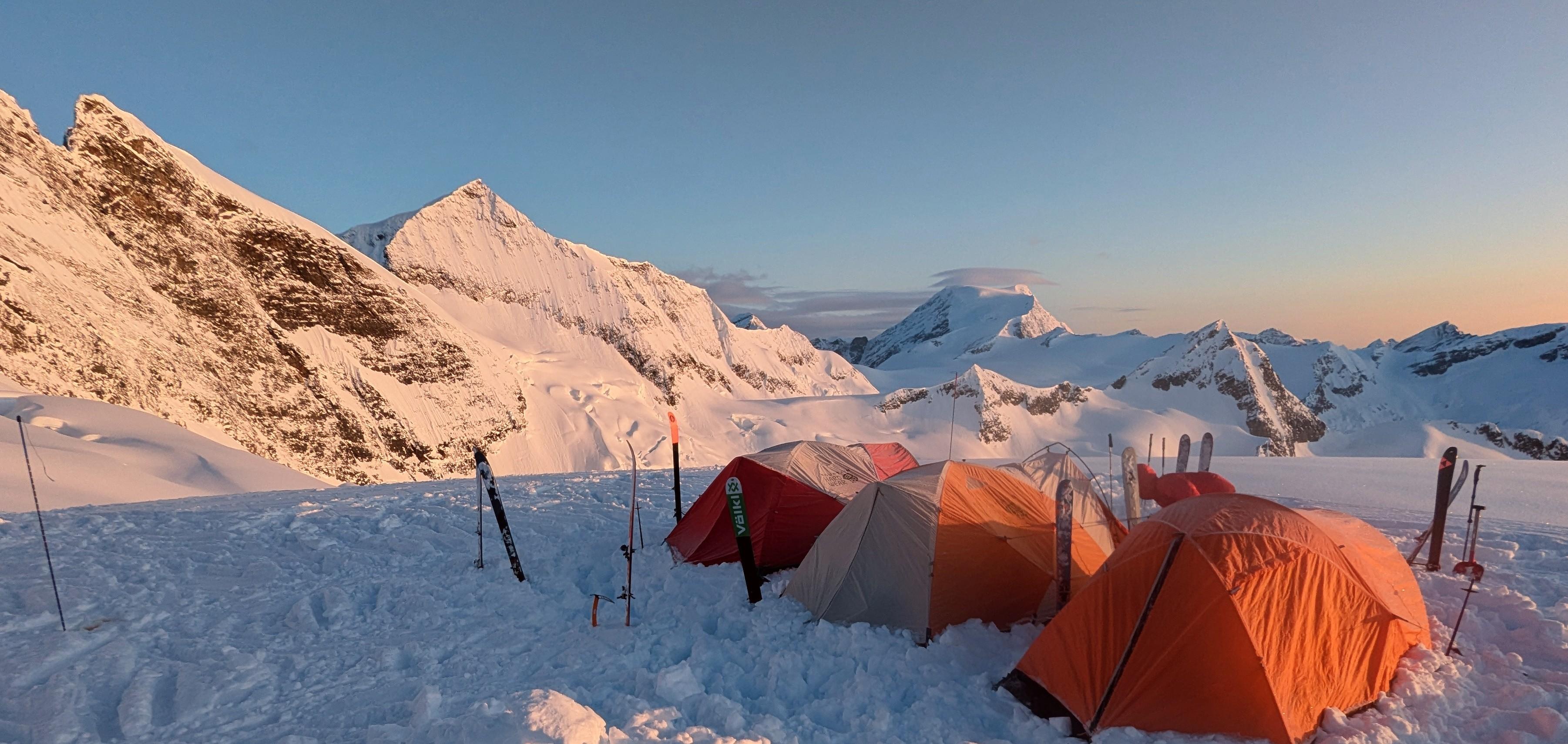
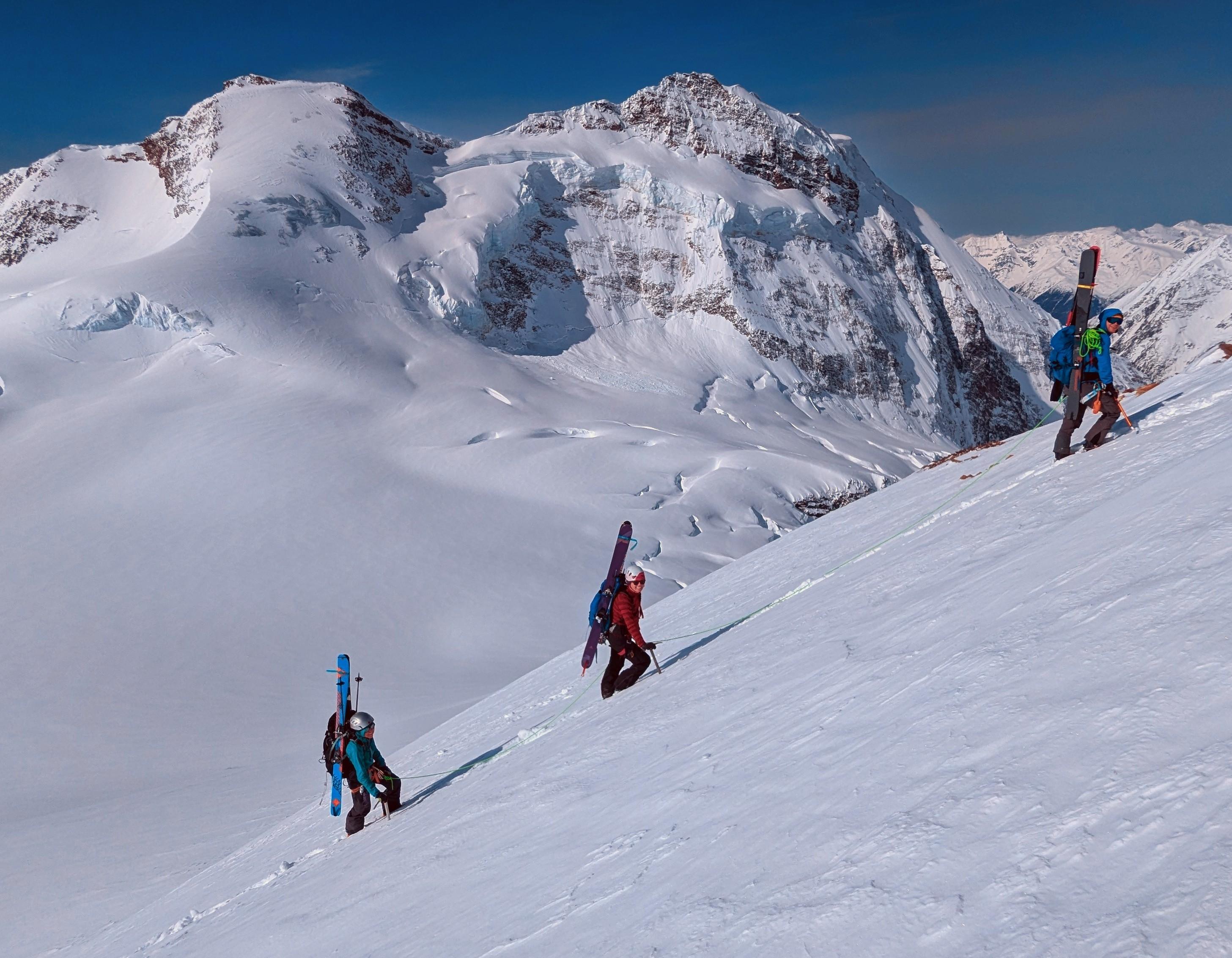
From a camp near the toe of the North Canoe glacier, we made an ascent of Sir Wilfred Laurier via the South face route on April 25th. We used boot crampons to ascend the steep Southeast slope (75m and up to 45 deg on good steps) leading to the Southwest shoulder near 2900m. We managed to skin up, with a few kick turns, the steep bottle neck between a large ice fall and the upper southeast ridge (100m and up to 40 deg with ski crampons) at 3150m.
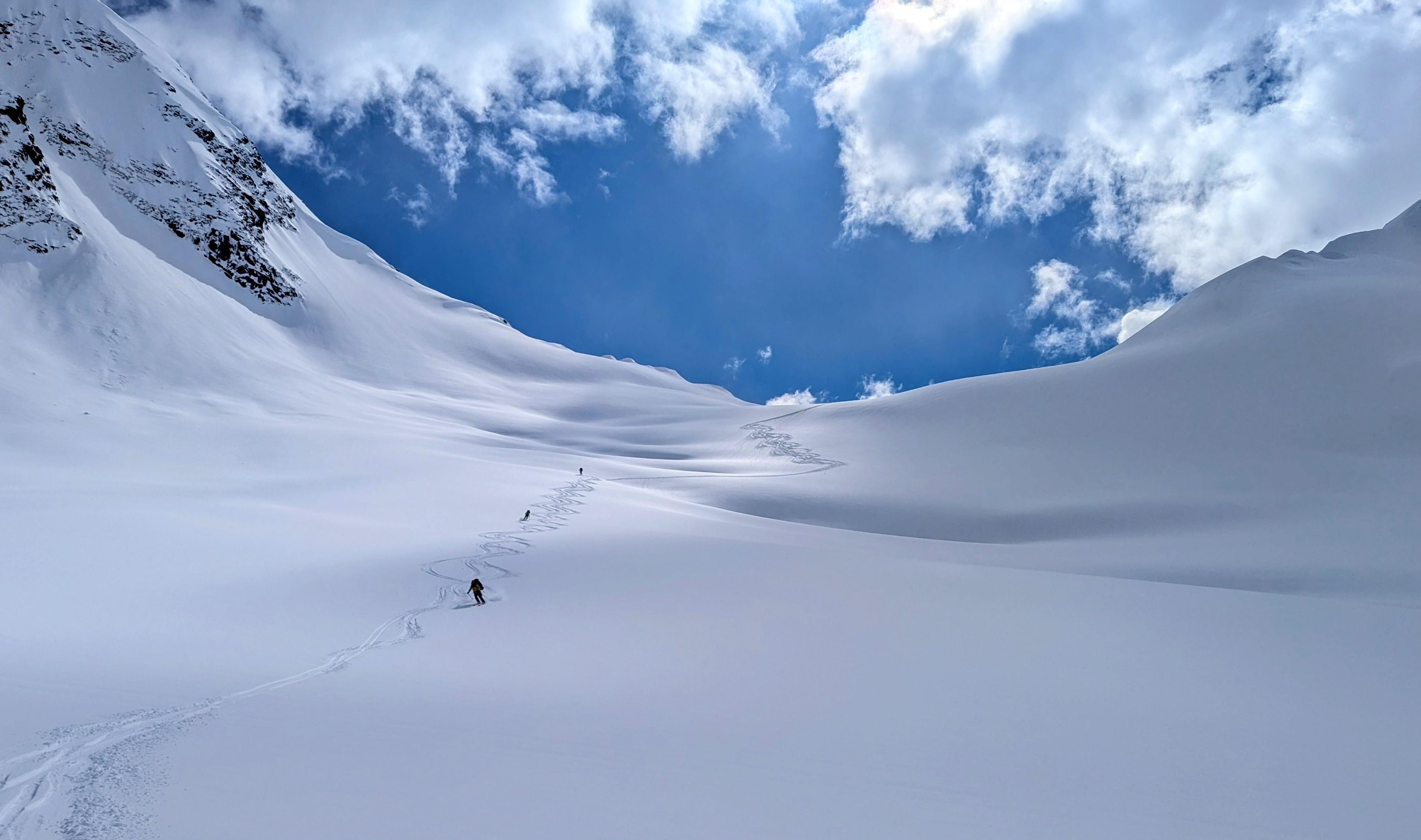
We intended on continuing our traverse toward Valemount but we ran out of time. Instead, we ended up doing some fantastic corn skiing on the nearby solar aspects before flying out on April 26th. All in all, a fantastic trip to one of BC's most stunning mountain ranges. A great time of year to be in the Cariboos.
Thanks to the CMH Cariboo guides for sharing recent photos of the South Canoe glacier! These helped us navigate through this complex section with more confidence and contributed to our success.
Happy Spring!
David Lussier
acmg mountain guide
www.summitmountainguides.com