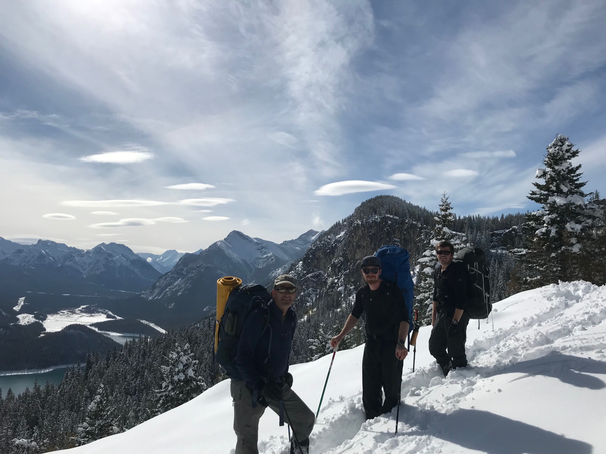
The ACMG Training and Assessment Program ran the first ever Hiking Guide Bridge Exam for Ski Guides in the Canmore area from October 1-5.
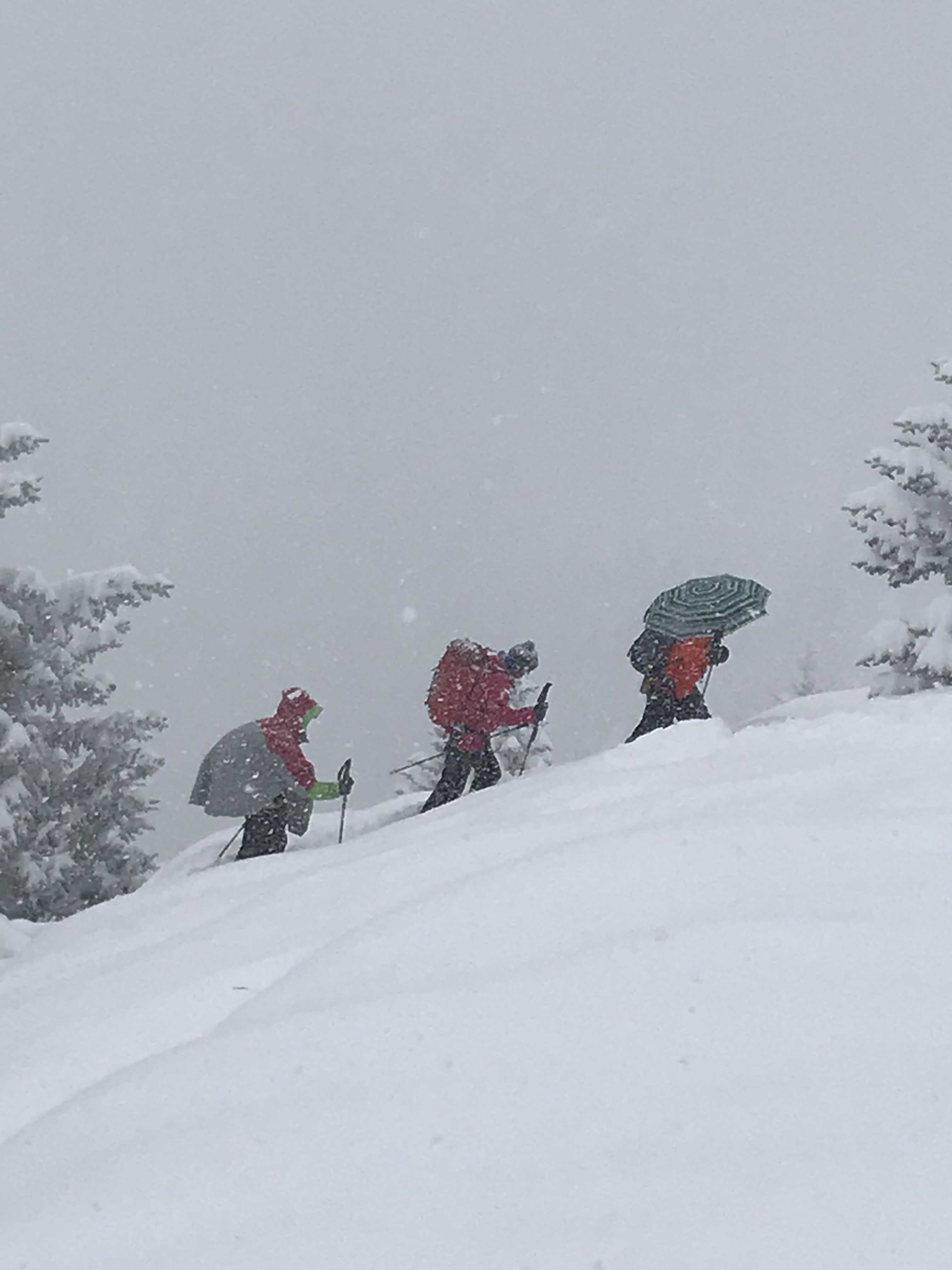
The week started with a very significant early season snow fall event. Over Monday and into Tuesday up to 70mm of precipitation fell at tree line and 30-40mm in the valley. This yielded 30-50 cm unconsolidated snow with wind effect and drifting at ridge top.
Wednesday through Friday were dry and mostly sunny with temps well below seasonal average, lows of -10 and highs of +5. Winds at tree line were generally light to calm.
Initially we stayed very close to Canmore, visiting Wind Ridge, Grassi Knob and West Wind Pass. October 4-5 we did a short backpacking trip in the Quaite Creek / McConnell Ridge / Barrier Lake area.
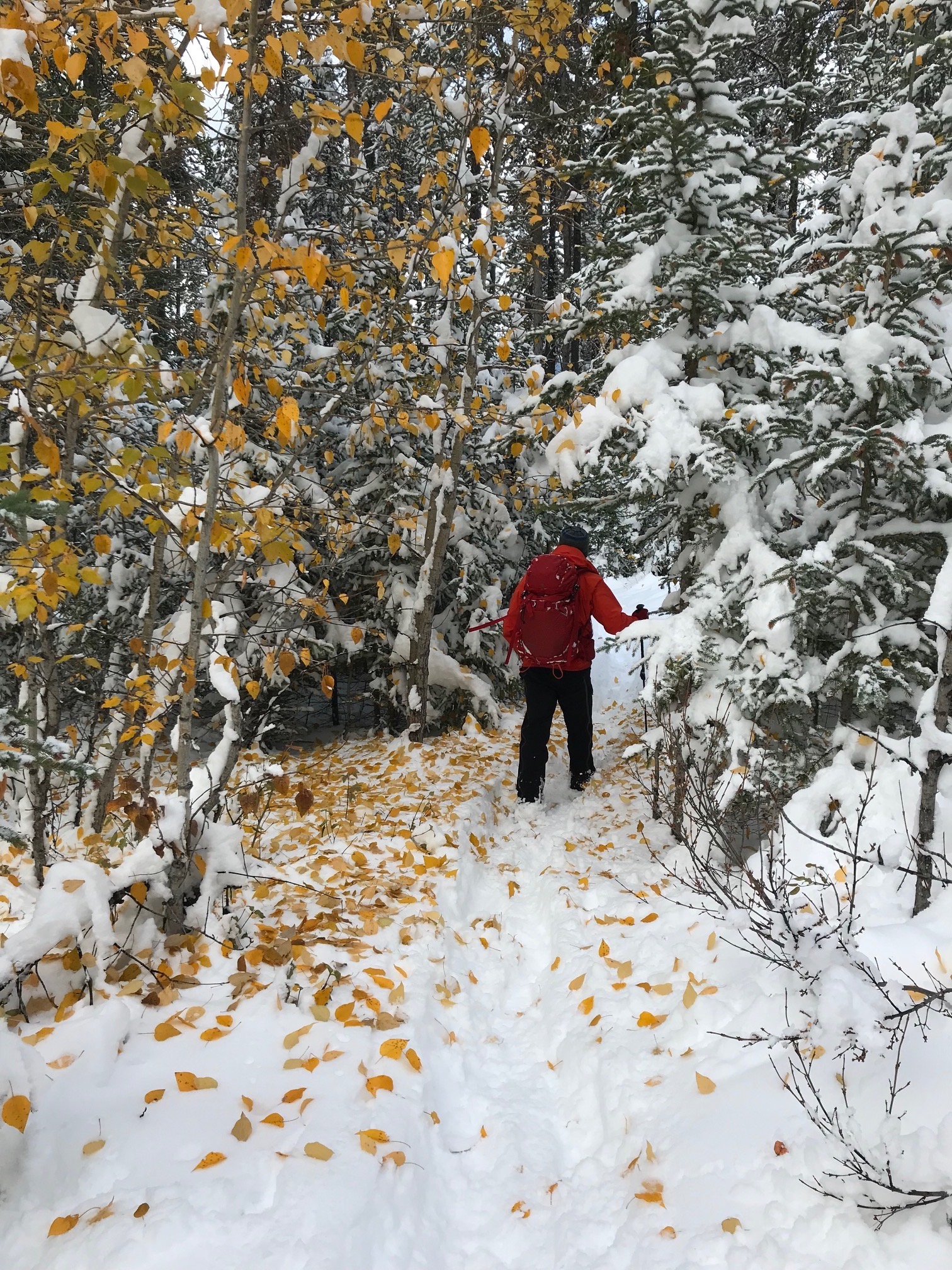
With foot penetration to ground, footing was challenging over buried rock slabs, rocks and logs. Lots of wallowing.
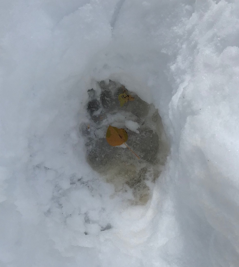
On the Canmore Gem-Trek map, the initial trails on for the Wind Ridge Area in Bow Valley Provincial Park are not accurate. Oct 5 we observed both black bear and grizzly bear tracks in the Quaite Creek Valley. Highly recommended to follow the hiking signs in the Quaite Creek area, older trails exist which are not being service and are not recommended.