Regional Summary For Interior and Rocky Mountains Aug 20, 2021
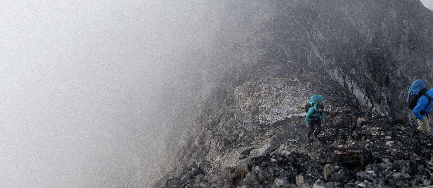
Weather: Current forecasts are showing 10-20mm of rain in the Rockies and Columbias over the weekend with freezing levels near 3000m. There will likely be some snow flurries at those higher elevations. More stable weather is in the forecast starting Monday. The good news over the weekend is that the fire smoke forecast is mainly clear for all of these regions, probably returning next week.
Conditions: Its no surprise by now that the mountains have been some of the driest in recent memory. Places like the Buagaboo/Snowpatch col have been out of shape for weeks, and alpine routes that involve glaciers and ice faces are either pure ice, or streaked with rocks. The change this past week has been some much needed precipitation which has resulted in some snow above 3000m in all areas, lingering mainly on North aspects.
Hazards: Rockfall is the most widespread hazard. Cooler temperatures may decrease some of the rockfall where it is frozen, but anywhere that has running water, the rockfall hazard will be increased. Its only August so I suspect the latter to be the case more often than not. The weekends forecast for more rain will add to this even further. Glaciers are almost bone dry, but any snow bridge encountered will probably have a high amount of uncertainty associated with it, making it difficult to assess.
Risks and options: Going to the higher mountains this weekend will involve accepting more risk due to the forecast of rain mixed with potential loose rock. A more conservative option would be to wait until next week when the mountains start to dry out again before considering more complex objectives. I'm sure there will be cragging and lower elevation options that will be available, and the front ranges may dry out a little quicker.
Have a great weekend
Stephen Holeczi
ACMG Mountain Guide