Mountain Conditions Summary for the Coast Mountains August 1st, 2019
MCR Coast Range Conditions Summary - Posted by Ross Berg on behalf of Andrew Councell, IFMGA Mountain Guides
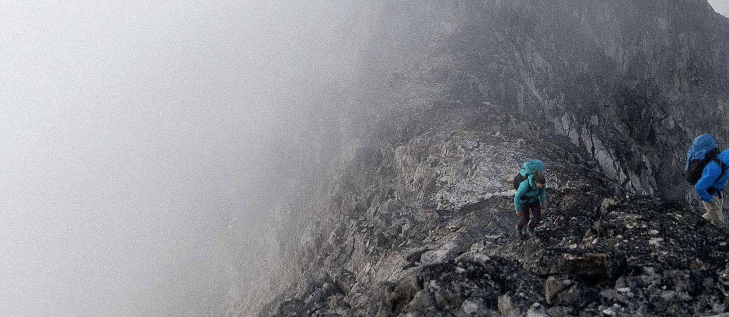
While we haven’t settled into a period of prolonged high-pressure yet, we are enjoying a relatively smoke free summer so far. For those of us who work outdoors for a living this is a lung saving blessing. Thursday evening through Friday afternoon another bout of rain will keep things damp. Freezing levels are forecasted to hover around 2900m around the Sea to Sky corridor which will bring snow (up to 10cm) to the higher peaks, like Wedge Mountain. It seems like the farther north you go the greater the precipitation amounts become (ie, over 60cm on Waddington by Friday afternoon). Vancouver Island’s Alps are in for a thorough soaking in the next 36 hours as well, with over 80mm of rain forecasted.
But it’s not all doom and dampy gloom as the weather looks to improve significantly throughout the long weekend. What this means for the mountains is lots of water lubricating the mountain sides which will increase the likelihood of rockfall, especially as whatever snow we do get at higher elevations begins to melt. It also means that certain objectives will need a bit of time to dry out, so plan accordingly. Be wary of hanging snow pockets, or the periphery of larger snow covered slopes, resting on rock slabs where free water running underneath promotes failure.
Reports from my colleagues around the Coast from the Spearhead to the Matier zone and the Tantalus are that glaciers remain in relatively good shape with decent snow coverage in the upper regions. On a brief foray into the alpine this week I witnessed some snow bridges spontaneously collapsing. Snow climbing has been in great shape, though, making for fast, supportable and efficient travel. The incoming rain will soak the snow surface and make travel more arduous but hopefully we will quickly rebound. Think: Sunday.-Monday. Due to non-freezing temps overnight, travel on snow has been good without crampons lately but glaciers are showing their ice. The Stadium Glacier on Sky Pilot, for example, is showing a patch of blue ice now although it’s still passable via snow at this point.
In the Smoke Bluffs there is a BC Hyrdo closure in effect as crews are doing work near the main parking area. The closure affects the Runestone Wall, Boulder Gully and Crag X from July 18 to August 17th. But for the August long weekend these areas will be open from 1pm on August 2nd through August 5th. The closures will be reinstated as of 5am, August 6th. Let’s all please be respectful of these closures; folks accessing these areas will be doing so at their own risk: blasting rock and the power lines are still gonna be hot, folks…might just wanna walk around that zone!
A big thanks to all my fellow guides for their info that helps to make these reports relevant. It’s a great community to be a part of. Stay safe this weekend and keep in mind the relatively sudden changes the mountains are undergoing with this boost of moisture, especially Saturday as things dry out.
Andrew Councell
IFMGA Mountain Guide
www.mountaincouncell.com