MCR Summary Rockies and Columbia Mountains, July 26
We are into full summer mode with HOT to above normal temperatures forecasted into the weekend. With this great summer weather comes the likely chance of afternoon thunderstorms, particularly along the east side of the Columbia and Rocky Mountains. Many areas have fire bans in place and are experiencing light to mild smoke from forest fires.
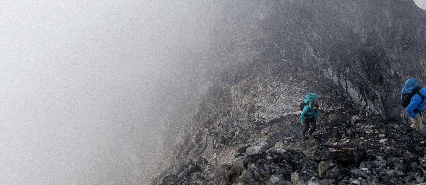
Conditions in most areas are reported to be in great shape, with enough snow left to make traveling on glaciers reasonable and rock routes are dry. All the classics in the Bugaboos and Rogers Pass are reported to be dry, and the Bugaboo Snow Patch Col is in good shape, however I suspect that that will change quickly with the hot dry weather.
Most of the classic ice faces like Mt. Lefroy and Mt. Fay have melted back to ice and are shedding lots of rocks. This would be a good weekend to avoid such routes, and many will be out of condition for the rest of the summer season.
There hasn’t been much info on the big peaks like Mt. Robson and Mt. Alberta, but I would suspect they would be coming into condition.
Heading into the weekend I would be expecting not much of a freeze overnight on glaciers, and I would be watching for those lingering snow patches to be shedding rocks above me. Steep glaciers and ice faces with embedded rock thats melting out would be another place you would not catch me this weekend.
Enjoy summer....... Winter is coming!
James