MCR Summary Rockies and Columbia Mountains, Aug 30
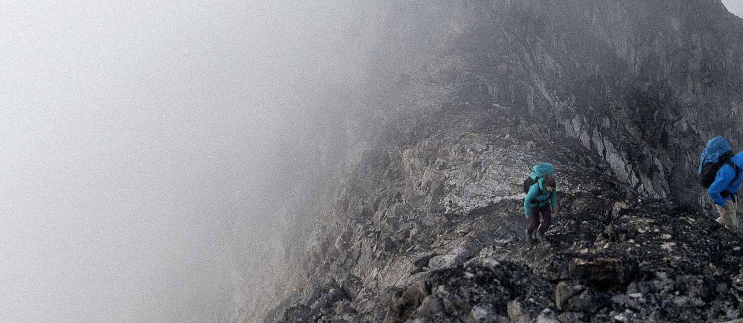
Sure feels like fall is in the air through the Columbia and Rocky mountains! Last weekends showers and those since have brought new snow, up to 15 cm, to the high and mid level mountains. I know what you’re thinking but no its not quite enough to borrow your friends new skis and go scratching around yet. There is no wide spread avalanche hazard yet, but I would be carful on high peaks where you could get swept off your feet by a small wind slab pocket depositing you in something unpleasant, like a crevasse.
Looks like scattered showers over the weekend with the freezing level hanging around 2600m. The cooler temps and rain have dampened down the smoke and made it bearable to go play outside again.
This weekend I would be looking for lower elevation and hopefully sunny rock climbing and expect all alpine rock above 2500m to have some lingering wet patches, especially on North aspects, and higher elevation routes to have some snow on them. I am expecting that routes will dry quickly when the warmer weather returns, especially on sunny aspects.
Glaciers are reported to be hard to travel on with mostly dry (bare) ice showing. Lots of bergschrunds are becoming very hard to navigate, or in-passible. The recent snow offers no bridging over crevasses, its just enough to ball up in your crampons.
Of note, a large part of Kananaskis Country valley is closed due to a bear, and Mt Gimili and surrounding area is also closed due to a fire.
James Madden