MCR Regional Summary, Columbias and Rockies
Looks like the weekend could bring a short reprieve to this monsoonal weather we have been experiencing. Rogers Pass area is looking the driest, maybe... the bow valley will have a mix of everything, and the foothills is experiencing flooding in some areas, such as Cochrane.
Rogers Pass and the Bugaboos.
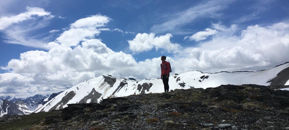
The winter snow pack has mostly retreated to tree line, with snow depths of 150-300cm on glaciers in the alpine. A few wet snow avalanches and cornice failures have been observed over the last few days. Once things dry out conditions will be in good shape, however we are not there yet, and will not get there this week looking at the wet weather still to come. Bears have been active in both the Bugaboos and Rogers pass, so do not forget to make noise and travel in groups of 4 or more when possible. Spring run off is in full flow with creeks being high and difficult to cross.
Rockies
Heavy rain throughout the continental divide this week and continues with snow in the high alpine. Avalanche and cornice hazard are very real right now. I would suspect with the rain soaked snow, and new snow in the alpine, travel would be arduous and dangerous. Glaciers are starting to show sags, with snow depths of 100-200cm. With the run off and melting snow rock fall will be a higher than usual hazard until things dry out a bit.
This weekend you will find me looking for a sunny rock climbing crag that does not seep and some tacky trails to run or hike.
James Madden
ACMG MG