Coast Range Regional Summary - August 6, 2020
The past few weeks have flown by at an exhilarating pace as mountain enthusiasts have enjoyed alpine conditions at their finest. Long, hot days for weeks with only occasional cloudy disturbances have given us the "green light" for many objectives and have made anything feel possible and, even, probable as we've stretched our legs, lengthened our strides and basked in the glory mountain pursuits provide. Last winter's prodigious snowfall still lingers at lower-than-usual elevations and has, so far, kept the glaciers in relatively easy conditions.
I've been around the Tantalus group this last week or so and confirm the MCRs of my colleagues who've also been working there. But the heat and solar punch have been taking a toll and the glaciers are finally beginning to show their bones. Coverage is melting quickly. A week ago there were simple steps to cross from glacier to rock where a little more effort is now required. Sags are appearing now where there was no visible clue a few days ago. Although still in overall good shape, moats are opening up and will become more problematic as the heat and sun continue. I was working on Mt. Tantalus yesterday and noticed the moats below and around Dione had collapsed in quite a few places. Extra caution needs to be exercised when approaching the edges of the glaciers as large overhangs of snow balance precipitously over 50-80' deep moats. In other places, where these have already collapsed, the "floor" of jumbled debris consists of weakly bonded chunks bridging the abyss beneath. It's probably not a good idea to stand around on these.
The main point is this: as with backcountry skiing in winter, just because there's tracks doesn't mean it's safe to follow. Crevasses and moats are now changing quickly and what worked the previous day (or even that morning) may no longer be viable. Many, if not most, of the 50 or so people I've seen on the Dione Glacier returning from Tantalus are travelling unroped. One might argue it's a personal choice. But not only would an unroped crevasse fall likely have a poor outcome but others (who were not a part of that choice) are called upon to assist. I spoke with Sandra Riches at BC AdventureSmart this week and she said there were ~1700 SAR calls in BC alone last year and ~1500 in the rest of Canada combined. We can all play a role in reducing the numbers of those calls by choosing best practices. AdventureSmart has a great trip planner app that's worth checking out, by the way.
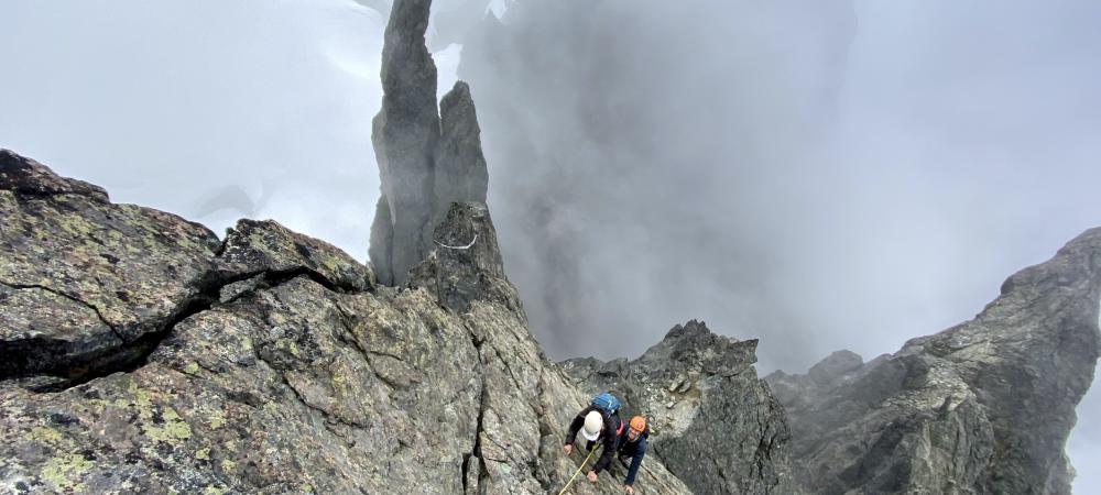
Rock ridges around the Range are generally snow free and, as would be expected, there's considerably less snow coverage in the Fitzsimmons range near Pemberton. Garibaldi's standard route up the North Face is still workable around the bergschrund but looks like that may not last for long. Rockfall has overall not been too bad in our zone but as more snow melts, and more rocks appear, we should expect this hazard to increase. Most cornices have melted away or dropped but be wary of lingering below hanging chunks of snow. We heard one large collapse somewhere in the mist yesterday, sounded like the roar of an avalanche as something gave way.
Today was pouring rain in Squamish and it looks to be up to another 10mm of precipitation tomorrow but a clearing trend looks to be in store for the weekend. At least for the South Coast. Forecasts show more rain further up the Central and North Coasts. So pack your gore-tex, sun protection, bug repellant, and be prepared for it using it all. And while Garibaldi and Stawamus Prov. Parks have reopened, please remember that Joffre is still closed.
Many of our beloved places are being overrun and showing strains of abuse by those who may not be as practised in Leave No Trace skills as they ought. Let's take care of these special places and each other. Play safely, make good choices and have another excellent weekend in the mountains!
Andrew Councell
IFMGA Mountain Guide