ACMG Mountain Conditions Summary for the Rockies and Columbia Mountains, September 4, 2020
The story of this September long weekend in the Rockies and Eastern Columbia's is the abrupt arrival of fall!
A big change in the weather is forecast starting late Saturday night or early Sunday morning as rapidly cooling temperatures and precipitation arrive in the Rockies and Eastern slopes of the Columbia Mountains. Up to 5-10 cm of snow is possible over the higher mountain regions on Sunday and the eastern slopes of the Rockies may even see a few flakes in the air. Areas further west and south around Revelstoke and Nelson are currently forecast to stay much warmer and dryer. Objectives in the Monashees, western Selkirks and southern areas like the Valhalla's may be the best mountain choices for Sunday and Monday before the high pressure returns on Tuesday for the foreseeable future.
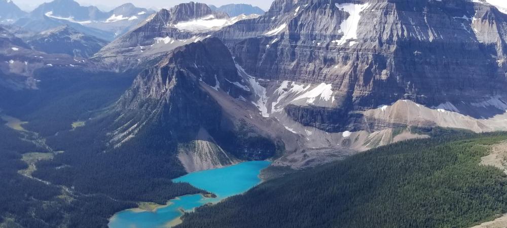
Going into Saturday most mountain objectives are in excellent shape with dry rock and warm temperatures up high, a decent overnight freeze, good snow travel and relatively good glacier coverage for this time of year. Recent reports from Jasper, the Lake Louise group, Wapta Icefields, Rogers Pass and the Bugaboos are all talking about really good snow and glacier travel conditions with the normal caveats of later season travel like: thinner crevasse bridges; some bare ice showing up; and rock fall issues as the day warms up in places that are prone to it. Alpine rock objectives are currently in great shape with the exception of very high north facing areas that have still not dried out entirely this season.
Saturday seems like the day to get up early and go for large objectives almost anywhere but make sure you can make it down before the snow and rain arrive on Sunday. Sunday in the Eastern areas may be a day to reposition to the west and south, try and get in low elevation rock climbing or go for a hike, while southwestern areas should still offer good climbing conditions.
Once the high pressure arrives again on Tuesday, alpine rock areas in the eastern parts will need a bit of time to dry out. Verglas and a bit more rockfall can be expected up high until this happens. There may even be enough snow up high to start hiding small crevasses, but the later part of the week looks very promising for alpine travel again at this point.
Plan around the upcoming weather changes, make sure your headlamp batteries are fresh, bring some extra clothing layers, keep the rope tight on the glaciers as the snow arrives, and enjoy the start of the fall climbing season!
Conrad Janzen
ACMG Mountain Guide