ACMG Mountain Conditions Summary for the Rockies and Columbia Mountains. September 23, 2021.
Weather:
It is transition time in the mountains. Friday and Saturday look like nice weather days in both the Rockies and Columbias with mainly clear skies and temperatures up to 15C. Some models are calling for precipitation to start Sunday to the West of the divide and along Highway 93 North to the Icefields. All areas besides the front ranges are expecting unsettled weather for most of next week, with snow in the alpine, rain at treeline and below, and cooling temperatures. The front ranges will likely escape most of this moisture.
Conditions:
Most areas in both the Columbias and Rockies have reported similar conditions. Snow accumulations in the alpine over the week have mainly melted off solar aspects, but the consensus is that snow line is at 2350m and rising on shady aspects. Its all over the shop for amounts but some recent observations have seen 30cm with drifts of 70cm on the North Victoria Glacier up high, 5cm drifted to 20cm at Talus Lodge, 30-50cm from a flight in the Tonquin area near Jasper yesterday, and 5-30cm in the Purcell range. Most Eastern peaks are still bone dry, and lower elevations in the Interior are still full summer condition.
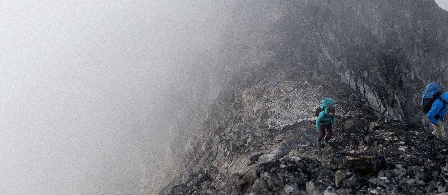
Hazards and risks:
A common thread from reports is that there is now enough snow at elevations around 2800m and above to cover some of the smaller crevasses on glaciers. Weak snow bridge hazard will likely increase next week in many areas as more snow accumulates. These bridges can be hard to assess and can make travel quite difficult. The increased risk of stepping through a weak snow bridge is always exciting, especially if visibility is poor!
It is nice to have snow on some of the ice faces which were looking brown and dismal. I wouldn’t put too much faith that it will decrease some rockfall potential on ice faces until we get some freeze/thaw happening.
There might be some lone icicle at 3700m that has formed, and Larry Stanier said there was a bit of verglas in some sneaky areas at Lake Ohara, but i'd bet there isn’t much alpine ice formed yet. It would be more likely that there is an abundance of snow covered rock which makes climbing more insecure, if you are into that sort of thing.
The last pertinent hazard is one that may not be that prevalent yet. That would be changing the mindset from a hot summer to thinking about avalanche hazard in high alpine areas. There were reports from the Columbia Icefields of some pretty big spindrift avalanches coming off some of the North Faces last week. It’s not likely to be a significant hazard in most places, but that can change quick, and next weeks forecast could make avalanches more likely. It may be worth at least trying to remember where your avalanche gear is, and thinking about when its use might be warranted.
Enjoy these few days of decent weather, and hope the forecast doesn’t hold true for next week. If it does, head East!
Stephen Holeczi
ACMG Mountain Guide