ACMG Mountain Conditions Summary for the Rockies and Columbia Mountains. November 8, 2019
We're now well into November. Ski resorts have fired up the lifts, climbers are scratching up frozen icicles and splitboarders and ski tourers are staring each other down at Bow Summit and Highwood Pass.
At the risk of crying "wolf" a few too many times: it's winter time and avalanche season is upon us.
WEATHER
It was another wintery week in the Rockies and Columbia mountains, with overnight lows into the negative teens and daytime highs generally below freezing until today when it warmed into the low single digits above treeline.
Snowfall amounts were modest this past week, but the snow that did fall got moved around by strong SW winds that came just after the storm passed, resulting in a wind slab avalanche problem that will only become more reactive with today's warm-up. These wind slabs will be perched on well lubricated facets.
The forecast is for continued snowfall and warm temperatures throughout the weekend with accumulations in the 5-15 cm range. Ski areas around Banff and Lake Louise reported rain and moist snow to 2500 m. So there will be a crust to about 24-2500 m by tomorrow I think.
AVALANCHE CONCERNS
There has been a natural avalanche cycle over the past 48 hours in the Rockies and Selkirks to size 1.5 (loose and wind slab) and windslabs have been reactive to skiers and explosives into the size 2 range. Today, several loose wet avalanches were seen on Mt Dennis flowing over Pilsner, and a wind slab on Rundle released over the area where the Oracle sometimes forms.
The thin early season snowpack has been faceting away as per usual for this time of the year. Basal facets have been at the bottom, so to speak, of recent larger avalanches, including a size 2.5 (big enough to kill you and your whole group with ease) on the north side of Mt. Stephen during explosive control work by Parks Canada. An explosive charge rattled loose a small wind slab that provided the energy to step down to the basal facets on the glacier ice.
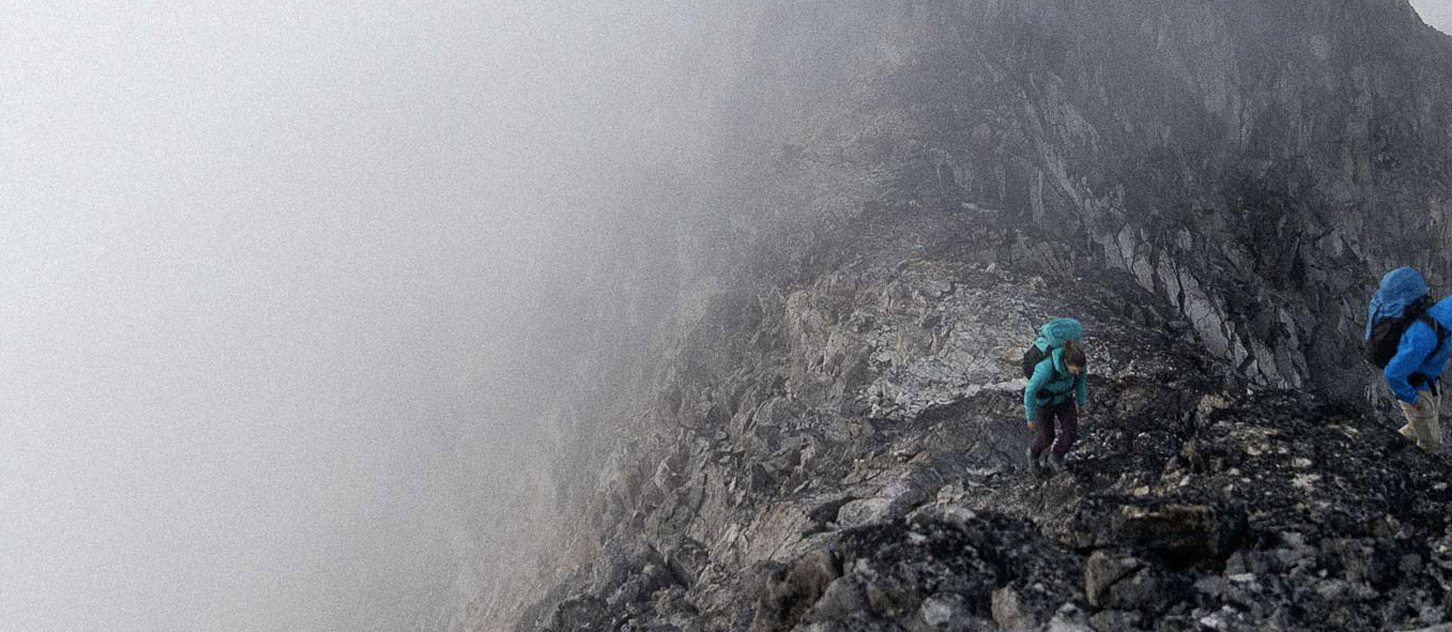
Below treeline there just isn't enough snow to have any fun at all, and in the alpine vast areas are either wind scoured or below threshold for avalanches. So -- as Mark pointed out last week -- skiers will be drawn naturally to areas with enough snow to ski: which are the very windloaded and lee features we want to avoid. So be alert as you move from wind scoured facets and onto a windslab that's waiting for an excuse to pop -- with you riding it to your doom. Last weekend exactly that happened when a skier stepped onto a small loaded pocket below Observation Peak and was almost fully buried in a small avalanche.
Also consider your exposure to large loaded alpine features with the potential for overhead triggering by smaller natural wind slab avalanches. Ice climbers, who spend time in gully features with large overhead slopes that feed the seeps, come to mind. A classic example is Ranger Creek, where many of us swing our tools for the first time of the season. It's infamous for scaring unwary ice climbers with avalanches that pour off the stupendous alpine slopes above.
OBJECTIVES
Ice climbing seems to be having a banner year already with many classics coming into condition: Storm Ck, Stanley Ck, Professor's, Sacre Bleu, Amadeus, etc. New routing has been reported in the Kootenays on Mt. Gimli of all places, and the Terminator Wall has seen at least one visit already.
Ski touring activity is building, but travel at treeline elevations and below is still rugged with lots of poorly buried tree & rock hazards. On the glaciers, the gaping crevasses that were open just a month or two ago are still not well bridged, and those bridges have been faceting nicely along with everything else. Keep a rope on and use that probe when in doubt.
The skating took a hit with the snow this week. We'll have to wait for another cold snap to freeze the big lakes.
Have a good and safe weekend.
Tom Wolfe
ACMG Mountain Guide