ACMG Mountain Conditions Summary for the Rockies and Columbia Mountains. November 12, 2021
It's been a slow start to the winter season. Most people I've spoke to are OK with that. Often when you get big dumps of snow early season it results in a basal weak layer that causes problems later on. Of course, predicting what will happen in a week or two is usually futile, let alone in a month or two. But so far so good.
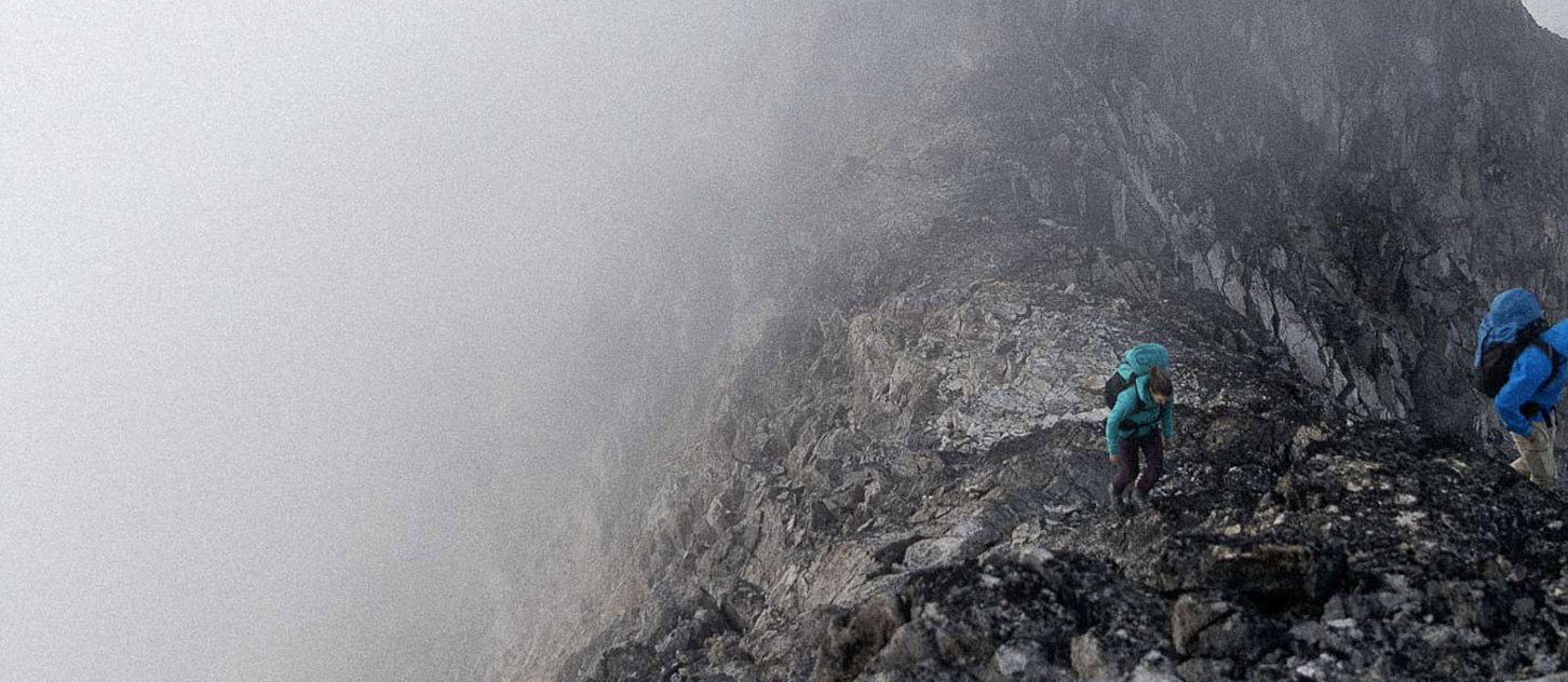
Yesterday I heard reports of people still hiking, mountain biking and rock climbing at low elevations. Meanwhile in the high alpine and down into treeline elevations skiing is possible, and ice climbing is in full swing. The eastern slopes have very little snow. What little fell in last week's storm has melted and blown away in the recent warm weather and winds. Ice skating has been good.
FORECAST
The storm that's currently brewing should bring a fair bit of snow to alpine elevations. If the forecasts are true we can expect 15+ cm on the AB/BC divide and substantially more (50+ cm?!) in Rogers Pass. Eastern ranges will get shorted as usual, with the westerly flow petering out to trace amounts (possibly up to 5+ cm) in the Canmore region.
HAZARDS
Crevasses -- the best skiing will be on glaciers. Be fully prepared for serious glacier travel and dealing with lightly bridged crevasses.
Avalanche -- This weekend's storm might spike the avalanche hazard in the Selkirks substantially at Alpine and Treeline elevations. The new snow will overlie 20-60 cm of settled snow which interfaces with previous rain crusts. Avalanche hazard will be largely dependent on the amount of snow and wind over the weekend. In the Rockies I would be mainly concerned with specific windloaded/lee areas, gullies, and features at alpine elevations. The Selkirks has more of a base and much more snow in the forecast so problems may extend to lower elevations.
If you decide to chase turns this weekend be prepared to make your own hazard assessment. Forecasters have very limited information to go on and have not issued ratings yet but are starting to talk about current avalanche problems.
If you're an ice climber, consider the risks of sluffing, loose and small slab avalanches, and spindrift in your hazard assessment. The gullies where the ice is fattest will channel small avalanches and provide enough force to knock an ice climber off.
Buried hazards -- Because it's been such a slow season, buried hazards are still very much lurking and waiting to catch your ski tip and/or make postholing challenging. Wear your helmet, ski slowly, keep yer tips up, think light thoughts, especially at treeline and below but also in the alpine -- large boulders can make skiing even with a 1 m base dangerous if they're blown in by new snow and invisible.
WHAT TO DO
Rock climbing -- it's incredible that it's still possible this late in the season. Of course late starts and an eye on what's happening with the snow in addition to targeting low elevation, wind-sheltered sun traps is essential.
Ice climbing -- many good early season venues are in condition right now. Assess the avalanche hazard before commiting to the route.
Hiking -- Rockies east ranges at low elevations have been dry but will be getting at least a dusting again this weekend. Shaded aspects will hold ice and more snow so be prepared for slippery travel.
Skiing -- in my opinion it's still way too early to get excited about skiing. Some people have been getting up high and finding turns as usual. At alpine elevations open slopes will likely be too shallow and wind affected to yield decent, safe turns. Filled-in sheltered bowls and lee aspects will be better bets. Treeline and below treeline elevations are very rugged.
Skating -- the east slope of the Rockies is having another good ice skating season. If you're new to the sport look for lakes without current and 4" of ice, and/or shallow ponds. Go prepared with throw ropes, ice picks and life jackets and bring a friend or two. Unfortunately this next storm will bring a pulse of snow that will probably ruin the fun until the bigger lakes freeze over.
Have a safe, snowy weekend.
Tom Wolfe
Mountain Guide ACMG/IFMGA
www.sawback.com