ACMG Mountain Conditions Summary for the Rockies and Columbia Mountains. May 10th, 2018
No really dramatic changes reported over the past week but the snowline continues to rise as do the rivers and the tick populations.
Forecast looks like a nice warm sunny weekend for the whole region. Still some corn snow skiing to be had but some walking will probably be required except along the Icefields parkway and some spots at Rogers Pass. Clear nights, early starts and careful terrain inspection and selection will be the key to getting some good safe turns in. In some ways unconsolidated moist snow at low elevations could be the biggest ski injury hazard.
More crags are drying out and more multi pitch venues are becoming accessible. Be conscious of large blocks and holds that may have loosened over the winters melt freeze.
Scrambling routes still require some scoping, decision making and a willingness to retreat. On the backside of Yamnuska on Tuesday there was still snow in lee features and ice around the edges of the snowpatches with the concurrent possibility of a nasty slip or even an ugly slide on frozen snow.
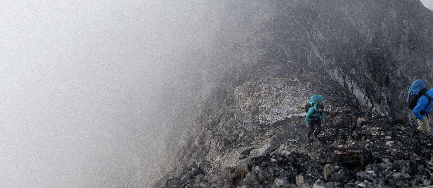
Alpine climbing is becoming more feasible. The long warm days do mean less time for a solid overnight freeze so be very aware of temperatures and where and when the sun hits any overhead terrain. Wet snow avalanches, cornice failures and rockfall would all be on my mind if I was anywhere with steep terrain above me.
Glacier travel, ski conditions and avalanche hazard are all tied to the melt freeze cycle for the foreseeable future. We need solid overnight freezes with clear skies and cool temps for good travel conditions and relatively easily managed hazard forecasting. We may just get that this weekend.
Starting to look like we may get a thunderstorm in Canmore this afternoon. Lightning and bears-just 2 other hazards to make sure you enjoy from a distance as summer rolls into town.
Larry Stanier
ACMG Mountain Guide