ACMG Mountain Conditions Summary for the Rockies and Columbia Mountains. June 7, 2019
The Rockies are known for rapid weather changes and this week has not been an exception. In the town of Banff right now it is 0 degrees and snowing at about 2 cm per hour. Yesterday had some sun with a high of 13, and earlier this week it was bluebird and 26 degrees.
WEATHER
The rain/snow event which began on the evening of June 6 has given us 11 mm of precipitation in the valley bottom and remote weather stations are showing about 5 cm of snow on the ground at 2000 m from Kananaskis to Jasper to Glacier National Park. Limited wind data is available but at the Vulture station at 3000 m on the Wapta Icefields winds are picking up and are getting into the critical range for snow transport this morning with westerlies 35-40 kph being recorded. It is -6 at that elevation this morning so, you know, a typical winter day up there.
Not all is doom and gloom though and the forecast is looking good for many areas in the coming week. Some clouds and remnant showers for Saturday should give way to generally sunny conditions for the Southern Rockies and Interior ranges, with highs in the low 20s for valley bottoms by mid-week. From the Columbia Icefields north it is looking less settled with a higher chance of clouds and precipitation.
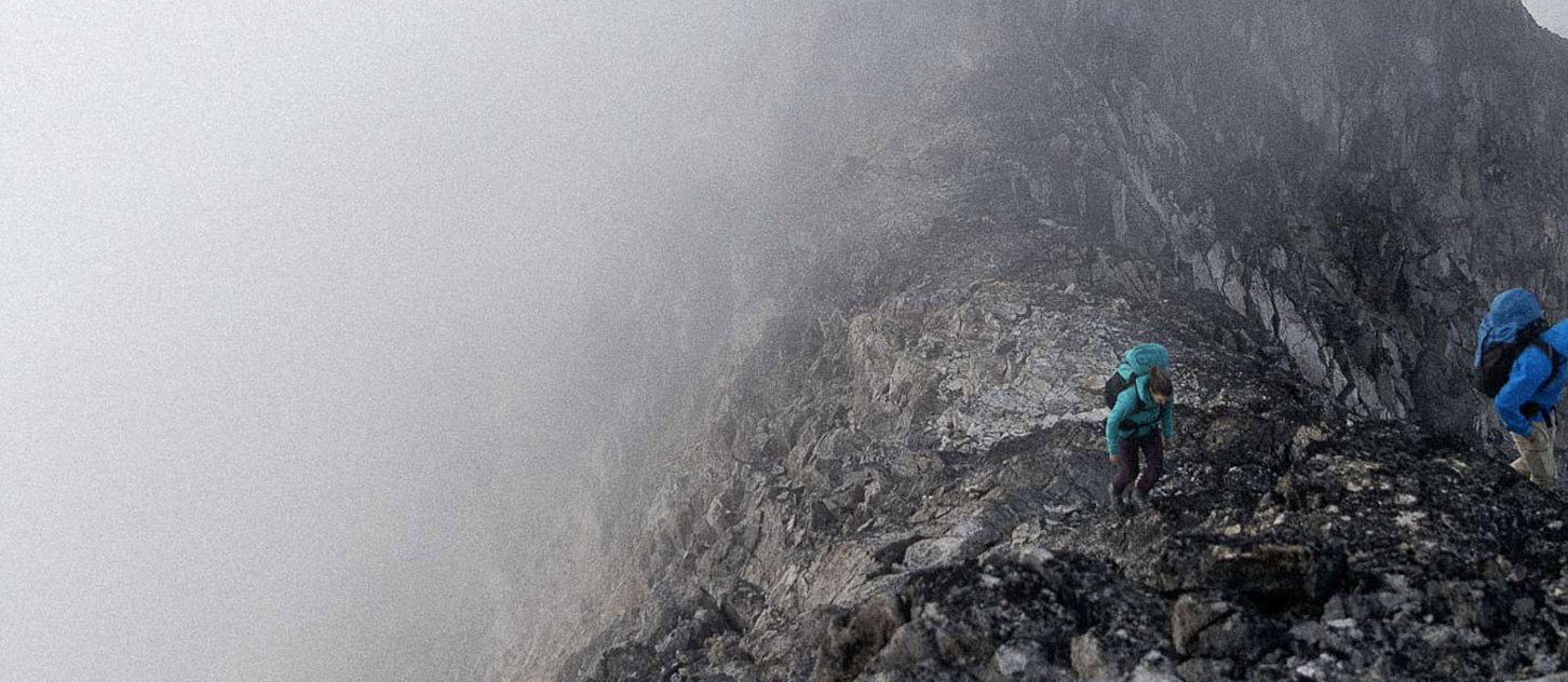
CONDITIONS
Up until today typical early season conditions prevailed. Rock climbs were dry at lower elevations and on the eastern slope of the Rockies. There was good coverage on the glaciers and snow/ice routes, and travel was good when clear skies and/or cold temperatures were present. On warmer mornings and in the afternoon you could expect difficult travel with punchy snow. Snowy conditions were encountered on higher altitude routes that involve rock climbing.
All that has changed for now with the snowstorm and EVERYTHING is snow covered today. It will take a few days of good weather to return to better conditions.
HAZARDS
We can expect significantly more snow in the alpine than is showing at remote weather stations. Expect there to be an avalanche cycle of wind slabs starting today and wind slabs and wet loose avalanches for the first few days once it begins clearing.
The rain and snow will also create a rockfall hazard on both alpine climbs and rock climbs until it dries out. This is in addition to the early season loose rock we encounter every year due to the winter and spring melt/freeze cycles.
Cornices are always a concern at this time as they may have not melted back from their springtime maximums. Be aware of crevasses when the snowpack weakens during warmer periods.
OBJECTIVES
My go to for the days following a storm like this are fast drying sport climbing cliffs, mountain biking trails, and hiking (hiking and biking are always good ways to scope out conditions higher up).
Be patient and let this new snow settle before exposing yourself to avalanche terrain on the high peaks. I would probably not consider exposed snow/ice routes until Monday at the earliest.
Depending on what happens on Saturday, I would probably avoid many multi-pitch climbs and scrambles until Sunday or later, due to rockfall concerns. If you do want to get on something like that, choose routes that have less rockfall hazard: multi-pitches that are known for their good rock quality and which dry out quickly, or ridge climbs.
Once it warms up and dries out again you can consider many of the classic routes again. Last week I have seen reports from:
- Most sport climbing areas - good conditions.
- Low and mid-elevation trails in the Rockies - some muddy areas.
- Many higher trails in the Rockies are still snowbound, as are most trails in Glacier National Park. Higher elevation routes in K Country seem to have less snow than elsewhere.
- Rock climbs on Roche à Pedrix were dry in Jasper Park.
- Silverhorn route on Mt Athabasca was climbed as the storm was starting and new snow was building up.
- Skyladder on Andromeda - a group turned back due to new snow and stormy conditions on June 5.
- Eisenhower Tower and Mt Bowlen (via Perren Route) in Banff Park - snow patches on both that were reasonable to deal with.
- Mt Tupper W Ridge, Little Sifton and MacDonald NW Ridge Integral in Glacier Park - easy travel on snowy approaches, routes were dry.
Mark Klassen
Mountain Guide