ACMG Mountain Conditions Summary for the Rockies and Columbia Mountains. June 28st, 2018
As we approach the Canada Day long weekend, we also approach an unsettled week of weather. Many forecasts are calling for rain through the weekend with snow at higher elevations, and way up high one could assume there could be some concern about smaller storm/wind slabs in the short term, and loose wet avalanches in gully features.
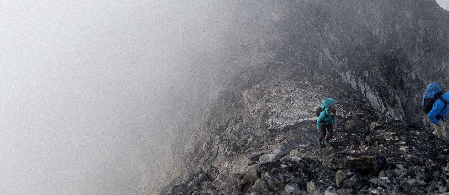
Many of the regular larger, snowy peaks in the Banff and Jasper regions have been getting climbed this past week with reports of excellent coverage and travel. The snowline is around 2900m (likely lower this weekend). All of the front range climbs are mainly free of winter snow, with some wet gully features and rock fall hazard. All in all it seems like regular early summer conditions.
In Rogers pass the Hermit peaks have been climbed (Rogers,Swiss Peaks, and Tupper) and the ridge crests are currently free of snow. Sir Donald has snow on the West face bypass and small patches along the standard ridge. Snow coverage is patchy and starts between 2100-2300m. Same reports of good snow coverage and travel, with only the largest crevasses showing signs of starting to sag.
Not many reports from the Bugaboos but there’s still snow at the Kain hut level (2200m), good coverage on the Bugaboo/Snowpatch col, and rock fall starting to happen when the sun comes out. Solar facing walls have started to dry out, but the higher peaks such as the Howser Towers have the usual cornicing and aren’t in shape yet.
The rivers everywhere are still pumping with water and stream crossings can be interesting to say the least! We’ve been talking about the past weeks excellent snow conditions, but this could certainly change this weekend with the current forecast, and a flexible approach to objectives will likely yield the greatest success. Have fun.
Steve Holeczi
ACMG Mountain Guide