ACMG Mountain Conditions Summary for the Rockies and Columbia Mountains. June 14, 2019
After a few days of unsettled weather, the weekend is looking pretty good for getting out in the mountains! Saturday and Sunday are forecast to be mostly sunny with a small chance of late day thundershowers. Saturday night looks both cool and clear which should help snow travel conditions on Sunday morning if you get up early enough. Monday ushers in a week of unsettled cool and showery weather according to the current long range forecasts.
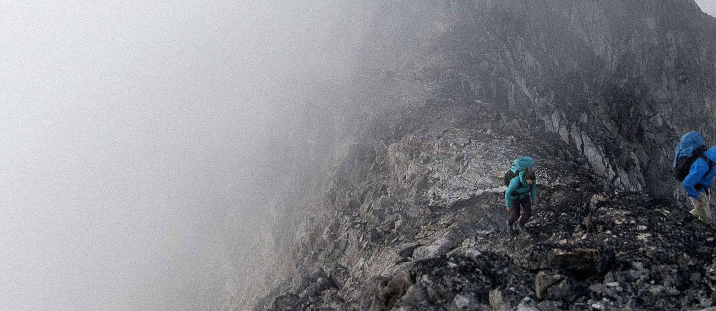
The Eastern slopes of the Rockies are drying out nicely and many of the scrambles and ridge traverses are coming into shape. Expect some snow patches on high N aspects and check for ticks when you get home.
The snowline in the main ranges of the Rockies and Columbia Mountains is still hovering around treeline on North aspects with South aspects and exposed ridges drying out more rapidly. You can expect to encounter snow patches or snow covered trails on many shaded aspects above 1900 m with snow conditions varying from nice supportive snow, to deep postholing depending on the temperatures and snowpack depth. Popular scramble routes such as the SW Ridge of Mt Temple are still holding a lot of snow and need more time to come into shape.
The glaciers still have good snow coverage and travel on cool mornings has been decent in the last few days. Last weeks snowfall and subsequent wind slabs have generally settled out and bonded, or melted off with the heat. The main avalanche concerns over the coming weekend will likely be daytime heating of the surface snow. Concerns for new snow loading will return over the following week if the forecast holds true.
Snow travel conditions this weekend will depend on the overnight temperatures and cloud cover but it looks like Sunday morning could be a good time for a trip up high, provided you can get back down early enough to avoid the normal daytime heating hazards such as weakening crevasse bridges, wet snow avalanches, cornice failures and increased rockfall.
If venturing into higher alpine rock routes, keep a close eye on melting snow patches that might be spitting rocks your direction.
Updated reports from the last week are as follows:
- Most eastern and lower elevation climbing areas are in good condition. Continued vigilance for loose rocks as a result of the freeze thaw cycles of the past winter is important!
- Expect snow patches and muddy trails on shaded aspects as you approach treeline in the Rockies and Columbia Mtns
- North Face of Athabasca - reasonable shape in general though not much ice through the crux, good glacier travel
- Mt Aberdeen - some snow on the approach, bare ice on the glacier tongue and looked like good glacier coverage above this
- Castle Mountain - Expect snow on the backside, in sheltered pockets and on the normal descent. Good water available at the hut.
- Still a fair bit of snow on the Perron approach to Neil Colgan but passable, 3/4 Couloir saw traffic as well.
- Mt Tupper W Ridge, Little Sifton, Uto S Ridge and MacDonald NW Ridge Integral in Glacier Park - generally easy travel on snowy approaches, routes were dry.
- No reports yet from the Bugaboos but likely a fair bit of snow in the area.
Have a great weekend!
Conrad Janzen
ACMG Mountain Guide