ACMG Mountain Conditions Summary for the Rockies and Columbia Mountains. July 23, 2020.
Summer is trying to make an appearance but the Rocky and Columbia Mountains are still snowier than normal for this time of year.
WEATHER
Despite the snowy tops, the weather has been more summery in the past week. Valley bottom temperatures over the last few days have reached the high 20s in the Rockies and warmer than that in the interior. This hasn't always translated into balmy temps up high though, today I had to layer up on a Kananaskis summit.
Although there haven't been significant amounts of precipitation recently, there have been occasional lightning storms occurring late in the day and into overnight.
For the coming week there may be a pulse of moisture happening Friday and perhaps even into Saturday, especially in western and northern areas. The rest of the week is looking drier and warm daytime temperatures should continue. Overnight freezes, especially on clear nights, may still occur on the glaciers.
CONDITIONS
For lower elevation endeavours, and on the rock peaks in the front ranges of the Rockies, prime summer conditions prevail.
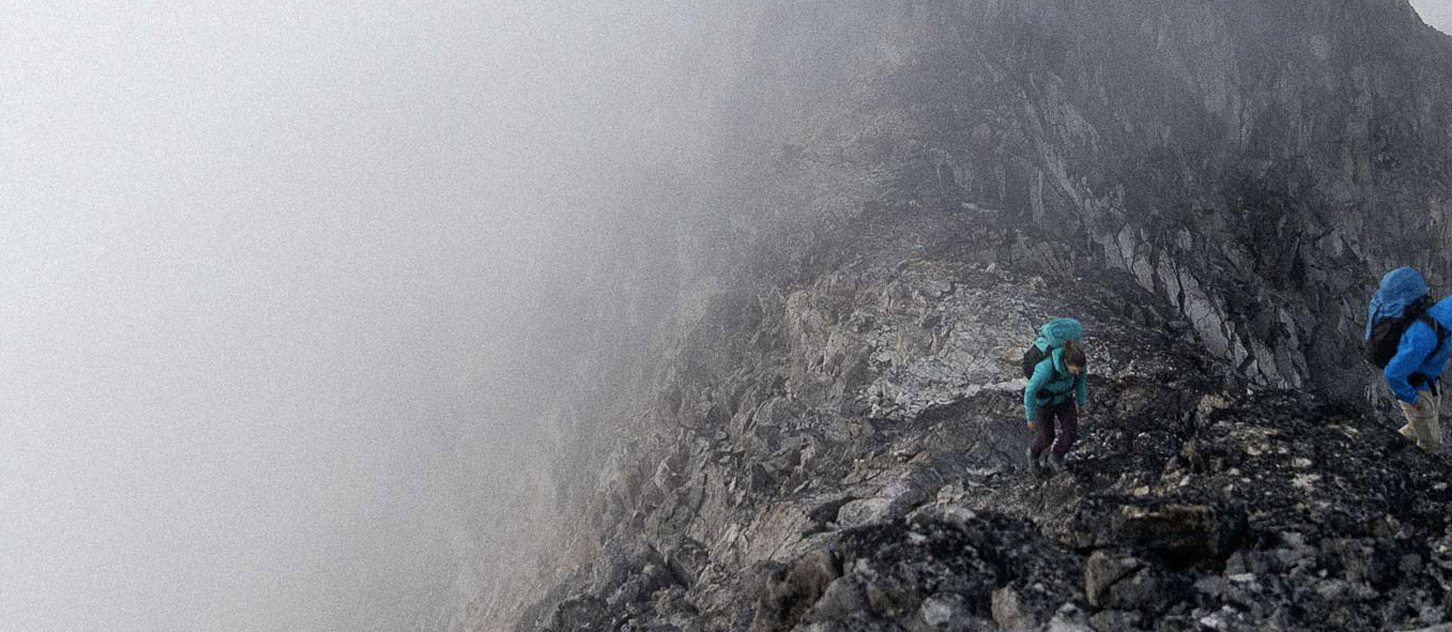
In the alpine it is a different story. If you like alpine rock be prepared to be disappointed
at how few routes are in right now. There is still snow on many of our favourite rock peaks in the Bugaboos and Rogers Pass.
Glaciers and snow and ice peaks can be great, if you get a freeze. Early starts and especially finishes are essential. One party got off Victoria North just after 11 AM and felt that they had "just squeezed it in" before warm temperatures increased hazard significantly.
Mixed alpine ridges and faces are still difficult and hazardous due to snowy conditions.
There is still snow to deal with on trails at upper elevations. Parks crews had to shovel out the Cavell Meadows trail so they could open it a few days ago.
HAZARDS
All our present hazards start with warming temperatures: rockfall, cornice collapses, avalanches, weakening crevasse bridges, and lightning storms.
Timing your placement in the terrain is everything right now. Be out of exposed terrain before the temperatures warm up enough to create hazard. That could well mean being on the non-technical descent of an alpine climb before noon. It could mean getting over the alpine pass, or off the rock climb, before the afternoon lightning strikes begin.
Setting your alarm for an early start is essential. One of the rules of thumb I use is to calculate how long a route is going to take, understand what time I need to be off it, and count backwards to figure out when to wake up. Then get up an hour earlier than that :)
OBJECTIVES
This week I am headed for:
- south and west facing alpine rock climbs
- snow and ice routes where I can move fast with early starts on cold mornings
- front range scrambles
- exploring hikes into alpine areas
I am avoiding:
- long mixed routes where deeper snow and rapidly warming mornings will create avalanche, cornice fall, and rockfall hazards
- shaded alpine rock climbing above 2500 m
- highest elevation hiking trails
Mark Klassen
Mountain Guide