ACMG Mountain Conditions Summary for the Rockies and Columbia Mountains. July 22, 2021
WEATHER
It was hot again this past week which continued to melt away any snow up high, and overall has made the ice faces look like mid August, not mid July. Having said this, a report from the Mt. Alberta hut near the Columbia Icefields this AM (~2750m) said there was 5cm fresh snow at the hut, was cold today, and that snow wasn't really melting.
So far, the weather forecasts for the Rogers Pass, Bugaboos aren't calling for major precipitation, and temperatures look slightly cooler for the week, but anything feels cooler than the heat dome! I wouldn't be surprised to see some thunder showers develop locally this weekend.
In the Rockies starting Sunday, some models are calling for significant precipitation further to the North along the Columbia Icefields, Jasper, and Robson regions. This could mean some snow in the really tall mountains, and rain below. To the South and along the foothills very little precipitation is in the forecast.
CONDITIONS AND HAZARDS
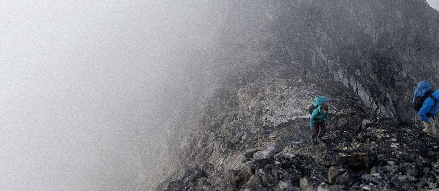
Rogers Pass and the Bugaboos have been in prime condition this past week. Dry ridges, mostly dry rock faces, and still some snow left on the glaciers. With continued warmer temperatures this is changing by the minute, and I would think places like the Bugaboo/Snowpatch col are starting to see some exposed rock which translates to rockfall hazard, and crevasses starting to open up.
Most of the ice faces and gullies in the Rockies are dismal. Many are bare ice with embedded rocks, or all the ice is gone exposing loose rubble. Crevasses are open or are opening up and there is plenty of bare ice showing on glaciers. The upside is many rock routes and ridges are prime. As mentioned before, some of the really high peaks to the North like the Columbia Icefields received some snow, so rock objectives may need to be put on hold until that dries.
The other major hazard is the forest fire smoke which has been waxing and waning. I have been using some of the online webcams and fire smoke mapping to see which area might have the least smoke for the day.
THINGS TO DO/AVOID
Given the current forecast, I think rock objectives are the go to for the next while and routes in most regions are in great condition. The exception would be up North where the forecast looks much wetter. Places which will have the greatest amount of uncertainty and risk will be ice faces and gullies due to rockfall hazard. Personally I will be avoiding those for the foreseeable future.
Have a good weekend
Steve Holeczi
ACMG Mountain Guide