ACMG Mountain Conditions Summary for the Rockies and Columbia Mountains. July 16, 2021.
High temperatures continue to be the story, and their effects should inform every decision we make in the mountains of western Canada for the foreseeable future.
WEATHER
Heat, heat, heat. I can't remember the last time we had below freezing temperatures below 3500 m.
Expect more of the same in the coming week. Some forecasts are showing a slight cooling trend in a few days, but we need to remember that these computer models are based on past weather events and do not reflect climate change effects. When I wrote the summary two weeks ago these models were also calling for cooler temperatures, and we had nothing of the sort.
Some precipitation is forecast to occur, especially to the north and west of the Rockies/Columbias. Amounts look to be light, and mostly in the form of afternoon showers rather than an organized frontal system. I would not be surprised if lightning is associated with these showers.
CONDITIONS
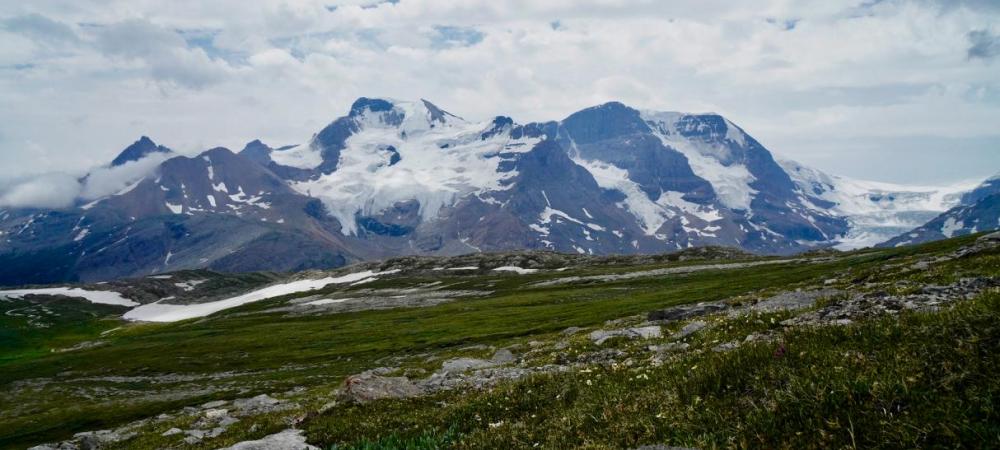
The heat has created dry conditions, especially in the Rockies. In this range expect glaciers to have icy toes, opening crevasses with weakening bridges, and bergshrunds whose smiles are getting wider. The roadside peaks at the Columbia Icefields seem to be the hardest hit.
In the Columbias the glaciers and snowpack seem to be faring better – for now. Glacier travel in the Bugaboos has been reported to be good, with snow reaching all the way to the Bugaboo-Snowpatch col and minimal snow on alpine rock routes in Rogers Pass. But expect conditions to change rapidly, and unless you are planning to go there today be prepared for conditions that may be drastically different than what was reported in the past few days.
The good news is that rock climbing, alpine rock routes, and hiking trail conditions in all regions are prime for the most part.
Note that in some areas it is mosquitoe-geddon (EG my backyard in Banff).
HAZARDS
The hot weather creates most of the hazards I am concerned about right now:
- wildfires (including accidentally starting one)
- rockfall, especially on ice routes or places where snow is exposing unstable rock
- weak crevasse and bergschrund bridges
- wildfire smoke inhibiting visibility and damaging my lungs
- afternoon lightning storms
- heat exhaustion / heat stroke
- high water volumes in streams and rivers
- cornice failures
- serac falls
- wet snow avalanches
Over the past decade, as wildfire smoke has become a regular occurrence, I have found myself surprised more than once by poor visibility, which affected my ability to route find properly and see upcoming hazards. It has especially impacted my capacity to see thunderheads forming in the distance. The smoke also traps heat and often causes overnight temperature forecasts to be warmer than predicted.
Both the heat and smoke increase hazard and affect my physical capabilities. I treat extreme hot weather a lot like extreme cold: I begin to adjust my expectations, timing, and objectives if the temperature forecast is hotter than 25.
OBJECTIVES
This week I would be headed for:
- shaded rock climbs
- alpine rock
- moderate glacier routes, especially in the Columbia Mountains
- higher elevation scrambles, especially those near the divide if I am in the Rockies
- high elevation hikes
I am avoiding:
- areas with Extreme fire danger
- areas with thick smoke
- ice faces
- couloirs and gullies with any amount of snow in them
- lower elevation hiking and rock climbing
AB Fire Danger Map (choose Fire Danger Rating from the layers list): https://esrd.maps.arcgis.com/apps/webappviewer/index.html?id=0b85f875699...
BC Fire Danger Map (choose Wildfire Danger Rating from the layers list): https://governmentofbc.maps.arcgis.com/apps/webappviewer/index.html?id=a...
Smoke forecast: https://firesmoke.ca/forecasts/current/
Early starts and finishes are key to reducing hazard in the heat wave. Let's hope cooler temperatures and rain are not too far off.
Mark Klassen
Mountain Guide