ACMG Mountain Conditions Summary for the Rockies and Columbia Mountains Issued September 8, 2017
It is finally time to check the weather forecast and pack a rain jacket for any mountain adventures this weekend. A couple of cold fronts moving through the region are expected to bring unsettled weather, thunderstorms and some much needed precip. While the majority of the precip will be west of the divide, a little rain and a fresh coating of snow at high elevations are expected in most areas by the end of Saturday.
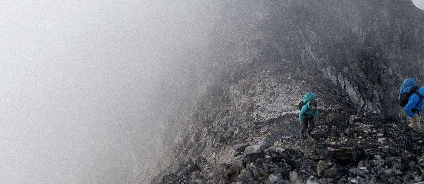
The past week has seen continued warm and dry conditions in the mountains, with several days of strong inversions keeping temperatures up high very warm. The main concerns have continued to be rockfall hazards due to melting snow/ice, loose boulders in previously glaciated terrain, and crevasse hazards with the thinning glacier snowpack. A few close calls with rockfall were reported in the Columbia Icefields area. Alpine rock routes have been in ideal condition with many large objectives being climbed. The glaciers in both the Rockies and Columbias have many bare areas by now. Crampons and good route finding skills are a must, though areas with snow are still in good shape. Reports of the Mt Bryce traverse, and trip over the Illecillewaet last week were both very positive.
Fire closures are still in effect for large parts of BC and in some of the Mountain Parks, so check this before planning any trips.
Eastern areas of the Rockies should see a return to sunny weather by Sunday, so front range alpine rock or lower elevation rock climbing in the Columbia's is probably a pretty good bet. If we see a fresh dusting of snow and the temperatures cool, there could be a few alpine snow and ice routes coming back into shape for early next week, but keep a close eye out for rock fall if the sun comes out. High elevation rock will take a little more time to dry out by this time of year, so but will come around if the sun persists.
Have a good, and perhaps less smoky, weekend!
Conrad Janzen
ACMG Mountain Guide