ACMG Mountain Conditions Summary for the Rockies and Columbia Mountains. August 28,2020
This past week was great overall with good freezes, dry rock and lots of sun.
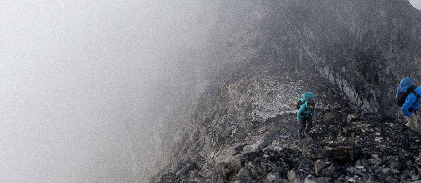
People are getting out on all of the main objectives and reporting great conditions for this time of year. Usually by late August there are brown streaks on all of the ice faces and gullies with lots of rockfall. This year is a bit different due to better snow coverage.
Having said this the main hazards are:
- Rockfall. Anywhere that has melting snow, or features that are melted out where rocks can get moving should be treated as suspect. Consider this before exposing yourself to overhead terrain, especially with warmer temperatures.
- Thinning snow bridges on glaciers. It is worth probing to see how much snow is"actually" underfoot when considering crossing crevasses and bergschrunds.
The weather looks mixed for the coming week. A cold front is moving through Saturday which may bring some snow over 3000m and rain below. This appears to be short lived and Sunday and Monday look to be cooler with better weather. The rest of the week looks variable depending on where you are with some rain and maybe some higher snow.
Summer could be over any minute, and the days are getting shorter. Look for your weather window and get after it!
Cheers
Steve Holeczi
ACMG Mountain Guide