ACMG Mountain Conditions Summary for the Coast Mountains - October 17th, 2019
Shoulder season…
Lots of precipitation and cool temperatures will be bringing us through the weekend and well into this time of year known as “the shoulder season”. What this may mean for those not hiding indoors but wanting to venture into the mountains is as follows.
New snow is the main factor to any mountain travel at the moment, with a snow line landing around 1000m today and reports of up to 40-50cm above 2000m. Looking at the forecast we can expect to see continued snowfall and a 1000m freezing level into early next week. Mixed forecast are expecting up to 30cm of new snow within that time!
Avalanches: With the current snow amount I would suspect wind slabs are starting to develop in isolated lee terrain, which could be triggered by foot traffic or naturally. As well with the cool temperatures I would expect to see lots of sluffing in steep terrain in the high alpine. Given the weather forecast this avalanche issue will become greater until well after that sun comes out again next week. If in fact, we receive the forecasted snow amounts this will certainly be reaching the amount to pose a widespread threat to mountain travelers. Using avalanche safety equipment and a more standard winter decision making process should be taken.
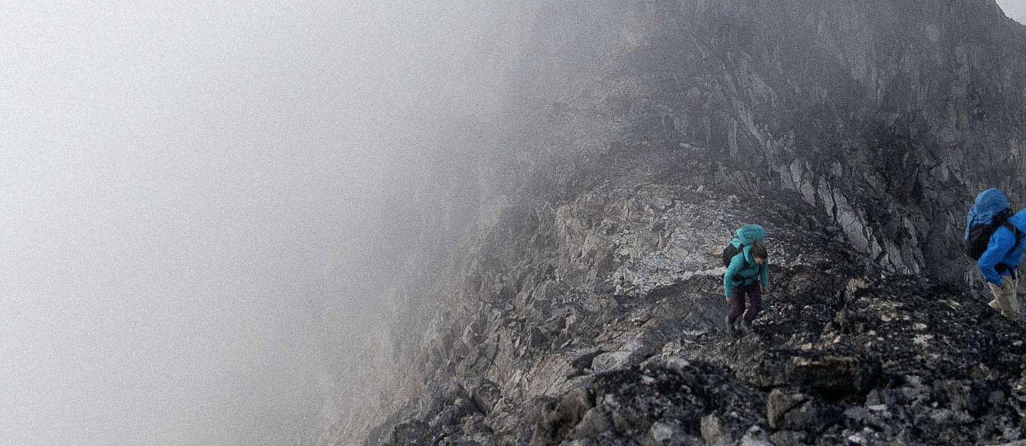
Challenging Travel: This fresh coat of snow will make general travel much more difficult, covering trails into treeline, obscuring proper foot placements in off trail terrain and making travel on glacier much more challenging to determine the appropriate line through the late summer exposed crevasses. After the past dry summer glaciers have opened up substantially with lots of exposed ice and open crevasses, this new snow is now covering these features, without adding any bridging strength. This will make avoiding open crevasses much more challenging and require diligent travel and snow bridge assessment practices.
Wet rock: Alpine terrain will no doubt be largely covered in new snow or scoured down to rock in exposed areas. As well thin ice likely starting to form in water veins on high north facing terrain. Below 1000m rock will remain free of snow but very saturated until early next week when the weather pattern shifts.
Objectives: The reality of this coming week is mountain travel will be very difficult! Given the new snow, the high alpine is best to be avoided until more information on potential avalanche danger is known. Lower elevation mountaineering objectives may be suitable if the snow accumulation is minimal. Potentially peaks such as Sky Pilot, Lions have not received the snow amount due to their lower elevations to yet be an issue. Similarly, lower elevation hiking and scramble trails which have not been impacted by the new snow would be reasonable objectives for the time being.
Happy shoulder season!
Ross Berg
IFMGA Mountain Guide