ACMG Mountain Conditions Report Summary for the Rockies and Columbia Mountains issued Jun 3, 2016
The forecast for the weekend and into next week looks great for rock climbing, front range alpine rock and lower elevation activities, with hot sunny weather throughout the Rockies and Columbia Mountains.
At upper elevations along the Rockies divide and in the Columbia's, this hot weather will help shed the new snow that has accumulated over the last week and accelerate the transition into summer conditions, but travel conditions will depend on how solid the overnight freeze is. Expect things to warm up fast in the morning with deteriorating travel conditions, and an increase in rockfall and avalanche hazard through the day! Avalanche gear is still a consideration for steep snow objectives. Keep a backup plan in mind if a good overnight freeze does not occur, or the crust breaks down faster than expected. A good sense of humour could also be useful if a lot of postholing is encountered :)
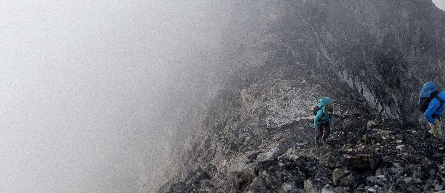
The Rockies had accumulations of 5 to 25cm above 2800m along the divide over the last week. This new snow remains primarily on N aspects and will take a couple days to settle and bond. Observations from the Icefields,
Lake Louise and Lake O'Hara on Thursday and Friday were of small slabs and loose wet avalanches up to size 1.5 due to new snow and daytime heating. Travel was difficult with postholing at lower elevations. Travel below treeline (2400m) is mostly dry with snow patches on North aspects. In the front ranges, South facing rock is generally dry and places like EEOR, Castle, Edith and Louis are in good shape. The normal early season rockfall precautions apply as snow patches melt out and loose rock from the winter freeze thaw cycles is present.
Reports from Glacier National Park are of snow covered rock on Mt Tupper and Macdonald as of Thursday afternoon, which will take a few days to melt off. Sir Donald still looks quite wintery and most places are snow covered above 1750m (i.e. Hermit Meadows). Travel conditions are again somewhat dependent on the overnight crust recovery but should be decent in the mornings.
For those not quite ready to put away the skis, as recently as Tuesday good skiing conditions were found on an ascent of Mt Columbia's East Face with good travel down the Athabasca Glacier to the bottom of the first icefall where the ice is now bare. The upcoming heat may change that but with early starts some ski objectives may still be possible.
Have a great weekend!